Page 47
Searches the whole library — filter by sim & category on the results page
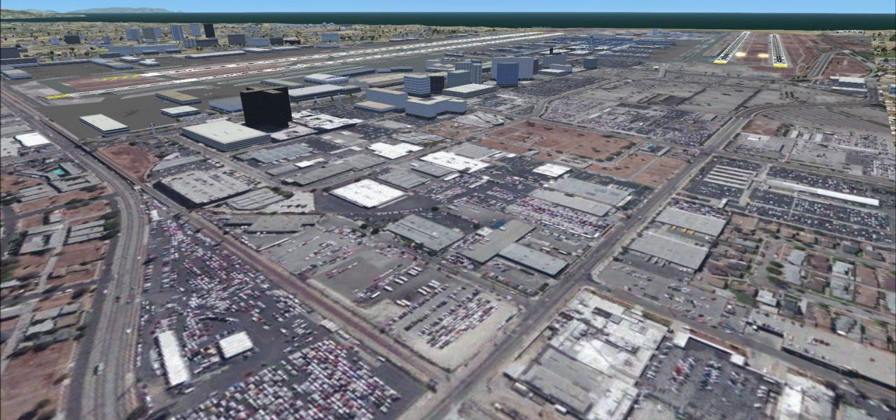
Covering KTCY Tracy Municipal in California, this FSX AFCAD rebuild refines parking stands, GA ramps, realistic hold-short points, corrected taxiway designators and runway markings, all drawn from …
 310.96 KB
 126Nov 2011
 1
1
FSX Wynoochee Lake positions a back-country airstrip and floatplane ramps on Washington’s quiet reservoir, 40 nm south of Port Angeles; ICAO BOB offers a short, rough dirt surface and tricky tree-l…
5.19 KB126Apr 2011
Two reimagined Hawaiian strips—HI33 and HI46—bring FSX pilots fresh MedEvac and GA challenges: HI33 now serves as a daylight-lit fly-in hospital complex with dual helipads, fire station and trauma …
429.54 KB125Feb 20125
AKSP Salmon Point scenery plants a fictional bush strip on a headland south-west of Chenega in Prince William Sound, about 70 NM from Seward and 65 NM from Valdez, with a 3,500-ft gravel runway, tw…
1.1 MB125Feb 2012 1/59
1/59
For Microsoft Flight Simulator X flyers mapping Ohio, this Ghost Airports edition revives Martin Field, the disused grass strip five miles northeast of Canton on US-62, active 1930s-1997. Expect re…
603.31 KB124Mar 20121/52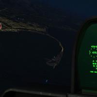
Covering Port Angeles through Tacoma, this 2012 FSX scenery module for Microsoft Flight Simulator X adds Independence-Day pyrotechnic displays at 20+ Western Washington sites, including Bellingham,…
1.45 MB123Jan 201327Covering the general-aviation hub at Hampton Roads Airport (KPVG) in Chesapeake, this FS2004 scenery file introduces extra GA parking positions, a corrected taxi network leading to runway 28, and u…
3.63 KB123Jun 2012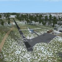
Rhode Island’s Richmond Airport (08R) for FSX replaces the default overscaled layout with prototypical hangars, corrected ramp geometry, repositioned fuel point, and dense treelines that tighten th…
500.93 KB123Feb 20121/51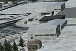
Granville Airport (B01) scenery for Microsoft Flight Simulator X plants a 2,500-ft asphalt strip amid upstate New York’s rolling terrain, adding custom buildings, accurate runway markings and lean …
2.74 MB123Feb 20121/5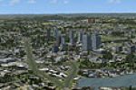
Holyoke, Massachusetts scenery for FSX renders the mill skyline and Connecticut River corridor with custom objects placed via Flight1 Instant Scenery, aligned to Ultimate Terrain USA; the compact a…
3 MB123Nov 20114/5
KELP El Paso International AFX revision reshapes gate coding, airline ramps, and cargo pads via Airport Design Editor with ProjectAI radius standards, optimized for AI traffic in Microsoft Flight S…
177.09 KB122Jun 2012
Covering KEQY Monroe Regional / Charlotte Executive in North Carolina, this FSX scenery injects accurate AFCAD data, realistic photoreal ground polys, corrected taxiway designations, dynamic ramp l…
1.4 MB122Dec 20113
FSX scenery add-on revises Boire Field / Nashua Municipal Airport (KASH) in New Hampshire, USA, bringing redrawn aprons, corrected taxiway and roadway geometry, custom hangars, terminal structures,…
9.67 KB121Dec 2011
Covering Southbridge Municipal (3B0) in central Massachusetts, this freeware scenery add-on for Microsoft Flight Simulator X introduces revised airport structures, additional autogen, and terrain t…
4.46 MB121Nov 2011
Shelter Cove Airport (0Q5) on California’s remote Lost Coast gains a photoreal revamp for FSX, built from high-resolution Google Earth orthoimagery and ADE-generated BGL files. Default-library obje…
289.74 KB121Nov 20111
09FA Placid Lakes Airport, Lake Placid FL, is recreated for Microsoft Flight Simulator X with an updated AFCAD, refined ground textures and pilot-controlled strobes, matching current sectional data…
992.25 KB120Jan 20124
Tri-Cities Airport KCZG for FSX receives a quiet revamp that aligns taxiways, aprons and access roads to current AirNav and Google Earth references, replaces generic buildings with hangar and termi…
454.58 KB120Dec 20113This FSX-specific refresh of Auburn/Lewiston Municipal (KLEW) in Maine rebuilds the GA ramp layout, realigns runway 4/22 markings, adds custom hangars, refines taxiway signage, positions two static…
2.3 KB120Nov 2011
Songlo’s out-of-the-way 3AK3 bush strip is rendered with photographic ground textures, mesh-matched elevations and six extra spawn points, giving FSX SP2 pilots precise runway alignment and subtle …
137.04 KB119Feb 20122Spokane’s Felts Field (KSFF) gains a dedicated fuel-truck animation in this FSX / Microsoft Flight Simulator X addon, sharpening ground services for GA pilots who frequent the historic Washington a…
6.92 KB119Nov 20114/5