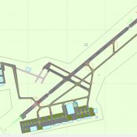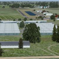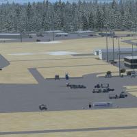
Charlottetown Airport
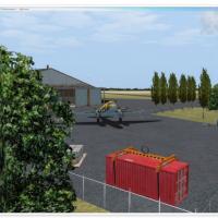
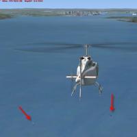
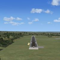
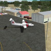
This FSX / Microsoft Flight Simulator X add-on, compiled in ADEX and supplied as BGL files, updates CYYG Charlottetown Airport, Prince Edward Island, with corrected runway alignment, custom terminal modeling, relocated tower, ground vehicle routes, LED apron lighting, static GA and commuter aircraft, vegetation libraries, and bundled approach plates for realistic IFR procedures.

- 2.81 MB

- 431

- 7