California Central Coast (Revision 4)
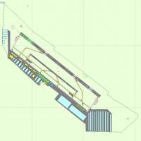
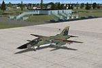
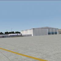
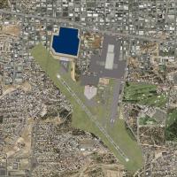
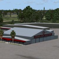
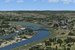
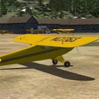
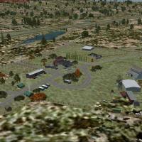
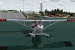
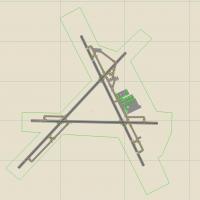
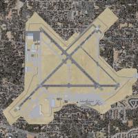
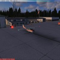
Covering Paso Robles to Vandenberg, this freeware Microsoft Flight Simulator X add-on, California Central Coast Revision 4, updates KPRB, KSMX, KVBG, KSBA, KSBP and L52 with the Estrella Warbird Museum, animated ASR-9 surveillance radars, refined landclass, night lighting and revised AFD files, supplying VFR pilots and IFR planners sharper runway data, improved landmarks and a balanced coastal terrain profile.

- 1.02 MB

- 259

- 5/5

- 3