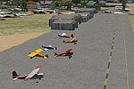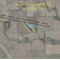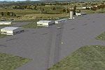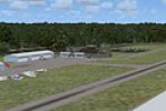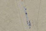
Garret County Airport
FSX upgrade for Garret County Airport 2G4, Accident, western Maryland, injects a 5,000-ft runway, parallel taxiway, refined ramp layout, GA tie-downs, fresh and in-construction T-hangars, beacon tower, and an ADE9X AFCAD, giving VFR flyers a tidier circuit and more realistic traffic flow.

- 4.67 MB

- 128