Ants Aussie Airports Vol. 1
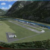
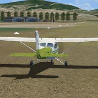
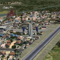
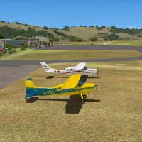
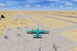
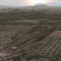
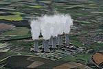
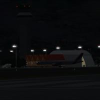
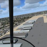
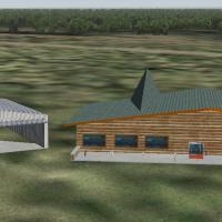
Anthony Lynch documents five airfields in and around the Snowy Mountains, including Cooma-Snowy Mountains YCOM, Polo Flat YPFT, Tumut YTMU, Khancoban YKHA, and Geehi, which has no ICAO. Most sites feature photoreal backgrounds, and almost all 3D objects are custom built.

- Australia

- 33.19 MB

- 574