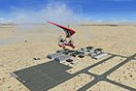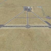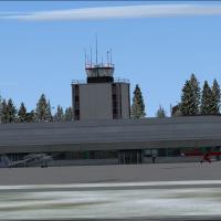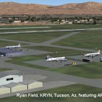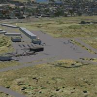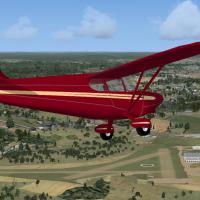
Adirondack Regional Airport
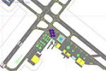
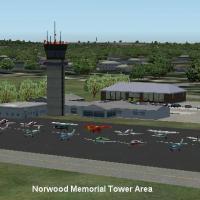
FSX users flying the Northeast United States can slot this Adirondack Regional Airport (KSLK) enhancement into their setup, adding extra general-aviation stands, re-profiled aprons and taxiways, replacement terminal models, static ramp traffic and scenery objects built with AFX/Instant Scenery, aligned to AirNav charts and Google Earth, fully compatible with stock libraries, Ultimate Terrain and FSGenesis landclass.

- 8.16 KB

- 179

- 2/5