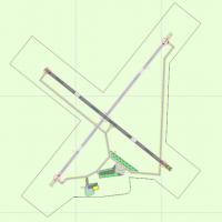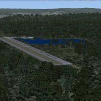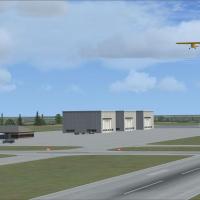
Frank Lenihan Municipal Airport
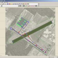
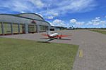
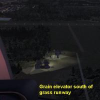
KPFL Frank Lenihan Municipal Airport scenery installs a fictional regional airstrip near Lustre, Montana, for Flight Simulator X, bringing a refined AFCAD layout, IFR-capable navaids, tower comms, refuelling stand, optional AI traffic file, terrain-flatten polygon and autogen-friendly textures that sit cleanly on the Great Plains mesh, DX10 status unverified.

- 676.22 KB

- 59

- 2/5

- 1