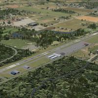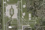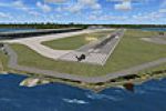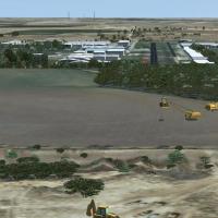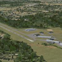
Worcester Regional Airport
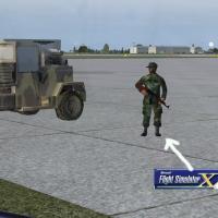
FSX upgrade for Worcester Regional Airport (KORH), Massachusetts, refreshes the default layout with redrawn aprons, accurate taxiway geometry, custom terminal and fire-house models, light poles, static vehicles, and Direct Air gate assignments, all positioned via AirNav charts and Google Earth for chart-matched approaches.

- 10.68 KB

- 394

- 3/5