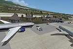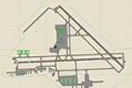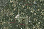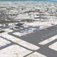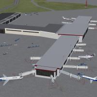
Erie International Airport (KERI)
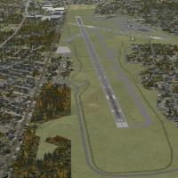
Covering Erie International Airport (KERI), Tom Ridge Field, Pennsylvania, this FSX-specific scenery incorporates the 2012 1,850-ft runway 6/24 extension (now 8,350 ft), realigned parallel taxiway, rebuilt passenger terminal, refined pavement joins and additional land-class tweaks, offering accurate ILS, AI route mapping and stock-library structures placed via ADE9X for a faithful regional hub rendition.

- 7.44 MB

- 334

- 1