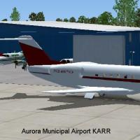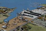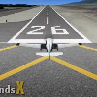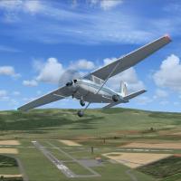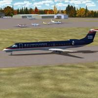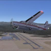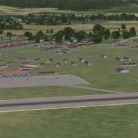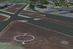
Rock Lake Airport (Upper)
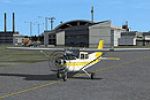
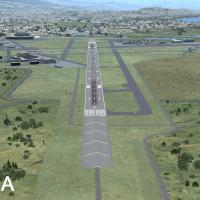
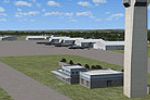
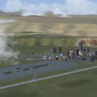
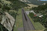
FSX pilots exploring Alaska can slot the fictional Rock Lake Airport (KRLU) into their bush-flying catalog; this remote 2,400-ft asphalt strip is carved into Wrangell–St. Elias mountain terrain, perched above Rock Lake with shore-side dock access, cabins, private hangars, fuel stand, and a concrete helipad—ideal for STOL, floatplane, or rotary-wing operations amid scenic backcountry.

- 2.86 MB

- 245