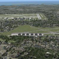
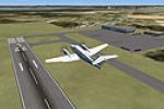
Paulding County Regional
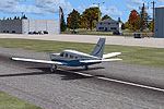
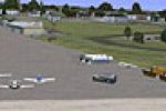
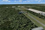
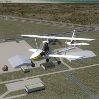
Focusing on Paulding County Regional Airport (KPUJ) near Dallas, Georgia, this Microsoft Flight Simulator X scenery re-creates the 5,000 × 100 ft concrete runway, operational ILS/DME on 109.15 for RWY 31, CTAF 123.075, precise taxiway geometry, dual aprons and interim facilities, compiled via ADE and SBuilderX for smooth use alongside Ultimate Terrain X and Ground Environment X.

- 63.31 KB

- 114