Page 4
Searches the whole library — filter by sim & category on the results page
Two weather variants accompany an Adak airport scenario, presenting snow storm conditions and online weather, with the option to use one or both. It adds an Alaska Alines Boeing 737-800 upgrade tha…
Sur America Cargo Ltd conducts a cross-Andes freight flight from Quito to Guayaquil, crossing the mountains at 21,000 feet aboard a DC-6a. It has three route files named SUR AMERICA CARGO DC-7 TO G…
The Chase centers on an unmanned aircraft that spirals out of control, demanding timely interception before danger escalates and spectacle gives way to a cautious resolution. An effects file fx_eng…
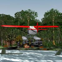
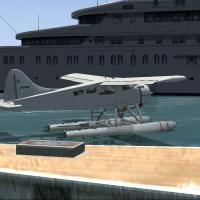
In the third installment of the Orinoco sequence, an adventure centers on a Fairchild FC-2W2 Floatplane, with accompanying assets comprising .BGL and .LC files and .BMP files. The flight file ORINO…
Laura Fokkler, a female scientist, is missing in the Darien region of Panama where she has lived since 1939 after contributing to US Army Air Corps project dating back to 1932; the search notes the…

By David Crandall, this seaplane cargo run delivers goods to a hut at Lonesome Lake in the White Mountains of New Hampshire. A Lonesome Lake.RWD file appears in the configuration, anchoring the mis…
A DC-3 tours a Costa Rican rail route from Alajuela to Puerto Limon and Bocas del Toro, presented as The Coffee Train. Contents include seven BGL files such as Cartago.bgl and MRSA_ADE_OG.bgl, plus…

Four long floatplane flights take place across Scotland, linking inland lakes and reservoirs in the United Kingdom with detailed briefings instead of fixed flight plans. Gordon Wilkinson notes scot…
An English version guides a ground-focused flight toward Huesca, challenging a vintage aircraft as you photograph near terrain, available only for acceleration users. By Jose Enrique Arino, two ins…

Balloon rescue centers on rescuing a participant in a balloon race who encounters trouble in rolling hills near Napa, California, authored by Wes Jones. The scenario remains compatible with all ver…
By Gordon Wilkinson, this series focuses on flights over inland lakes and reservoirs across the United Kingdom, using a default Beaver on floats. No formal flight plans exist; briefings enable VFR …
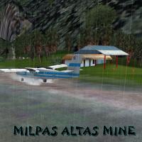
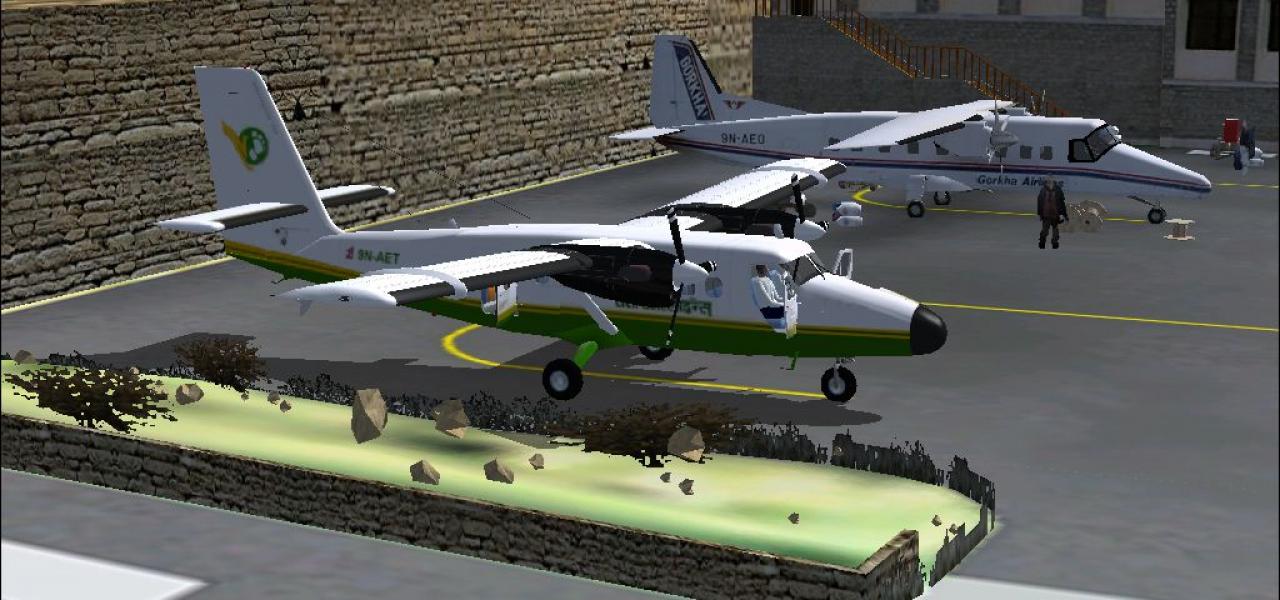
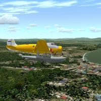
From Puerto Barrios (MGPB) the DHC6-400 Twin Otter handles a mining-site assignment toward the northeast of Guatemala, owned by Canada Bushquak Metals and H2O. The aircraft carries five appearances…
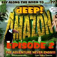
By Gera Godoy Canova, the Amazon jungle airfield mystery follows a scientist-led flight that culminates in four out-of-the-way towns to recruit helpers. .bgl files, a BMP texture, Flight files, and…
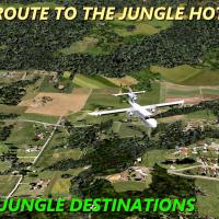
Pilots use a Trislander to fly to lodgings in Guatemala: Three Owls Jungle Inn for two nights and El Tesoro lodge for one, priced at 2500 Euros from a European capital. A route map file HOTLES.JPG …
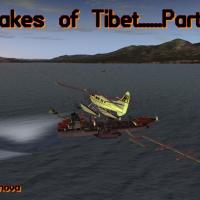
Chapter II surveys three Tibetan lake-area projects in the Roof of the World, authored by Gera Godoy Canova. It notes the Hung-Ku experimental station and Bukalam Airport, and provides a navigation…
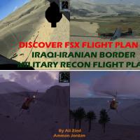
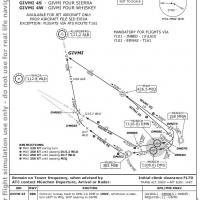
A squadron based at Kirkuk Air Force Base in northern Iraq conducts border patrols and reconnaissance along the Iraqi-Iranian frontier, while navigating valleys and ice-capped mountains at low alti…
 Base Model
An A320-211 Project Airbus variant supports a Munich-to-Hamburg run under storm conditions. The archive notes optional Groundhandling5 support (rcbgh-50.zip) and an Airbus_A320 panel with integrate…
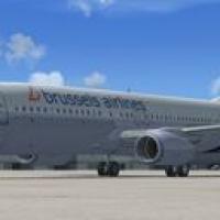
Flight from Brussels National Airport to Rome Fiumicino Airport by a Brussels Airlines 737-800 follows predefined waypoints for about two hours. A skin for the default Boeing 737-800 and a mission …
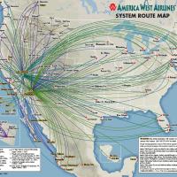
America West captain Eugene Smith sits ready at Runway 24L, LAX, in a 1994 setting, as the copilot handles radios. The pilot prints a checklist and reference to follow procedures by the numbers, by…
 Base Model
Two flight variants present the Space Shuttle Atlantis at Edwards, California, with an autopilot-enabled ILS final approach and a manual glide option that starts with a left-hand turn. Atlantis-1.Z…