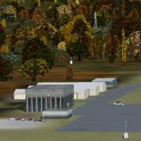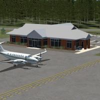
Anson County Airport
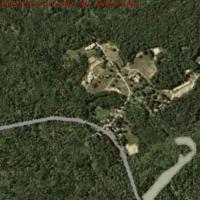
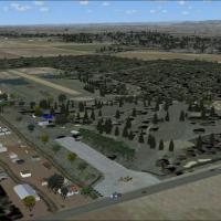
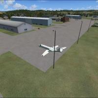
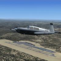
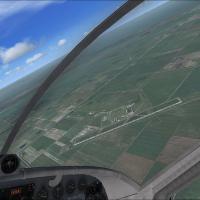
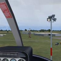
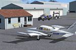
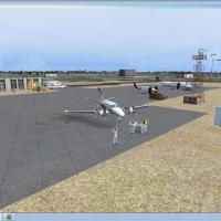
Covering rural Wadesboro in North Carolina, this FSX-ready Anson County Airport (KAFP) package places the 2008 configuration in the sim, showing the 5,500-ft 16/34 asphalt runway, full-length parallel taxiway, 2,400 sq ft terminal, active flying-club hangars and adjacent Triangle Brick plant through custom GMAX objects, tuned AFCAD, night lighting and seasonal photoreal ground polys.

- 9.52 MB

- 111

- 2/5

- 6