Page 3
Searches the whole library — filter by sim & category on the results page
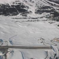
The scenario uses the default Bell 206B JetRanger to perform a remote canyon-area rescue near Virgin River Gorge by St George, Utah. It works with the Utah_COMPLETE.ZIP add-on and includes an IMM f…
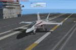
USNavyPullout.XML replaces the current XML to fix a carrier landing by correcting the prox trigger rectangle, replacing an incorrect area and stabilizing the landing sequence. The scenario unfolds …
By William K. Jibby, this tutorial from the SDK remains ready to use and is primarily for learning purposes. It includes a visual cue stored as msncrtut.gif, and the image is located at /userimages…

By Carlyle Sharpe, this Airbus A321 US Airways variant carries atc_id N163US and atc_flight_number 1549, while a downloadable uwa321.zip patch enables float capability for the approach near the Hud…
An expedition moves from Delhi, India toward a temple site in the Tajikistan mountains, with a transfer at a distant airfield before approaching by a smaller aircraft. It requires two ZIPs, prjdefe…
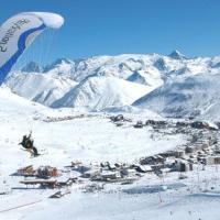
By Robbie Albers, this alpine-focused scenario centers on Meribel in the French Alps, marking the developer’s third endeavor in a series about remote runways with steep approaches. The Alps 3.PLN a…
Developed by Robbie Albers for an alpine-themed scenario, this fourth installment focuses on Alpe d’Huez’s high-altitude setting with steep terrain and a shortened runway that demands careful speed…
Three ZIP files present a microlight tour around Playsims' Southern Scotland VFR area, with Part 1 listing Playsims Vol-8 and preferably Vol-3 Northern England along with Neil's Farm Strip, credite…
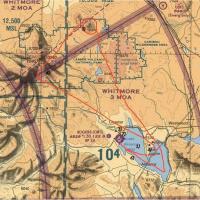
Based at AFB Swartkops near Pretoria, Caravan 41 Squadron of the South African Air Force plans a two-day, low-level VFR routing to AFB Langebaanweg to showcase the Western Cape for a US Navy visit …
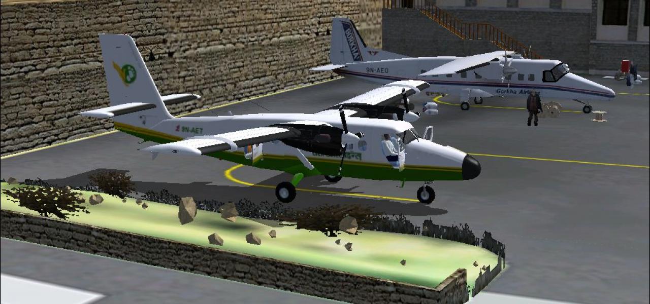
Chartered by a honeymoon couple, Saba Island sits near Princess Juliana, featuring a runway 800 feet long. The setup uses a Cayman Airways DHC-6 Twin Otter as its primary aircraft and adds an accom…
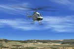
A Bell 206B JetRanger transports a forest ranger to his fire tower in the Idaho wilderness, and accepts other tasks requested by the base. The rangerdropoffandmailservice.rwd file goes into the rew…
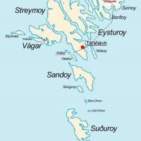
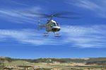
Alexander Remus presents a rescue scenario that sends a helicopter from Klaksvik heliport to locate and return a sick visitor, anchored by the FAROES3.ZIP file as a required asset. The autopilot, c…
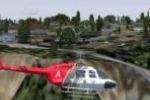
Two women are trapped in a floating bucket near Niagara Falls, and a sling-enabled Bell206B operation begins at KIAG. The scenario enforces two objectives—pickup and drop-off—driven by a Sling.0 co…
Operates as a 30 minute scenario guiding a flight from Cape Cod to a tavern on Martha's Vineyard, with extensive narration about MV and a special reward file named BlackDogRun.RWD that becomes avai…
By Dave Feeger, this helicopter emergency scenario is built with the IMM tool and comes with an IMM file for adjustment and a volcanorescue.rwd file. Vocals use Microsoft Sam, and the author marks …
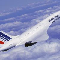
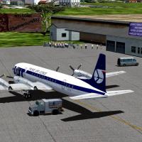
Concorde registered in Air France colors carries out a JFK to Charles de Gaulle return, taking off at sunset and arriving after sunrise. Two ZIPs are required, including Concorde Engine Fix and a C…

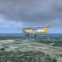
Operators pilot a Bell 206B JetRanger to move a movie star from a resort to Park City, Utah, in a mission designed for Utah_COMPLETE.ZIP add-on compatibility and usable with default terrain setups.…
Two-part add-on for the Mt. Lassen area enhances Chester Rogers Airport (O05) with smoke at a lumber mill and steam at Bumpass Hell, plus a photoreal view of the Cinder Cone. It also includes Geofa…
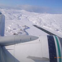
Two weather variants accompany an Adak airport scenario, presenting snow storm conditions and online weather, with the option to use one or both. It adds an Alaska Alines Boeing 737-800 upgrade tha…

The Chase centers on an unmanned aircraft that spirals out of control, demanding timely interception before danger escalates and spectacle gives way to a cautious resolution. An effects file fx_eng…