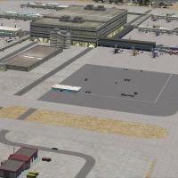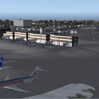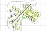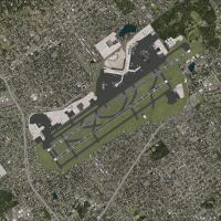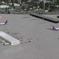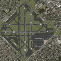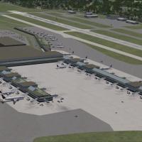
Des Moines International Airport (KDSM)
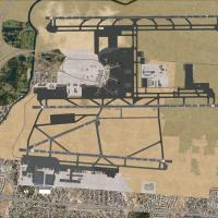
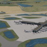
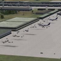
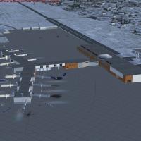
In this FSX scenery add-on, Des Moines International Airport KDSM in Iowa spans over 2,300 simulated acres, replacing default assets with FSDS-crafted terminals, accurate gate coding, updated AFCAD from ADE 1.50, Jeppesen-based approaches, segregated service roads, optional dual-runway AI, dedicated 132nd Fighter Wing apron, cargo hubs, apron floodlighting and plentiful GA parking.

- 2.35 MB

- 1.5K

- 3/5

- 1