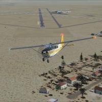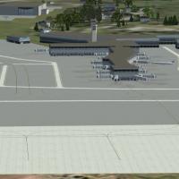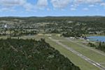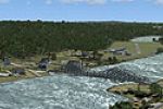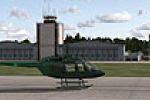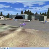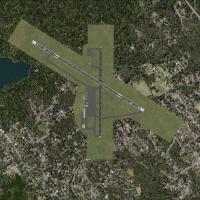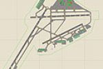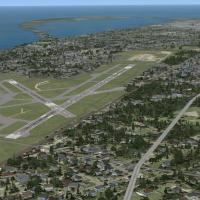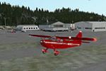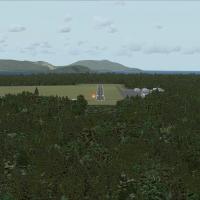
Skagit Regional Airport
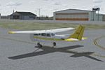
Covering Skagit Regional Airport KBVS in Washington State, this freeware Microsoft Flight Simulator X scenery refreshes apron geometry, taxiway links and runway markings, adds hangars, ramp clutter, light standards and local foliage, aligns parking spots with FAA data, stays compatible with Ultimate Terrain and FSGenesis landclass add-ons, offering Northwest flyers a realistic gateway for hops to the San Juan Islands.

- 4.4 MB

- 139

- 5/5

- 24