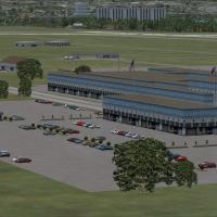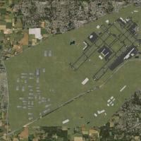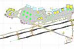
Pease Air Force Base
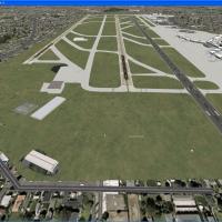
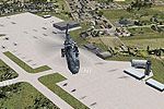
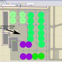
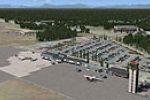
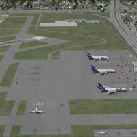
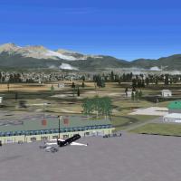
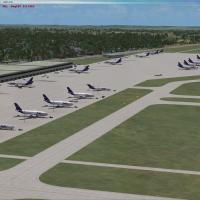
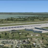
Covering Pease AFB, New Hampshire v2.8 depicts the late-1970s 509th SAC ramp with FB-111A swing-wing bombers, KC-135 tankers and T-37 trainers, delivering AI flight plans, tail-specific callsigns, alert shelters, illuminated hangars, pole-mounted apron lighting, GSE vehicles, custom textures and static models, giving FSX users a period-correct U.S. strategic airfield.

- 18.1 MB

- 1K

- 3/5

- 2