1 airports · 7 charts · cycle 1 Oct 2026
| ID | Airport | City | Charts | Rwys | Longest |
|---|---|---|---|---|---|
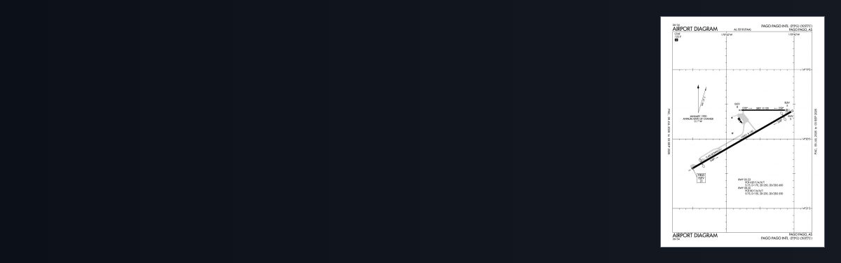
| NSTU PPG | Pago Pago Intl | PAGO PAGO | 7 | 2 | 10,001 ft |
Airport data from the FAA NASR 28-day subscription; charts from the FAA digital Terminal Procedures Publication.
These have no published instrument procedures, so there are no approach charts for them — but they appear on the VFR sectional covering the area and are flyable in a simulator.
| ID | Airfield | City | Elev | Rwys | Longest |
|---|---|---|---|---|---|
| NSFQ FAQ | Fitiuta | Fitiuta Village | 110 ft | 1 | 3,200 ft |
| NSAS Z08 | Ofu | Ofu Village | 12 ft | 1 | 1,980 ft |
2 public-use airfields in American Samoa without published instrument procedures. Source: FAA NASR 28-day subscription.
1 airports in American Samoa have published FAA instrument procedures, totalling 7 charts in the current cycle. A further 2 public-use airfields in the state have no published procedures and so have no approach charts, though they appear on the VFR sectional covering the area.
Yes. Every individual approach plate, departure, arrival and airport diagram is free with no account required — they are United States Government works, not subject to copyright in the US under 17 U.S.C. § 105. Guest downloads are speed-capped and run one at a time; PRO members download at full line speed and can take the whole state as a single archive.
They are from the FAA cycle effective 1 October 2026. Terminal procedures are reissued every 28 days and we publish each new cycle on its effective date. For flight simulation and reference only — not for real-world navigation.
FAA public-domain products, mirrored unmodified. Fly Away Simulation is not affiliated with or endorsed by the FAA. Chart licensing and terms.


