Every current FAA sectional chart, free to download in georeferenced GeoTIFF and print-ready PDF.
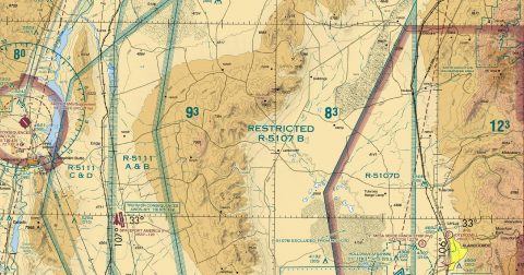 Albuquerque128.9 MB · GeoTIFF & PDF
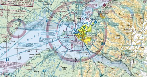 Anchorage133.3 MB · GeoTIFF & PDF
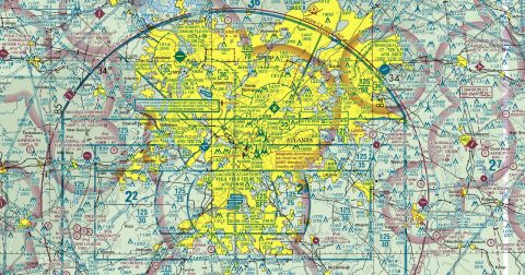 Atlanta176.6 MB · GeoTIFF & PDF
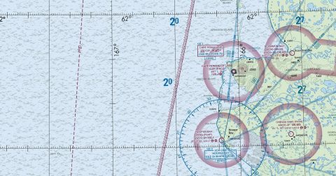 Bethel93.7 MB · GeoTIFF & PDF
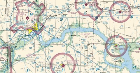 Billings104.6 MB · GeoTIFF & PDF
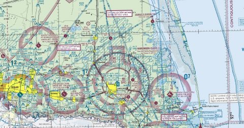 Brownsville108.4 MB · GeoTIFF & PDF
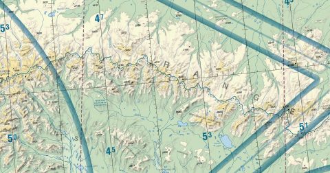 Cape Lisburne89.4 MB · GeoTIFF & PDF
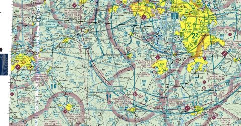 Charlotte112.1 MB · GeoTIFF & PDF
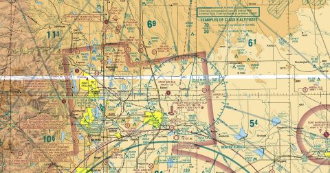 Cheyenne153.3 MB · GeoTIFF & PDF
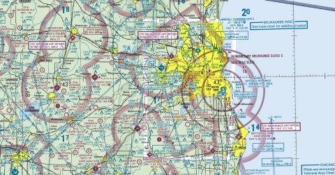 Chicago145.2 MB · GeoTIFF & PDF
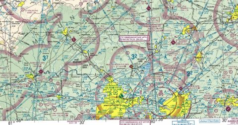 Cincinnati169.5 MB · GeoTIFF & PDF
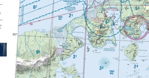 Cold Bay29.1 MB · GeoTIFF & PDF
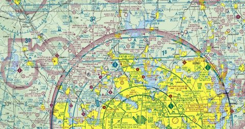 Dallas-Ft Worth127.2 MB · GeoTIFF & PDF
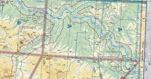 Dawson117.6 MB · GeoTIFF & PDF
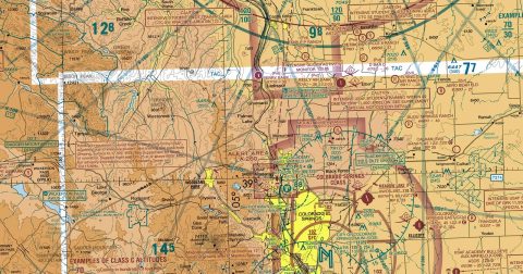 Denver159.8 MB · GeoTIFF & PDF
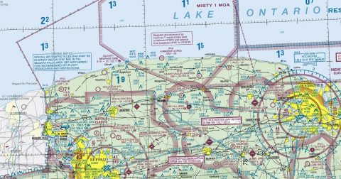 Detroit142.7 MB · GeoTIFF & PDF
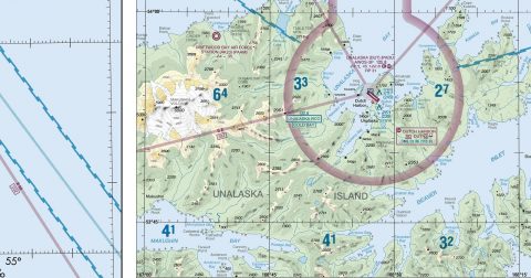 Dutch Harbor34.6 MB · GeoTIFF & PDF
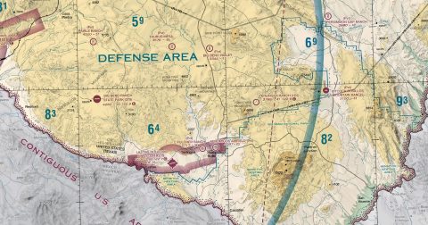 El Paso117.7 MB · GeoTIFF & PDF
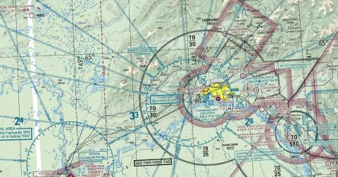 Fairbanks156.8 MB · GeoTIFF & PDF
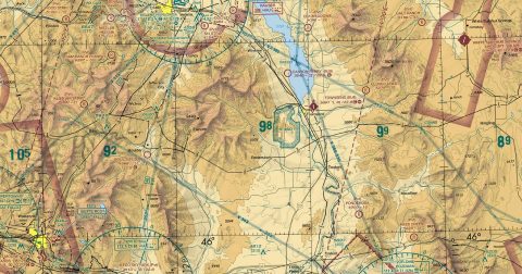 Great Falls198.2 MB · GeoTIFF & PDF
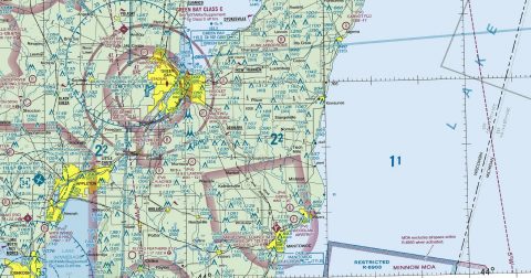 Green Bay112.7 MB · GeoTIFF & PDF
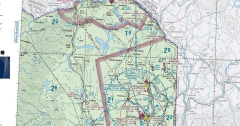 Halifax97.1 MB · GeoTIFF & PDF
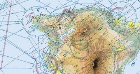 Hawaiian Islands55.1 MB · GeoTIFF & PDF
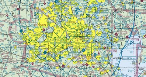 Houston102.4 MB · GeoTIFF & PDF
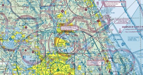 Jacksonville104.0 MB · GeoTIFF & PDF
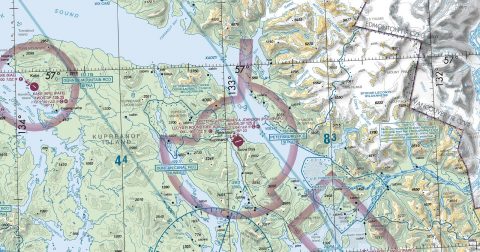 Juneau126.5 MB · GeoTIFF & PDF
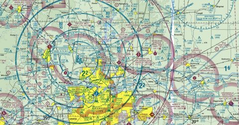 Kansas City125.0 MB · GeoTIFF & PDF
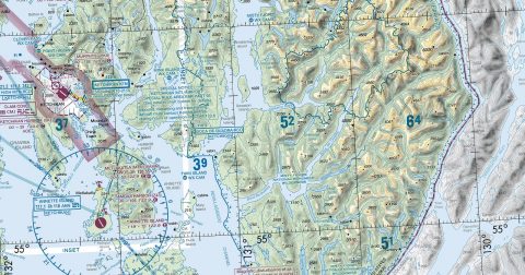 Ketchikan66.7 MB · GeoTIFF & PDF
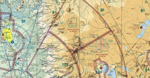 Klamath Falls163.2 MB · GeoTIFF & PDF
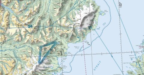 Kodiak101.7 MB · GeoTIFF & PDF
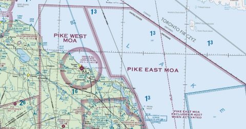 Lake Huron117.0 MB · GeoTIFF & PDF
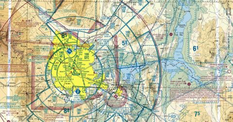 Las Vegas165.4 MB · GeoTIFF & PDF
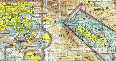 Los Angeles139.2 MB · GeoTIFF & PDF
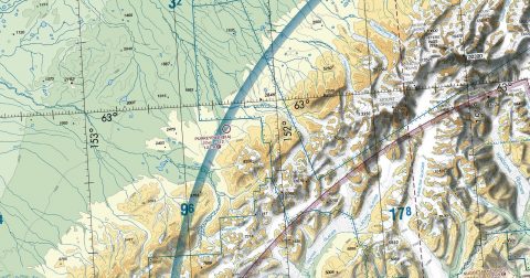 McGrath121.3 MB · GeoTIFF & PDF
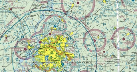 Memphis142.3 MB · GeoTIFF & PDF
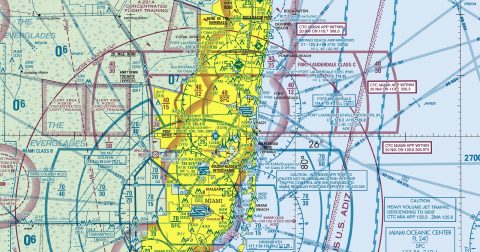 Miami75.0 MB · GeoTIFF & PDF
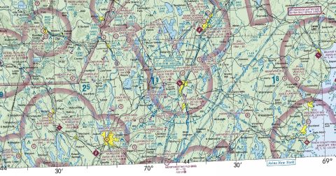 Montreal138.4 MB · GeoTIFF & PDF
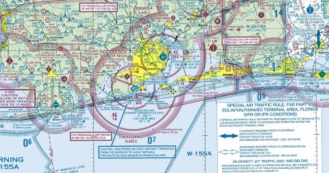 New Orleans100.1 MB · GeoTIFF & PDF
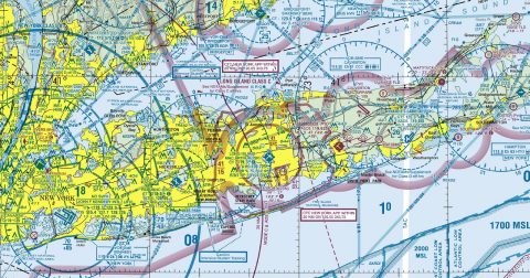 New York163.2 MB · GeoTIFF & PDF
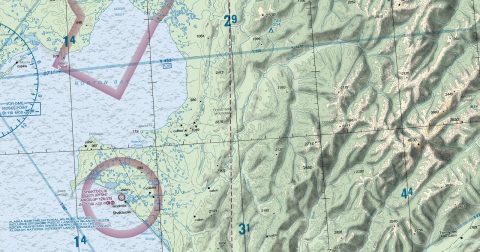 Nome129.6 MB · GeoTIFF & PDF
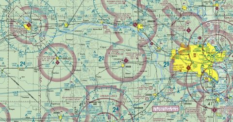 Omaha141.9 MB · GeoTIFF & PDF
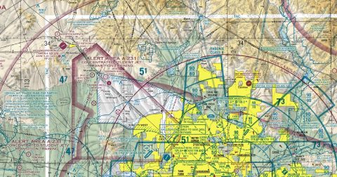 Phoenix193.8 MB · GeoTIFF & PDF
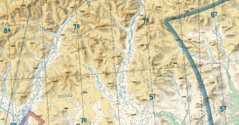 Point Barrow112.0 MB · GeoTIFF & PDF
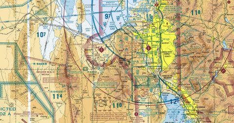 Salt Lake City179.5 MB · GeoTIFF & PDF
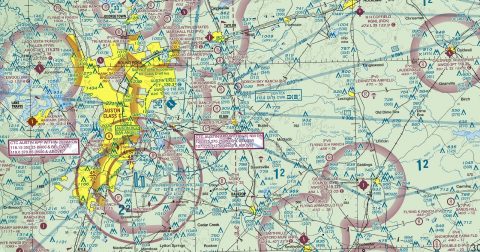 San Antonio121.3 MB · GeoTIFF & PDF
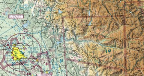 San Francisco146.5 MB · GeoTIFF & PDF
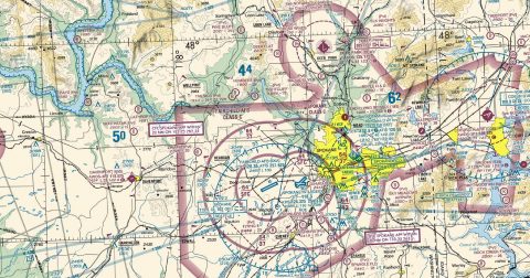 Seattle174.9 MB · GeoTIFF & PDF
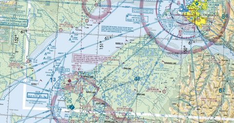 Seward79.9 MB · GeoTIFF & PDF
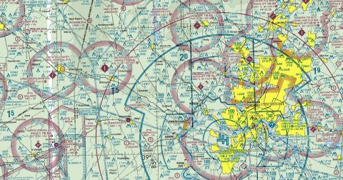 St Louis145.0 MB · GeoTIFF & PDF
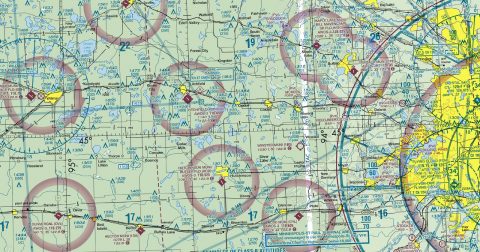 Twin Cities124.2 MB · GeoTIFF & PDF
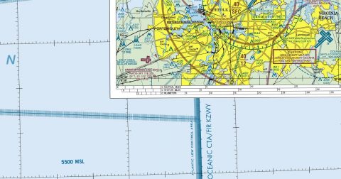 Washington111.8 MB · GeoTIFF & PDF
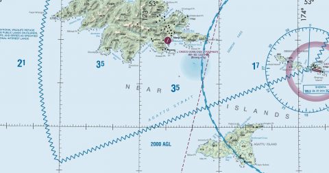 Western Aleutian Islands29.3 MB · GeoTIFF & PDF
 Wichita104.5 MB · GeoTIFF & PDF
Working through several charts? Each one runs to tens or hundreds of megabytes. Guest downloads are rate limited; PRO members get full-speed, unthrottled downloads across every chart and all 24,000+ add-ons.
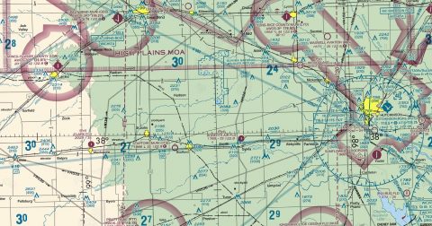
Go PROSectional charts are the primary VFR navigation charts for the United States, drawn at 1:500,000 — about seven nautical miles to the inch. Each sheet covers a slice of the country and shows the things you navigate by when flying visually: terrain and spot elevations, airports and their runway layouts, controlled and special-use airspace, navaids and their frequencies, obstructions, and visual landmarks such as rivers, roads and towns.
They are the chart a pilot plans a cross-country flight on, and in a simulator they do the same job — a route planned on the real sectional flies the same way, because the airspace and terrain in the sim are modelled from the same world. The 53 sheets tile the whole country with generous overlap, so a route running off one edge continues on the next.
Yes, all 53 of them, with no account required. FAA charts are United States Government works and are not subject to copyright protection in the US under 17 U.S.C. § 105. Guest downloads are speed-capped; PRO members download at full line speed.
Every 56 days. The current edition took effect on 8 October 2026 and is superseded on 8 October 2026. We fetch and publish each new edition on its effective date.
Every chart comes as both a georeferenced GeoTIFF — 300 dpi, with a world file and FGDC metadata, for loading into moving-map software — and a print-ready PDF with no georeferencing, for printing or reading on screen.
FAA public-domain products, mirrored unmodified. Fly Away Simulation is not affiliated with or endorsed by the FAA. Chart licensing and terms.

