Every current FAA terminal area chart, free to download in georeferenced GeoTIFF and print-ready PDF.
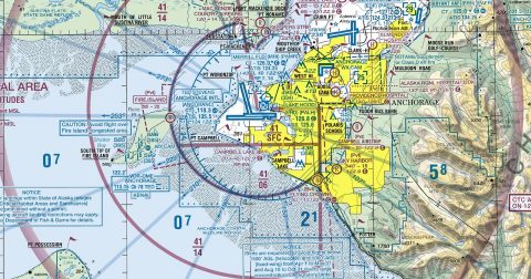 Anchorage-Fairbanks95.9 MB · GeoTIFF & PDF
 Atlanta67.3 MB · GeoTIFF & PDF
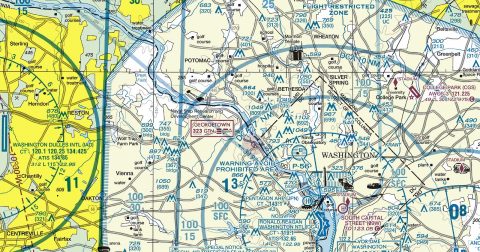 Baltimore-Washington94.5 MB · GeoTIFF & PDF
 Boston45.7 MB · GeoTIFF & PDF
 Charlotte52.7 MB · GeoTIFF & PDF
 Chicago33.8 MB · GeoTIFF & PDF
 Cincinnati57.1 MB · GeoTIFF & PDF
 Cleveland23.7 MB · GeoTIFF & PDF
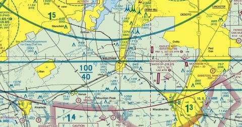 Dallas-Ft Worth66.1 MB · GeoTIFF & PDF
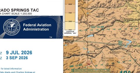 Denver100.0 MB · GeoTIFF & PDF
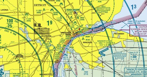 Detroit45.4 MB · GeoTIFF & PDF
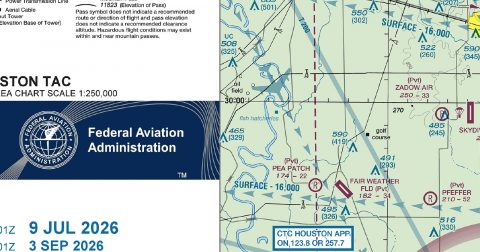 Houston50.7 MB · GeoTIFF & PDF
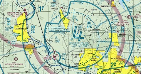 Kansas City34.2 MB · GeoTIFF & PDF
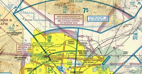 Las Vegas55.5 MB · GeoTIFF & PDF
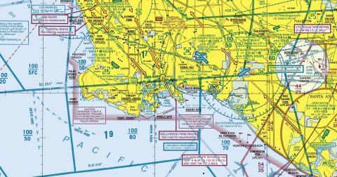 Los Angeles69.8 MB · GeoTIFF & PDF
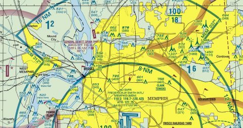 Memphis29.3 MB · GeoTIFF & PDF
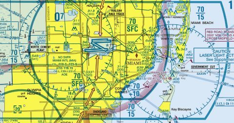 Miami56.1 MB · GeoTIFF & PDF
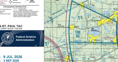 Minneapolis-St Paul26.6 MB · GeoTIFF & PDF
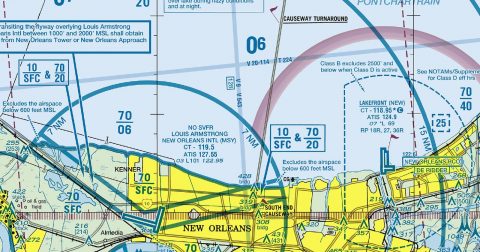 New Orleans42.9 MB · GeoTIFF & PDF
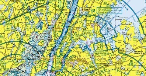 New York48.2 MB · GeoTIFF & PDF
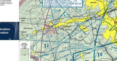 Philadelphia37.0 MB · GeoTIFF & PDF
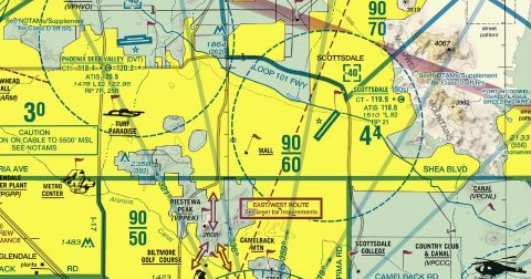 Phoenix55.5 MB · GeoTIFF & PDF
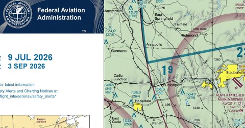 Pittsburgh36.0 MB · GeoTIFF & PDF
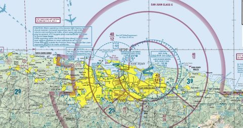 Puerto Rico-VI42.9 MB · GeoTIFF & PDF
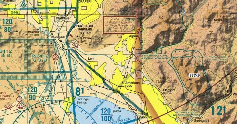 Salt Lake City59.7 MB · GeoTIFF & PDF
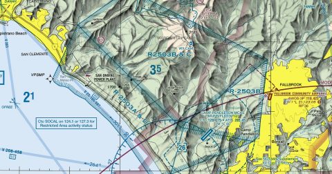 San Diego51.7 MB · GeoTIFF & PDF
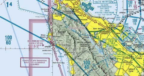 San Francisco60.4 MB · GeoTIFF & PDF
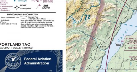 Seattle73.2 MB · GeoTIFF & PDF
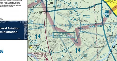 St Louis39.7 MB · GeoTIFF & PDF
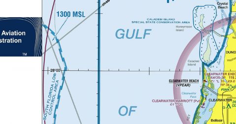 Tampa-Orlando96.5 MB · GeoTIFF & PDF
Working through several charts? Each one runs to tens or hundreds of megabytes. Guest downloads are rate limited; PRO members get full-speed, unthrottled downloads across every chart and all 24,000+ add-ons.
Go PROTerminal area charts zoom in on the busiest airspace in the country, drawn at 1:250,000 — twice the scale of a sectional. They exist because Class B airspace around a major airport is too intricate to read at sectional scale: the shelves, floors and ceilings that stack above one another need the extra room.
If you are flying VFR anywhere near a Class B airport, the TAC is what keeps you out of it — or shows you how to transit it legally. Each of the 30 sheets covers one metropolitan area and carries the VFR flyways, reporting points and transition routes that a sectional has no space for.
Yes, all 30 of them, with no account required. FAA charts are United States Government works and are not subject to copyright protection in the US under 17 U.S.C. § 105. Guest downloads are speed-capped; PRO members download at full line speed.
Every 56 days. The current edition took effect on 8 October 2026 and is superseded on 8 October 2026. We fetch and publish each new edition on its effective date.
Every chart comes as both a georeferenced GeoTIFF — 300 dpi, with a world file and FGDC metadata, for loading into moving-map software — and a print-ready PDF with no georeferencing, for printing or reading on screen.
FAA public-domain products, mirrored unmodified. Fly Away Simulation is not affiliated with or endorsed by the FAA. Chart licensing and terms.

