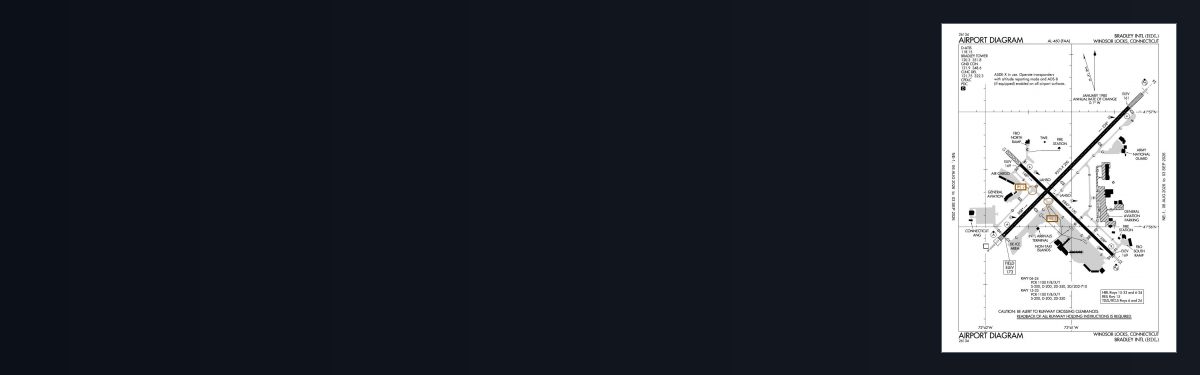
12 airports · 106 charts · cycle 1 Oct 2026
| ID | Airport | City | Charts | Rwys | Longest |
|---|---|---|---|---|---|
| KBDL BDL | Bradley Intl | WINDSOR LOCKS | 21 | 2 | 9,510 ft |
| KDXR DXR | Danbury Muni | DANBURY | 12 | 2 | 4,421 ft |
| KHVN HVN | Tweed/New Haven | NEW HAVEN | 10 | 1 | 5,600 ft |
| KGON GON | Groton-New London | GROTON (NEW LONDON) | 12 | 3 | 5,000 ft |
| KHFD HFD | Hartford-Brainard | HARTFORD | 10 | 5 | 4,417 ft |
| KBDR BDR | Bridgeport/Sikorsky | BRIDGEPORT | 12 | 2 | 4,759 ft |
| KOXC OXC | Waterbury-Oxford | OXFORD | 9 | 1 | 5,801 ft |
| KSNC SNC | Chester | CHESTER | 6 | 1 | 2,722 ft |
| KMMK MMK | Meriden Markham Muni | MERIDEN | 4 | 1 | 3,100 ft |
| KIJD IJD | Windham | WILLIMANTIC | 4 | 2 | 4,271 ft |
| 4B8 | Robertson Fld | PLAINVILLE | 4 | 2 | 3,666 ft |
| KLZD LZD | Danielson | DANIELSON | 2 | 1 | 2,700 ft |
Airport data from the FAA NASR 28-day subscription; charts from the FAA digital Terminal Procedures Publication.
Sectional and terminal area charts whose coverage includes airports in Connecticut — free GeoTIFF and PDF:
These have no published instrument procedures, so there are no approach charts for them — but they appear on the VFR sectional covering the area and are flyable in a simulator.
| ID | Airfield | City | Elev | Rwys | Longest |
|---|---|---|---|---|---|
| 42B | Goodspeed | East Haddam | 9 ft | 2 | 4,500 ft |
| 7B6 | Skylark Airpark | Warehouse Point | 120 ft | 1 | 3,242 ft |
| 11N | Candlelight Farms | New Milford | 675 ft | 1 | 2,900 ft |
| 4B9 | Simsbury | Simsbury | 195 ft | 1 | 2,205 ft |
| N41 | Mount Tobe | Waterbury | 850 ft | 2 | 2,005 ft |
| 9B8 | Salmon River Airfield | Marlborough | 540 ft | 1 | 2,000 ft |
| 7B9 | Ellington | Ellington | 253 ft | 1 | 1,800 ft |
| C44 | Toutant | Putnam | 770 ft | 1 | 1,756 ft |
8 public-use airfields in Connecticut without published instrument procedures. Source: FAA NASR 28-day subscription.
12 airports in Connecticut have published FAA instrument procedures, totalling 106 charts in the current cycle. A further 8 public-use airfields in the state have no published procedures and so have no approach charts, though they appear on the VFR sectional covering the area.
Yes. Every individual approach plate, departure, arrival and airport diagram is free with no account required — they are United States Government works, not subject to copyright in the US under 17 U.S.C. § 105. Guest downloads are speed-capped and run one at a time; PRO members download at full line speed and can take the whole state as a single archive.
They are from the FAA cycle effective 1 October 2026. Terminal procedures are reissued every 28 days and we publish each new cycle on its effective date. For flight simulation and reference only — not for real-world navigation.
FAA public-domain products, mirrored unmodified. Fly Away Simulation is not affiliated with or endorsed by the FAA. Chart licensing and terms.


