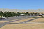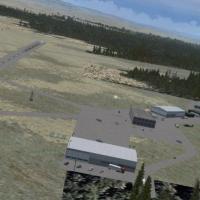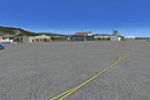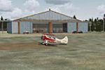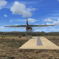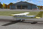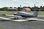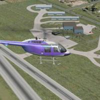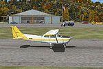
Sidney Municipal Airport
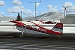
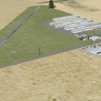
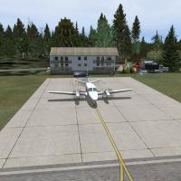
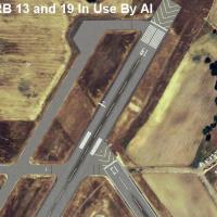
Sidney Municipal Airport N23 receives a grounded makeover for FSX, presenting corrected taxiway geometry, revised apron markings, realistic GA parking nodes, and discreet static light aircraft; updated hangar footprints, maintenance sheds, and airport vehicles align with AirNav data and satellite orthos, suiting VFR hops along New York’s I-88 corridor.

- 4.89 KB

- 88

- 2/5