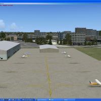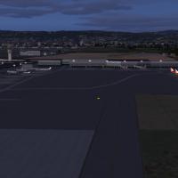
AFCAD Enhancement For KOAK
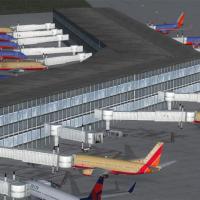
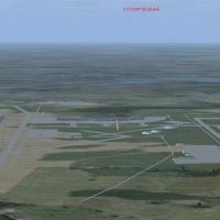
Covering California’s Metropolitan Oakland International Airport (KOAK), this FSX AFCAD upgrade redraws taxiways, ground vehicle routes and apron geometry, adds a seven-gate Terminal 2 expansion, allocates airline-specific parking, supplies overflow cargo bays, refines runway lighting with blastpads, rebuilds ILS and missed-approach coding, and supports optional Jim Dhaenens night light-poles while remaining compatible with UTX USA.

- 1.66 MB

- 474

- 5