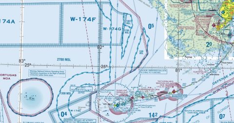
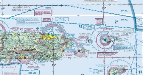
Every current FAA caribbean chart, free to download in georeferenced GeoTIFF and print-ready PDF.

Working through several charts? Each one runs to tens or hundreds of megabytes. Guest downloads are rate limited; PRO members get full-speed, unthrottled downloads across every chart and all 24,000+ add-ons.
Go PROThe two Caribbean sheets extend VFR coverage beyond the continental United States to Puerto Rico, the US Virgin Islands and the surrounding airspace, at the same 1:500,000 scale as a sectional. They carry the same airspace, terrain and navaid detail, adapted for an island environment where the terrain is water and the navigation is often between islands rather than across country.
Yes, all 2 of them, with no account required. FAA charts are United States Government works and are not subject to copyright protection in the US under 17 U.S.C. § 105. Guest downloads are speed-capped; PRO members download at full line speed.
Every 56 days. The current edition took effect on 10 October 2026 and is superseded on 10 October 2026. We fetch and publish each new edition on its effective date.
Every chart comes as both a georeferenced GeoTIFF — 300 dpi, with a world file and FGDC metadata, for loading into moving-map software — and a print-ready PDF with no georeferencing, for printing or reading on screen.
FAA public-domain products, mirrored unmodified. Fly Away Simulation is not affiliated with or endorsed by the FAA. Chart licensing and terms.