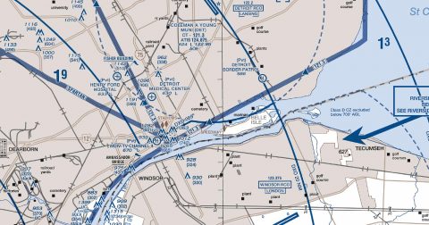
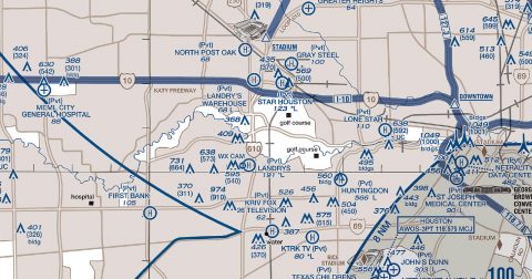
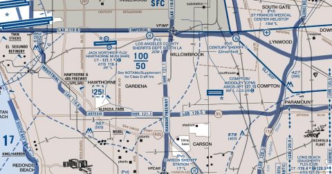
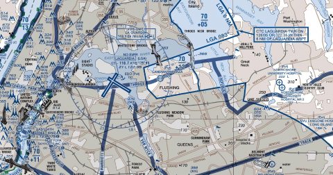
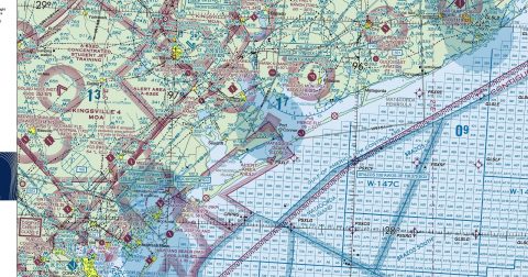
Every current FAA helicopter route chart, free to download in georeferenced GeoTIFF and print-ready PDF.

Working through several charts? Each one runs to tens or hundreds of megabytes. Guest downloads are rate limited; PRO members get full-speed, unthrottled downloads across every chart and all 24,000+ add-ons.
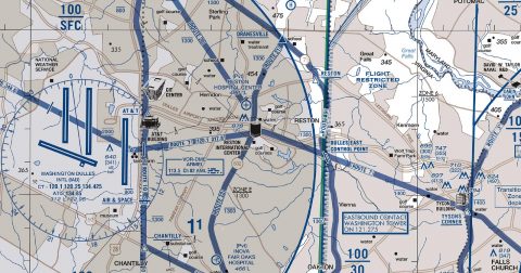
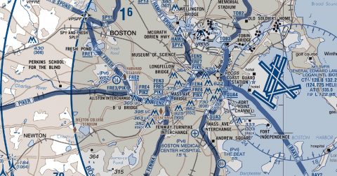
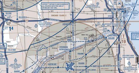
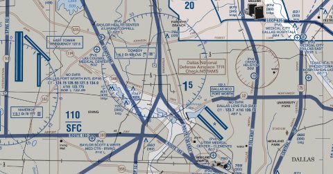
Go PROHelicopter route charts cover nine metropolitan areas at large scale, showing the published helicopter routes, reporting points and landing sites that fixed-wing charts leave out. They depict the low-level corridors helicopters actually use through congested airspace, along with heliports, hospital pads and the visual landmarks used to report position.
For simulator flying they are the chart that makes urban helicopter operations make sense — the routes follow rivers, motorways and rail lines for a reason, and the chart shows which.
Yes, all 9 of them, with no account required. FAA charts are United States Government works and are not subject to copyright protection in the US under 17 U.S.C. § 105. Guest downloads are speed-capped; PRO members download at full line speed.
Every 56 days. The current edition took effect on 10 October 2026 and is superseded on 10 October 2026. We fetch and publish each new edition on its effective date.
Every chart comes as both a georeferenced GeoTIFF — 300 dpi, with a world file and FGDC metadata, for loading into moving-map software — and a print-ready PDF with no georeferencing, for printing or reading on screen.
FAA public-domain products, mirrored unmodified. Fly Away Simulation is not affiliated with or endorsed by the FAA. Chart licensing and terms.