Download free United States of America scenery for Microsoft Flight Simulator X. This hand-picked collection brings together enhanced and photoreal airports, detailed cities, terrain and landmarks across United States of America — from major international hubs to smaller regional airfields. Every file is free to download, checked by our team, and updated as new releases land.
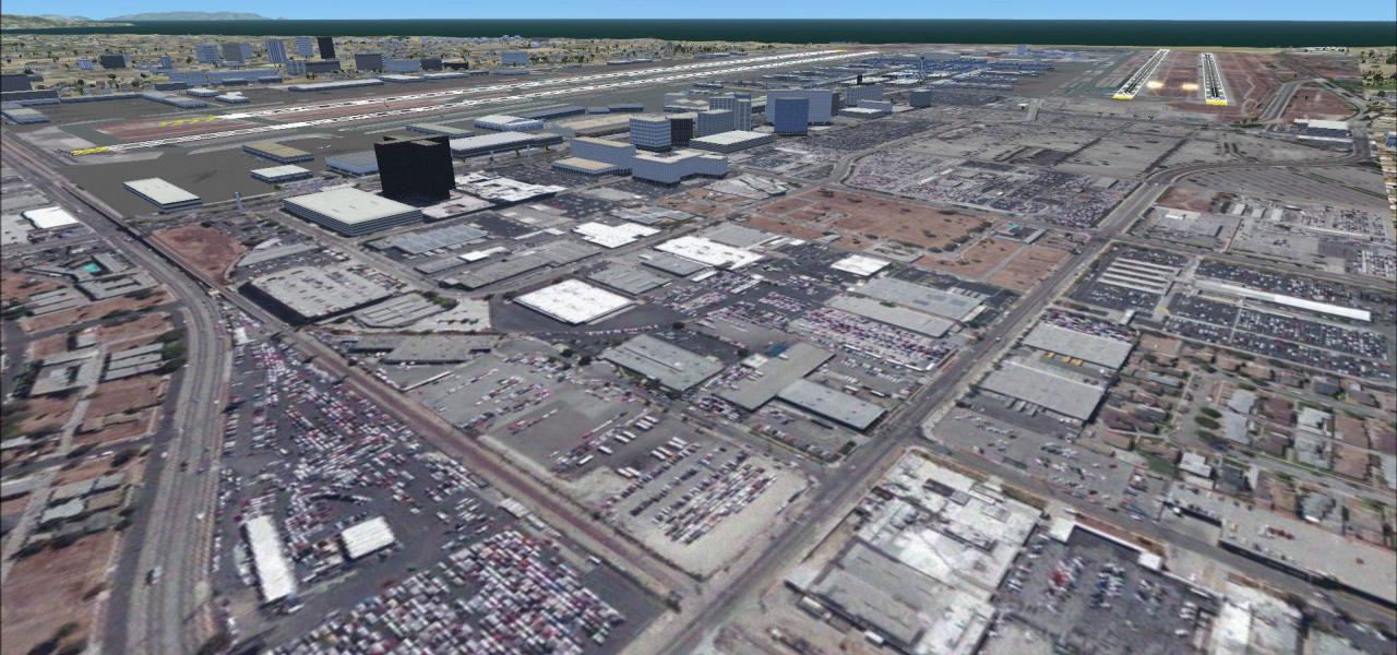
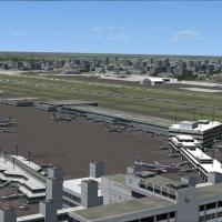
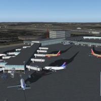
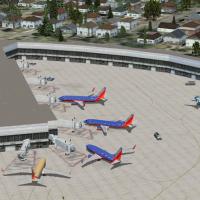
KLAX v3 for FSX flight-sim refreshes the Los Angeles International aviation hub with resized terminals, an overhauled Tom Bradley complex, high-resolution photoreal ground textures keyed to satelli…
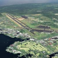
Hawaii Complete Photoreal & Airports Scenery brings statewide orthoimagery, coastal water-masking, HD mesh and thirteen reworked airfields—HNL, ITO, LIH, LNY, OGG, MKK among them—to FSX, FSX:SE and…
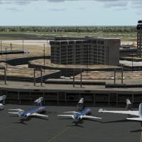
Quietly adds the missing KDFW Terminal D to Microsoft Flight Simulator X, built in Gmax with animated jetways, refreshed AFCAD layout, 200-plus coded parking stands, A380-class gate, expanded cargo…
Covering KMIA for Microsoft Flight Simulator X, this scenery addon revises taxiway geometry, aligns gate assignments with current FAA charts, renders the lengthened Terminal D, and designates cargo…
Spanning the United States and its territories, the Mega AFCAD Pack overhauls 550+ default airports with revised taxiway geometry, realistic gate and parking allocations, corrected runway designato…
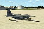
Seymour Johnson AFB (KGSB) for FSX reshapes the Goldsboro, NC fighter base with revised geo-referenced runways, military-specific ramps, AI-ready cargo and combat stands, a purpose-built fire stati…
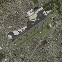
Serving Microsoft Flight Simulator X pilots, this JFK (KJFK) addon scenery layers high-resolution ground imagery via ADE and SBuilderX, reflects the post-2011 wider 31R/13L Bay Runway, incorporates…
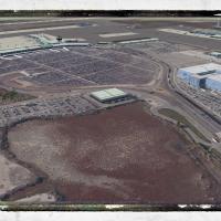
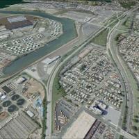
KOAK Oakland International Airport for FSX reshapes the Bay-Area hub with photoreal terrain, freshly modeled terminals, cargo/FedEx complex, gate-specific parking and revised landclass; ADE and SBu…
Revised Elmendorf AFB (PAED) freeware scenery for Microsoft Flight Simulator X updates Anchorage’s strategic airfield with precise AFCAD stands, re-profiled taxiway geometry, new fire-house assets,…
San Francisco International Airport KSFO v2 scenery add-on for Microsoft Flight Simulator X upgrades the stock field with operational crosswind runways, updated stand numbering, Terminal 2 closure,…
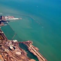
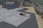
Chicago’s historic Meigs Field KCGX is reinstated for Microsoft Flight Simulator X in this United States scenery add-on, recreating the lakefront peninsula with a 3,900-foot asphalt runway, four he…
Washington-scope flyers gain a refreshed FSX rendition of KDCA 2011, featuring a rebuilt AFCAD with accurate gate coding, re-profiled taxiways, frame-efficient apron textures, and the seldom-modell…
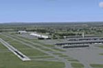
Updated AFCAD for KIAD integrates the recent 1L/19R runway addition and revised headings reflecting current magnetic variation, delivering a four-strip Washington Dulles International layout tailor…
Low-key scenery enhancement for FSX brings Bradley International Airport (KBDL), Windsor Locks, Connecticut up to current charts, extending A-Concourse with functional jetways, revised gate allocat…
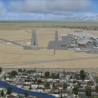
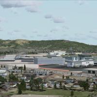
This Flight Simulator X scenery by Ray Smith redraws KSLC Salt Lake City International for the 2020 master plan, adding South Terminal A, North Concourse B, realigned runway 17/35, optional crosswi…
FSX fliers seeking an up-to-date Chicago Midway Airport (KMDW) in Illinois will find this scenery upgrade for Microsoft Flight Simulator X adds six animated jetways, airline-coded parking via revis…

This FSX-native Florida package revises AFCAD layouts for Tampa, Orlando, Daytona and nine additional fields, realigning aprons, taxiways and boundary fences to match Ultimate Terrain X USA vector …

Oshkosh’s KOSH field gains static crowds, bleachers and parked show aircraft with this FSX Acceleration-only scenery add-on, recreating the busy AirVenture environment without hampering frame rates…
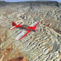
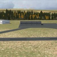
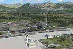
Wyoming photoreal package supplies statewide 1-metre orthoimagery, 10 m elevation mesh and refined landclass, rendering Jackson Hole Airport, Grand Teton, Wind River Range, Bighorn Plateau and Yell…
This Microsoft Flight Simulator X Seattle–Tacoma International Airport (KSEA) add-on updates runway designations to 16C/34C, shifts the entire pavement mesh to FAA-verified coordinates, polishes ta…