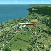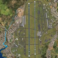
Cincinnati/Northern Kentucky International Airport
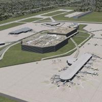
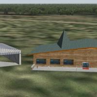
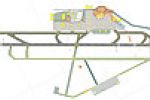
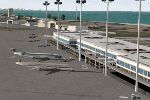
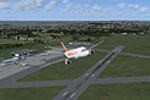
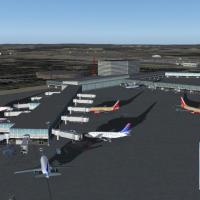
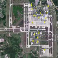
KCVG presents Terminals 1–3 with parking structures, skywalks, and annexes, along with the Delta hangar, DHL cargo facility, Comair headquarters, and a Doubletree hotel. It relies on ez_1.zip, rw12l112.zip, rw12l212.zip, rw12l312.zip, CalClassic Core, Dan French CoreLibrariesVol1, and dlf_lib_KCVG to render the scene, with an interior for Terminal 3 Concourse A.

- United States of America

- 7.28 MB

- 2.7K

- 2