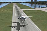
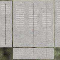
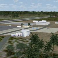
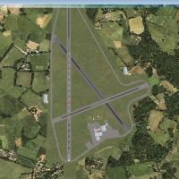
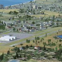
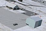
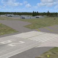
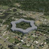
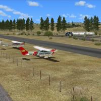
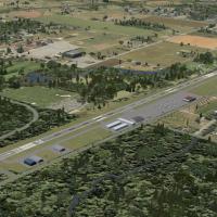
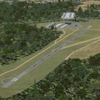
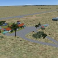
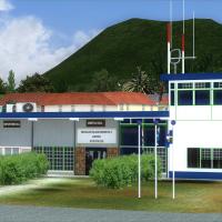
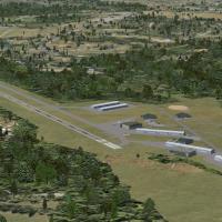
Version 1.01 replaces the original trees and vegetation to fix SP-2 transparency issues, and uses a 1 meter per pixel resample across the KNZY footprint precisely. KNZY parking layout is defined pr…
Two BGL files, OIII071102.bgl and OIII071101.bgl, address parking and taxiway issues at OIII, and the update includes additional buildings to expand the layout around the terminal area, offering a …

Raimondo Taburet delivers a 38 m resolution terrain mesh covering the entire Mexican territory, designed with the Inegi Elevation Model. The data splits into two files named INEGI38X.ZIP and INE38G…

Gustavo Luna models v1.5 for Boa Vista International Airport in Brazil, identified by the SBBV registration, and distributes the work as freeware linked to the SBBV - Boa Vista folder, replacing an…

Rocks worldwide transition from 1 meter to a 50 centimeter scale, encompassing all seasons. By Aime Leclercq, the work delivers a unified rock appearance and notes compatibility with a summer 30 ce…

Anthony Dyer creates version 2 landclass data for Scotland, spanning the Highland and Grampian regions and the Hebrides, Orkneys and Shetland Islands, derived by hand from background satellite phot…

An expansive layout centers on the Chernobyl NPP as it appears from 1997 to 2005, with a custom built reactor building and extensive landclass textures for the surrounding area. NPP6 uses default o…

Lee Marrow leads a refined rebuild of Luanda’s international airport facilities, adding new parking stands, revised taxi routes, and expanded ramp objects to reflect busy ground operations. Night l…

New autogen forest and water features appear, along with a beach, streets, and a river, offered in three altitude-sharpness-raster options, all aligned to air photos. Rostock-Laage ETNL features st…

Greenland hosts a northern installation 750 miles north of the Arctic Circle, associated with the U.S. Armed Forces. It includes nine parking areas with added closed taxiways, and a single BGL file…

The KSFB facility in Florida undergoes an overhaul that replaces the default layout, with gates correctly assigned and a 6000-plus-foot extension to runway 9R-27L that includes an ILS, by Ryan Cobb…
Fuhlsbuttel Airport (EDDH) in Hamburg, Germany, refines taxiways, the terminal, and ground surfaces. Real AI-Traffic parks include Air France at Terminal 1 and Lufthansa at Terminal 2, and it is co…

By Shanard Letang, SVVA in Valencia, Venezuela serves as a hub for Aserca Airlines, Aeropostal and Avior Airlines, with domestic and international flights across the Caribbean, Colombia, Europe and…

Aeroworx presents enhanced South African sites around Theewaterskloof dam, Brandvlei dam, Krugersdrift dam, Kimberley Town, Big diamond holes, and Dealesville, using default and Gmax objects. Creat…

Gary Keen presents fixes that address runway obstacles and visual faults at airports or in flight, with before-and-after photos illustrating the results. Bgl files accompany the corrections, reflec…

Angel Falls sits in Canaima National Park, Venezuela, and stands as the world’s highest waterfall at 979 meters, a feature documented in 1933 by American pilot Jimmie Angel, with no mesh included b…

Jim Cook delivers a refined upgrade for Shaw AFB (KSSC) in Sumter, South Carolina, adding Military_Combat and Military_Cargo parking, relocating hangars, a fire station, and static fuel trucks to h…

Jim Cook delivers a reworked Hill AFB layout that designates Military_Cargo and Military_Combat parking and adds a fire station. It uses two files, AFX_KHIF_JC.bgl and KHIF_JC.bgl, to implement the…

SVJM in Venezuela presents a photo-terrain layout based on satellite imagery for a small regional airfield serving the Central Llanos. It includes terminal buildings and hangars with realism that c…
MMMY in Monterrey, Mexico, receives a fix that corrects an ILS alignment problem at the field, addressing approach guidance with a FlyMex add-on. The adjustment centers on the ILS, and the provider…