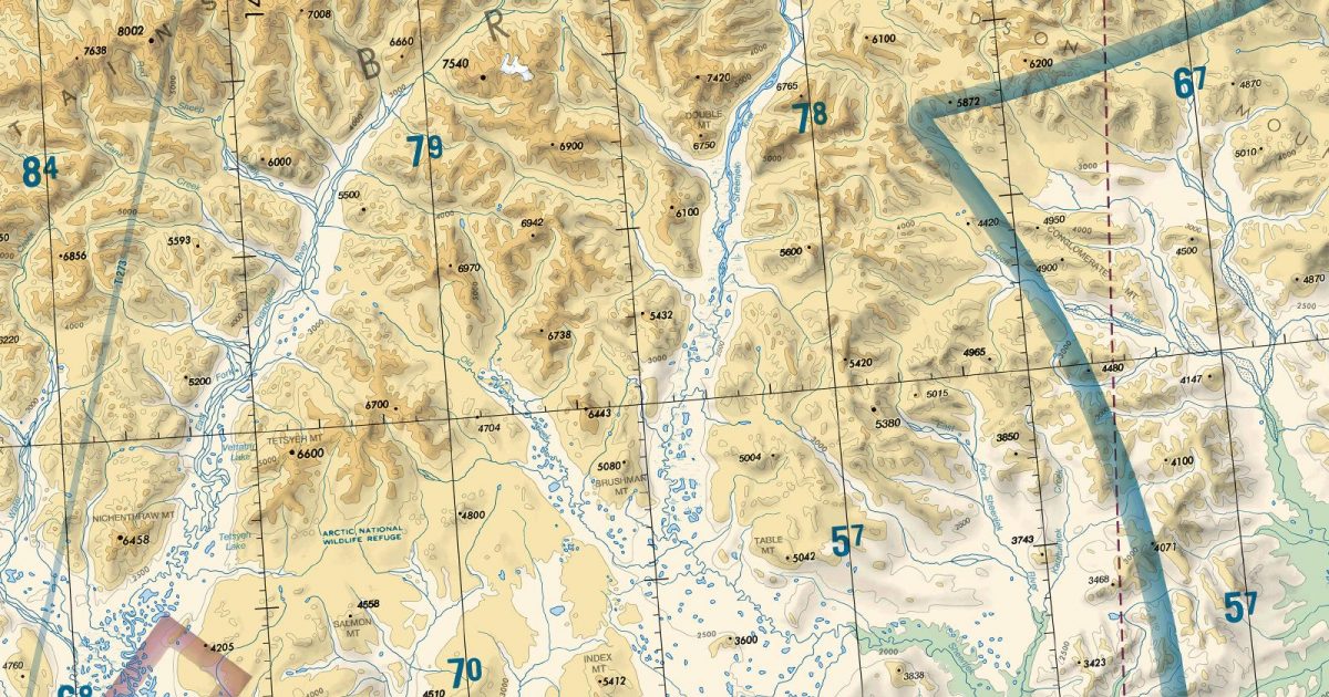
Official FAA digital chart — free GeoTIFF and PDF download
| Format | What you get | Size | |
|---|---|---|---|
| GeoTIFF | Georeferenced raster at 300 dpi, with world file and FGDC metadata | 51.4 MB | Download |
| Print-ready chart, no georeferencing | 112.0 MB | Download |
Not for navigation. For flight simulation and reference use only. Check the effective dates above, and obtain official charts from the FAA for real-world flight.

These are big files. This chart alone is 112.0 MB. Guest downloads are rate limited; PRO members get full-speed, unthrottled downloads across every chart and all 24,000+ add-ons in the library.
Go PROFrom Point Barrow east towards the Canadian frontier, this sheet spans Alaska’s exposed Arctic coast and the Beaufort Sea. Offshore water, barrier islands, lagoons and broad river deltas give way inland to treeless tundra and the foothills of the Brooks Range. Farther south, the range introduces a markedly more rugged landscape, making the sheet a compact view of the transition from Arctic coastal plain to mountain terrain.
Westbound routes continue onto Cape Lisburne or Nome, depending on their track, while Fairbanks adjoins to the south-west for journeys crossing beyond the Brooks Range. Dawson takes over at the eastern edge, covering onward travel towards northern Yukon. Together, these joins make Point Barrow the central sheet for routes following Alaska’s North Slope or turning between the Arctic coast and the interior.
| ID | Airport | City | Elev | Rwys | Longest |
|---|---|---|---|---|---|
| PABR BRW | Wiley Post-Will Rogers Meml | UTQIAGVIK, AK | 48 ft | 1 | 7,100 ft |
| PASC SCC | Deadhorse | DEADHORSE, AK | 67 ft | 1 | 6,500 ft |
| PAUM UMT | Umiat | UMIAT, AK | 267 ft | 1 | 5,583 ft |
| RK1 | Kavik Strip | KAVIK RIVER, AK | 668 ft | 1 | 5,500 ft |
| PAGB GBH | Galbraith Lake | GALBRAITH LAKE, AK | 2,662 ft | 1 | 5,182 ft |
| CYOC | Old Crow | OLD CROW | 821 ft | 1 | 5,019 ft |
| PAKP AKP | Anaktuvuk Pass | ANAKTUVUK PASS, AK | 2,106 ft | 1 | 4,800 ft |
| PAQT AQT | Nuiqsut | NUIQSUT, AK | 45 ft | 1 | 4,589 ft |
| PARC ARC | Arctic Village | ARCTIC VILLAGE, AK | 2,092 ft | 1 | 4,500 ft |
| PABA BTI | Barter Island | BARTER ISLAND, AK | 55 ft | 1 | 4,500 ft |
| PATQ ATK | Atqasuk Edward Burnell Sr Meml | ATQASUK, AK | 101 ft | 1 | 4,370 ft |
| PALR WCR | Chandalar Lake | CHANDALAR LAKE, AK | 1,920 ft | 1 | 3,000 ft |
| PAAG 5CD | Chandalar Shelf | CHANDALAR CAMP, AK | 3,222 ft | 1 | 2,529 ft |
13 public-use airports within this chart's coverage, ordered by runway length. A further 9 private and restricted landing facilities are not listed. Source: FAA NASR 28-day subscription.
Approach plates and airport diagrams for every airport in the states this sheet covers:
It spans 67.4°N to 72.3°N and 159.6°W to 139.1°W. Airports on the sheet fall within Alaska. The full list of public-use airports within its coverage is on this page.
Take the GeoTIFF if you are loading the chart into moving-map software or a flight planner — it is georeferenced, so the software can place it correctly on a map, and it ships with a world file and FGDC metadata at 300 dpi (51.4 MB). Take the PDF to print it or read it on a second screen (112.0 MB); it is the same chart without georeferencing.
This is the FAA edition effective 3 September 2026, which is superseded on 29 October 2026. Visual charts are reissued every 56 days and we publish each new edition on the day it takes effect. It is for flight simulation and reference only — not for real-world navigation.
Cape Lisburne to the west, Fairbanks to the south-west, Dawson to the east and Nome to the west. Each is linked from this page, so a route running off one edge can be continued on the next sheet.
Yes, with no account required. FAA charts are United States Government works and are not subject to copyright protection in the US under 17 U.S.C. § 105. Guest downloads are speed-capped, so a sheet this size takes a while; PRO members download at full line speed and can take the whole family as one archive.

FAA public-domain products, mirrored unmodified. Fly Away Simulation is not affiliated with or endorsed by the FAA. Chart licensing and terms.

