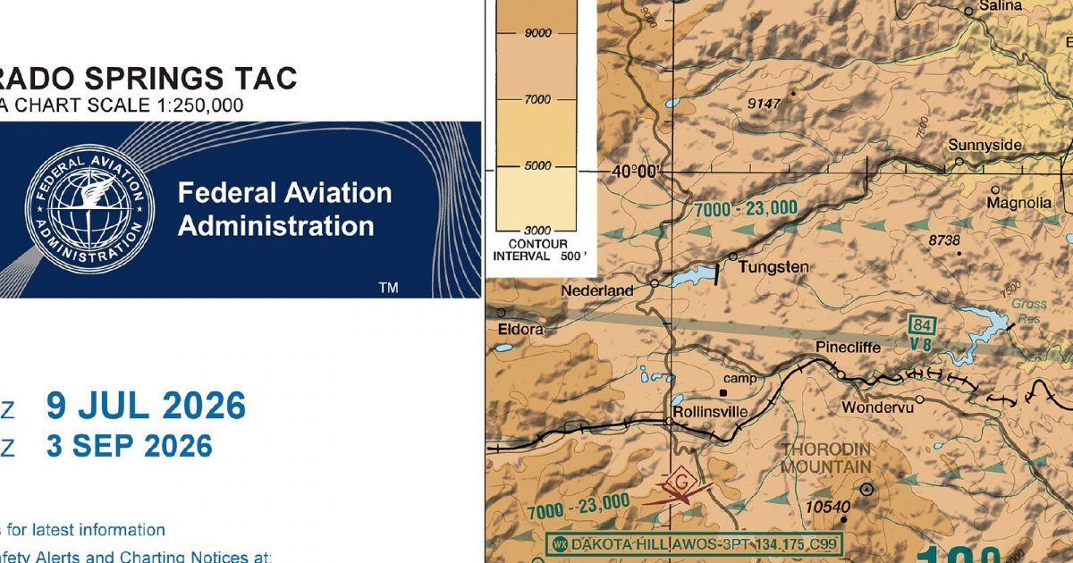
Official FAA digital chart — free GeoTIFF and PDF download
| Format | What you get | Size | |
|---|---|---|---|
| GeoTIFF | Georeferenced raster at 300 dpi, with world file and FGDC metadata | 49.4 MB | Download |
| Print-ready chart, no georeferencing | 99.9 MB | Download |
Not for navigation. For flight simulation and reference use only. Check the effective dates above, and obtain official charts from the FAA for real-world flight.

These are big files. This chart alone is 99.9 MB. Guest downloads are rate limited; PRO members get full-speed, unthrottled downloads across every chart and all 24,000+ add-ons in the library.
Go PRODenver sits near the centre of a sheet stretching from the high Rockies and Front Range foothills east across the metropolitan corridor to the open plains around Limon. Its north–south reach runs from the Palmer Divide to beyond Fort Collins. Few terminal areas show such a sharp geographical transition: rugged ridges and mountain valleys give way to foothill communities, a broad urban belt and increasingly level agricultural country towards the eastern edge.
The Terminal Area Chart provides a closer-scale treatment of Denver and its surrounding corridor. The corresponding Sectional Aeronautical Chart covers the same ground within a much broader regional setting, making it the more natural companion when a planned simulation route continues well beyond the Front Range area.
This sheet has no adjoining chart of the same type. It therefore works as a self-contained view of the Denver terminal region, while longer routes crossing its outer limits are better placed in the wider Sectional context.
| ID | Airport | City | Elev | Rwys | Longest |
|---|---|---|---|---|---|
| KDEN DEN | Denver Intl | DENVER, CO | 5,433 ft | 6 | 16,000 ft |
| KAPA APA | Centennial | DENVER, CO | 5,884 ft | 4 | 10,001 ft |
| KGXY GXY | Greeley-Weld County | GREELEY, CO | 4,696 ft | 4 | 10,000 ft |
| KBJC BJC | Rocky Mountain Metro | DENVER, CO | 5,673 ft | 3 | 9,000 ft |
| KFNL FNL | Northern Colorado Rgnl | FORT COLLINS/LOVELAND, CO | 5,020 ft | 2 | 8,500 ft |
| KCFO CFO | Colorado Air And Space Port | DENVER, CO | 5,515 ft | 2 | 8,002 ft |
| KFMM FMM | Fort Morgan Muni | FORT MORGAN, CO | 4,595 ft | 3 | 5,731 ft |
| KGNB GNB | Granby-Grand County | GRANBY, CO | 8,207 ft | 1 | 5,001 ft |
| KLMO LMO | Vance Brand | LONGMONT, CO | 5,055 ft | 1 | 4,799 ft |
| KEIK EIK | Erie Muni | ERIE, CO | 5,119 ft | 1 | 4,700 ft |
| KBDU BDU | Boulder Muni | BOULDER, CO | 5,288 ft | 2 | 4,100 ft |
| 18V | Platte Valley Airpark | HUDSON, CO | 4,965 ft | 2 | 4,100 ft |
| 11V | Easton/Valley View | GREELEY, CO | 4,820 ft | 2 | 4,000 ft |
13 public-use airports within this chart's coverage, ordered by runway length. A further 74 private and restricted landing facilities are not listed. Source: FAA NASR 28-day subscription.
Approach plates and airport diagrams for every airport in the states this sheet covers:
It spans 39.1°N to 40.6°N and 106.0°W to 103.7°W. Airports on the sheet fall within Colorado. The full list of public-use airports within its coverage is on this page.
Take the GeoTIFF if you are loading the chart into moving-map software or a flight planner — it is georeferenced, so the software can place it correctly on a map, and it ships with a world file and FGDC metadata at 300 dpi (49.4 MB). Take the PDF to print it or read it on a second screen (99.9 MB); it is the same chart without georeferencing.
This is the FAA edition effective 3 September 2026, which is superseded on 29 October 2026. Visual charts are reissued every 56 days and we publish each new edition on the day it takes effect. It is for flight simulation and reference only — not for real-world navigation.
Yes, with no account required. FAA charts are United States Government works and are not subject to copyright protection in the US under 17 U.S.C. § 105. Guest downloads are speed-capped, so a sheet this size takes a while; PRO members download at full line speed and can take the whole family as one archive.

FAA public-domain products, mirrored unmodified. Fly Away Simulation is not affiliated with or endorsed by the FAA. Chart licensing and terms.

