

 MSFS Scenery
Pyongyang International Airport (ZKPY)
A fun and detailed recreation of North Korea's Pyongyang International Airpor…
Faaʻa International Airport (NTAA) scenery recreates Tahiti’s reef-side gateway in Microsoft Flight Simulator 2020 and 2024 with detailed terminal and tower interiors, open hangars and helicopter facilities. Revised aprons support AI traffic, while enhanced markings, navigation aids, airfield lighting, aerial imagery and Papeete waterfront landmarks capture the airport’s coastal setting for airline and general aviation operations.
 Rate
Rate
 French Polynesia
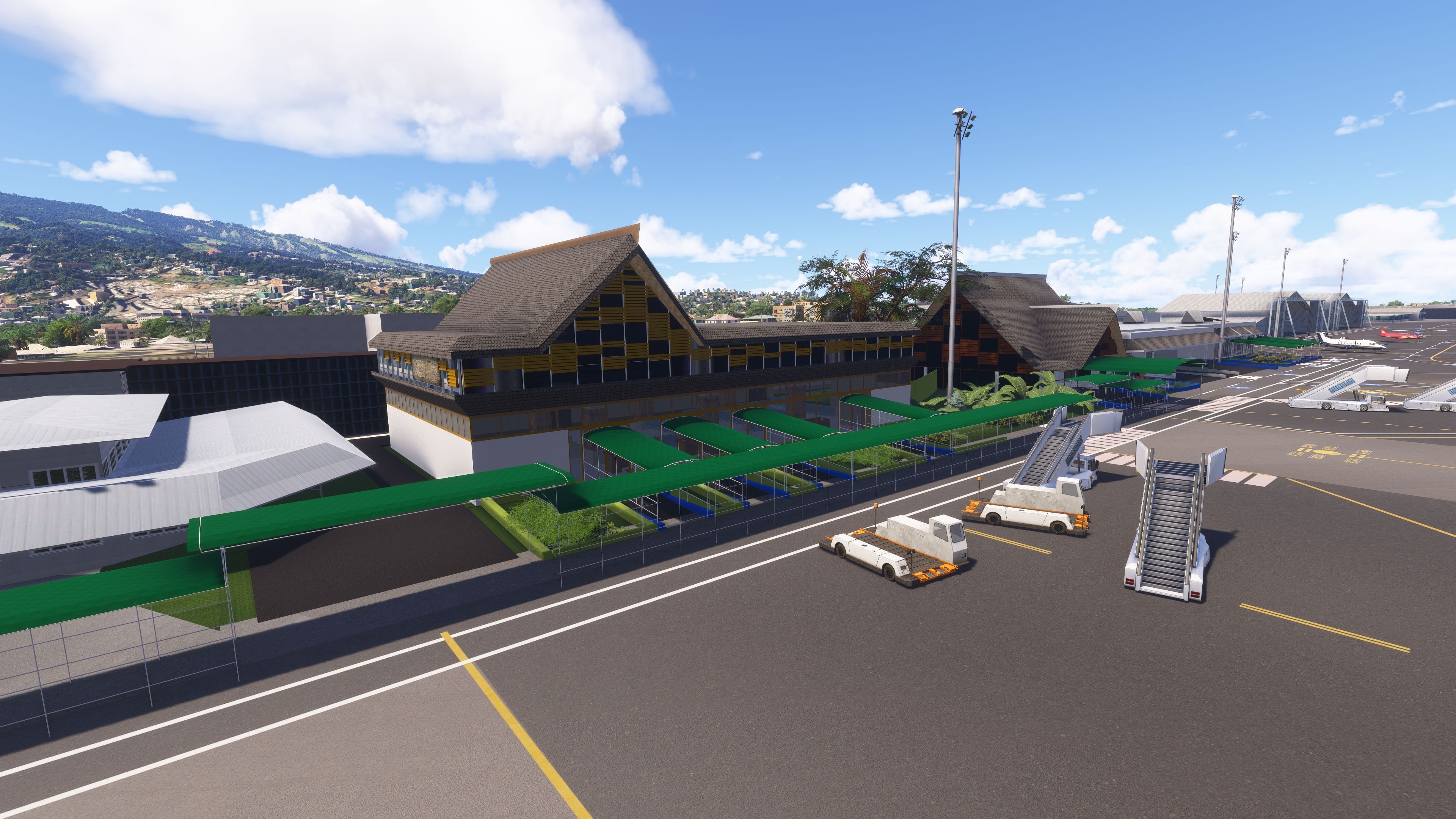
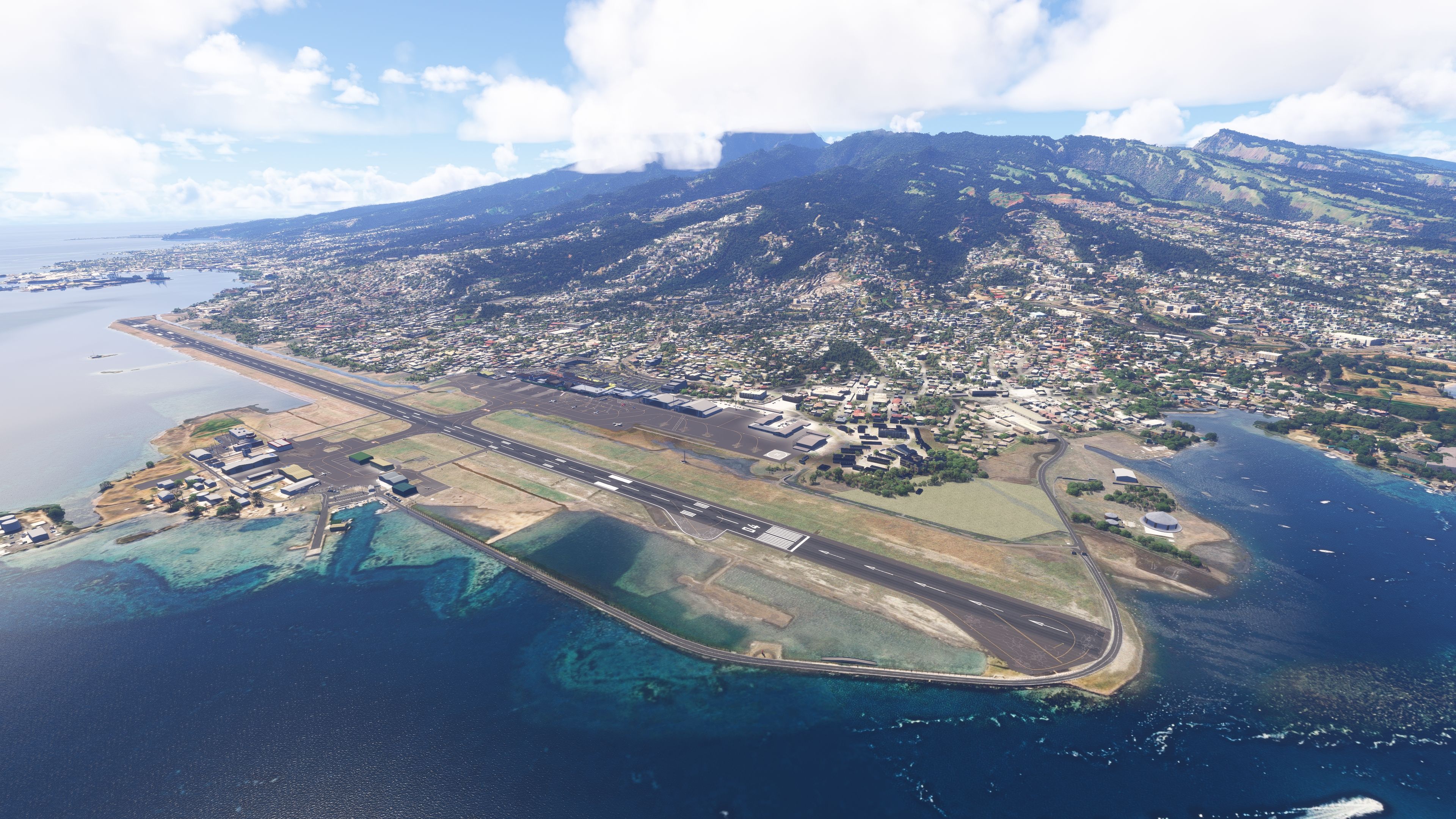
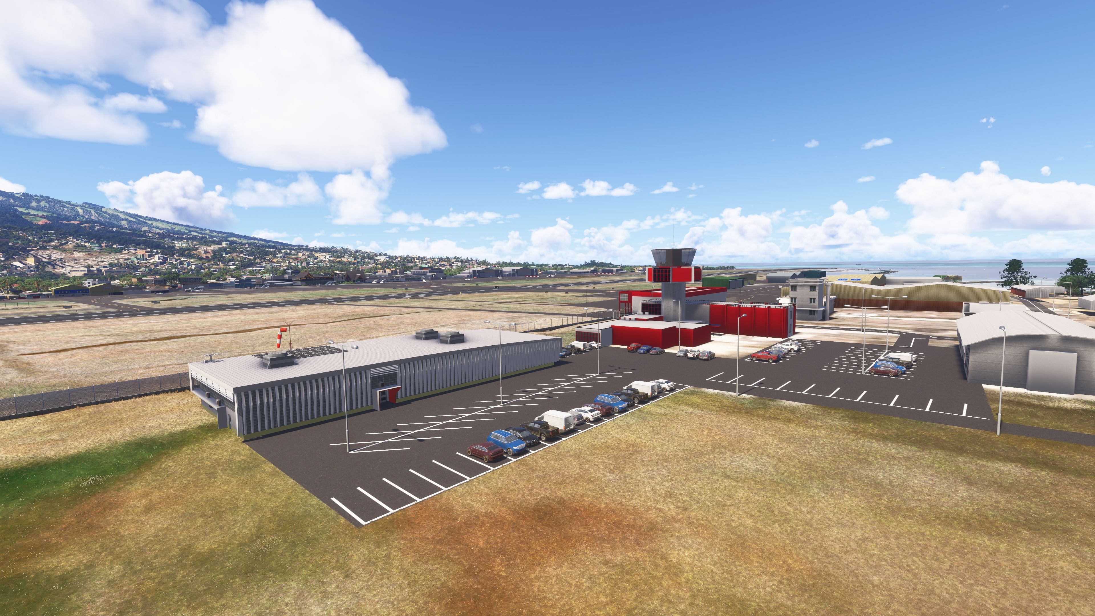
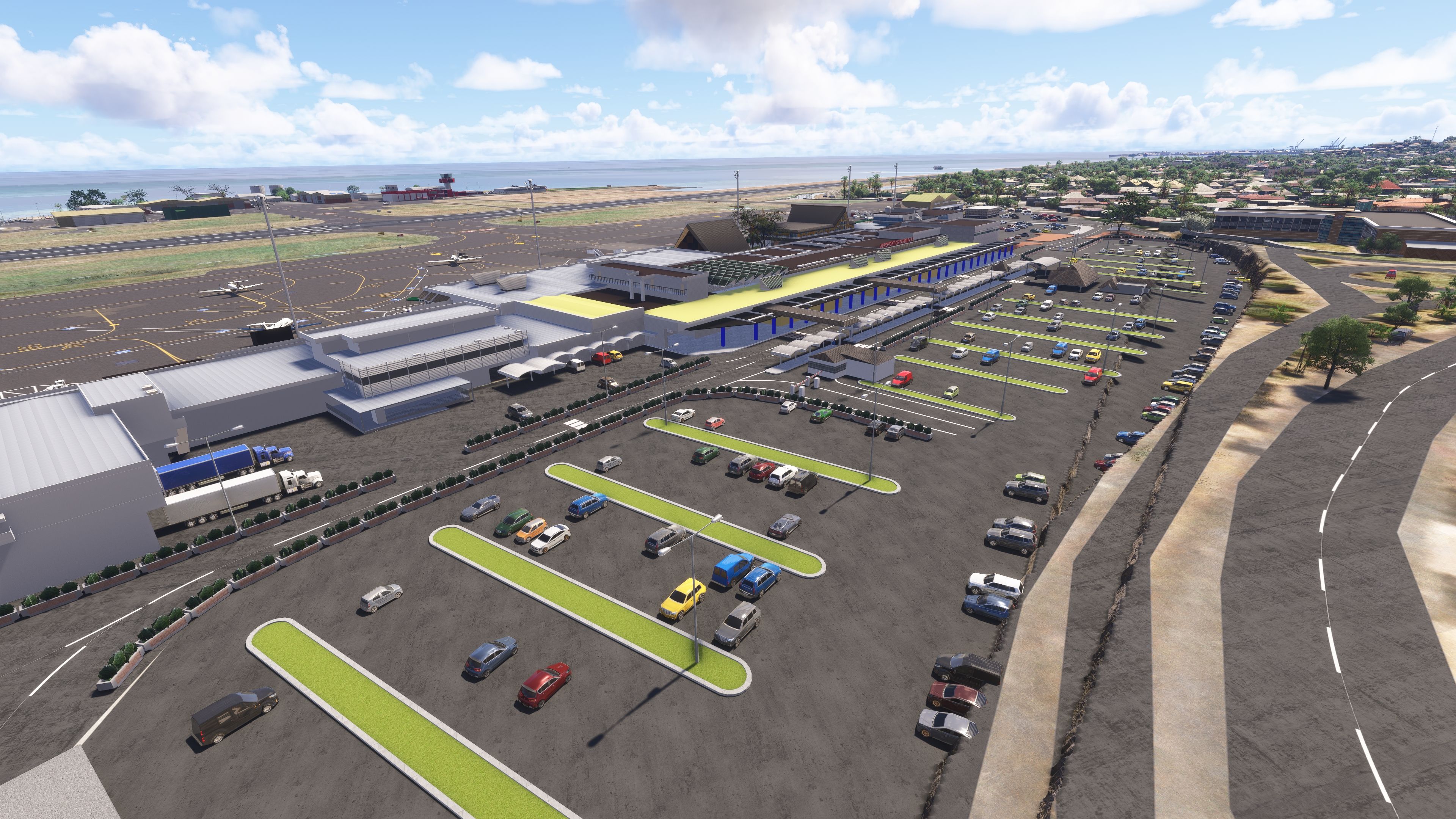
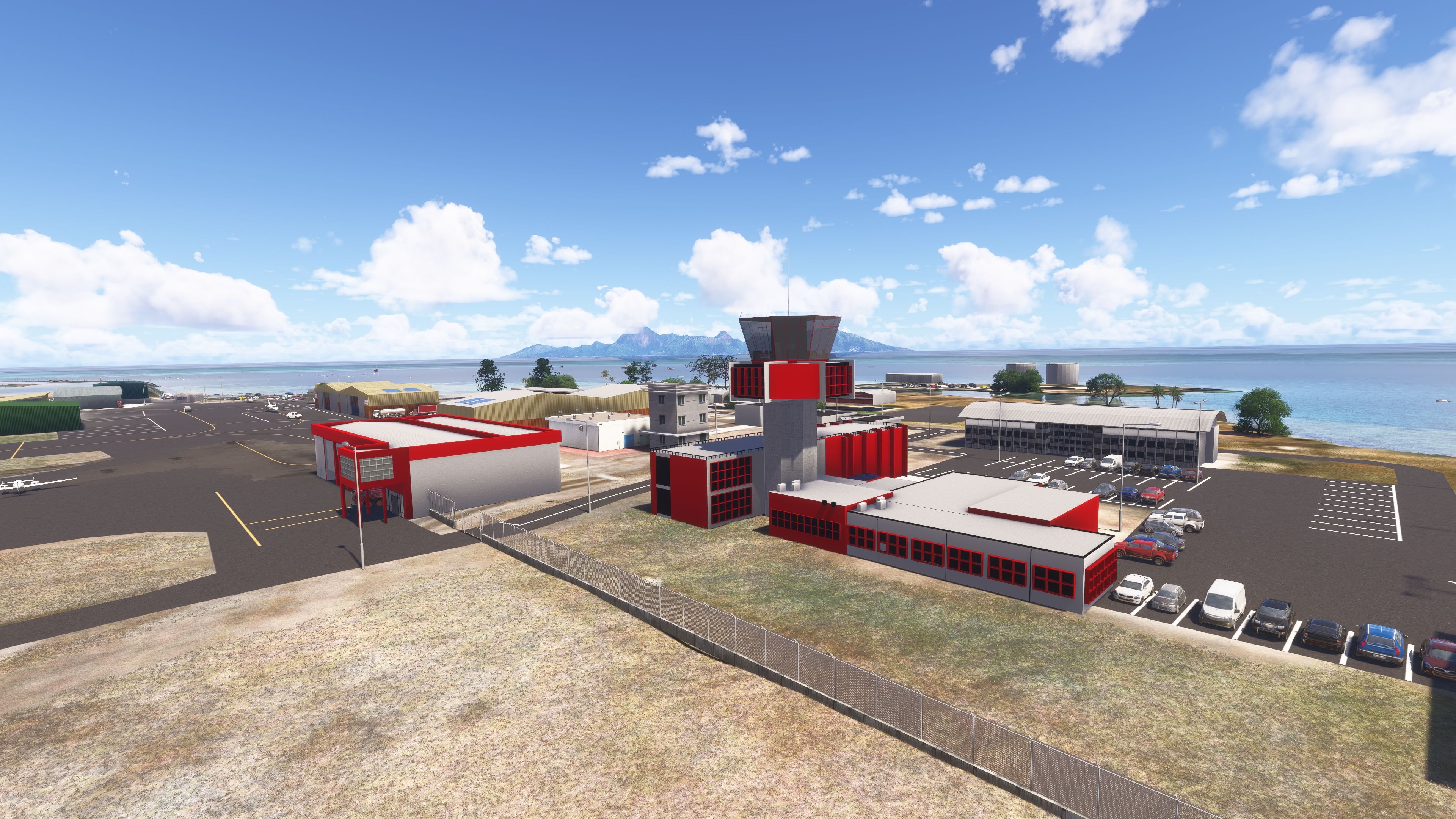
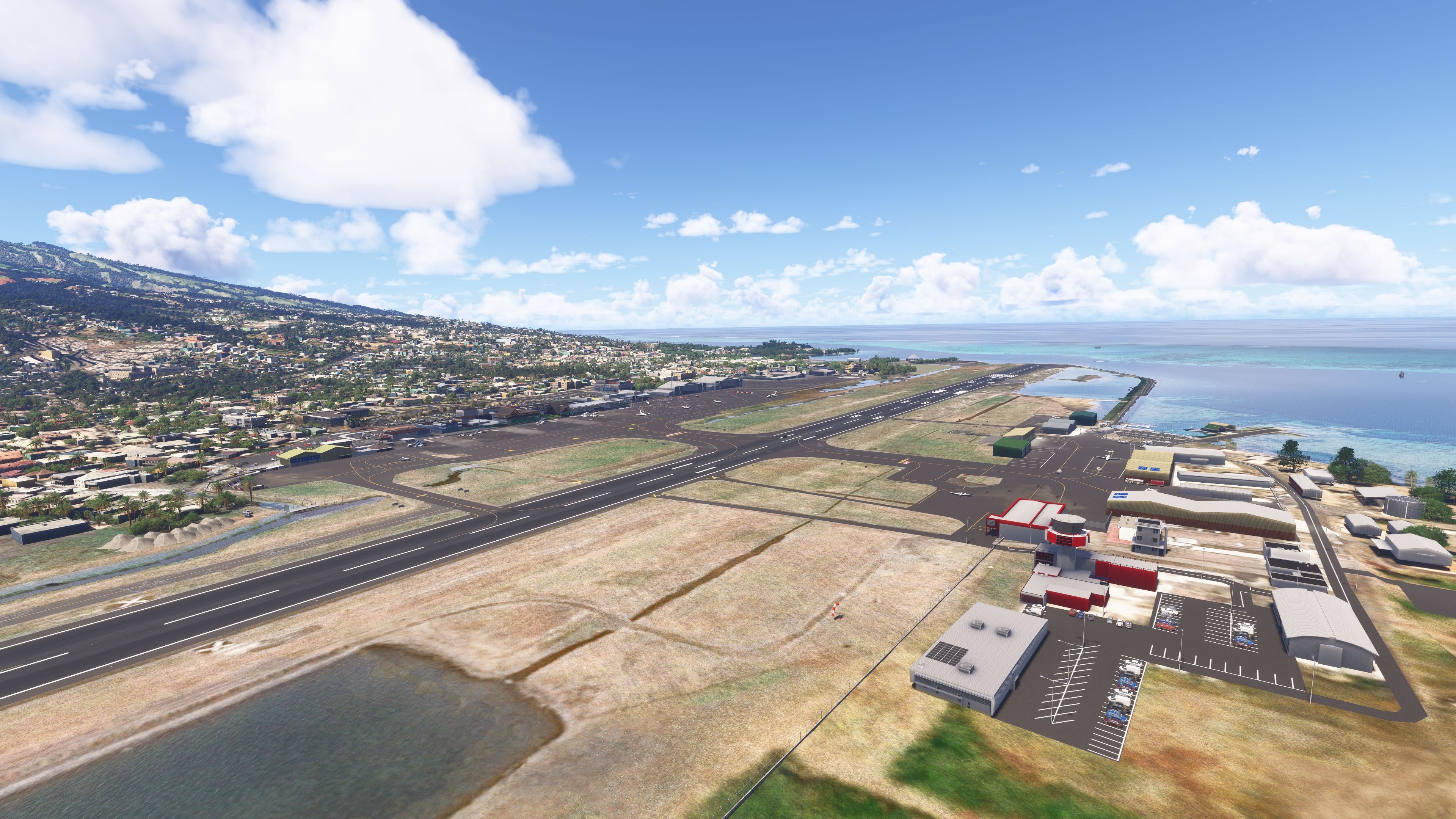
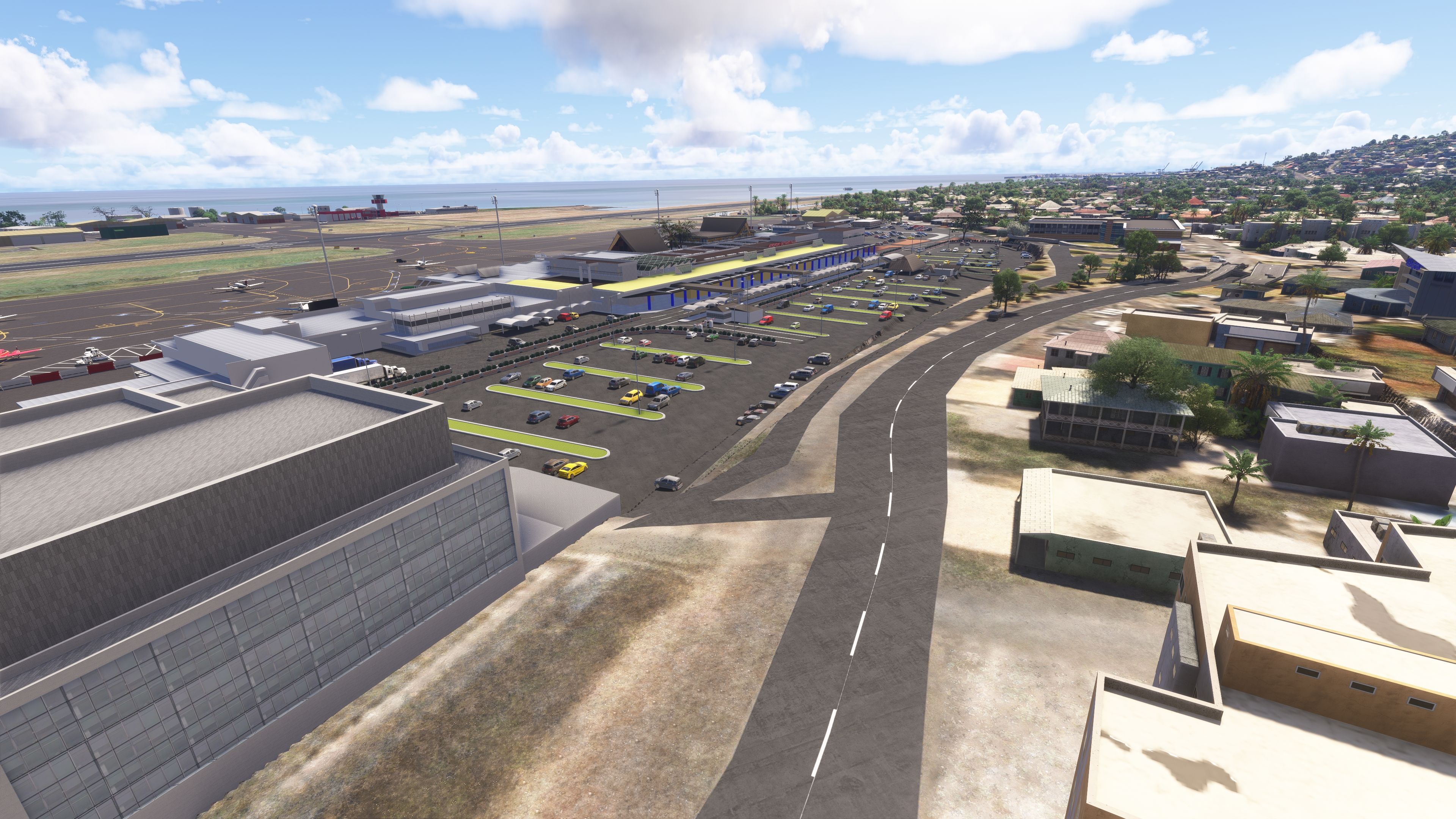
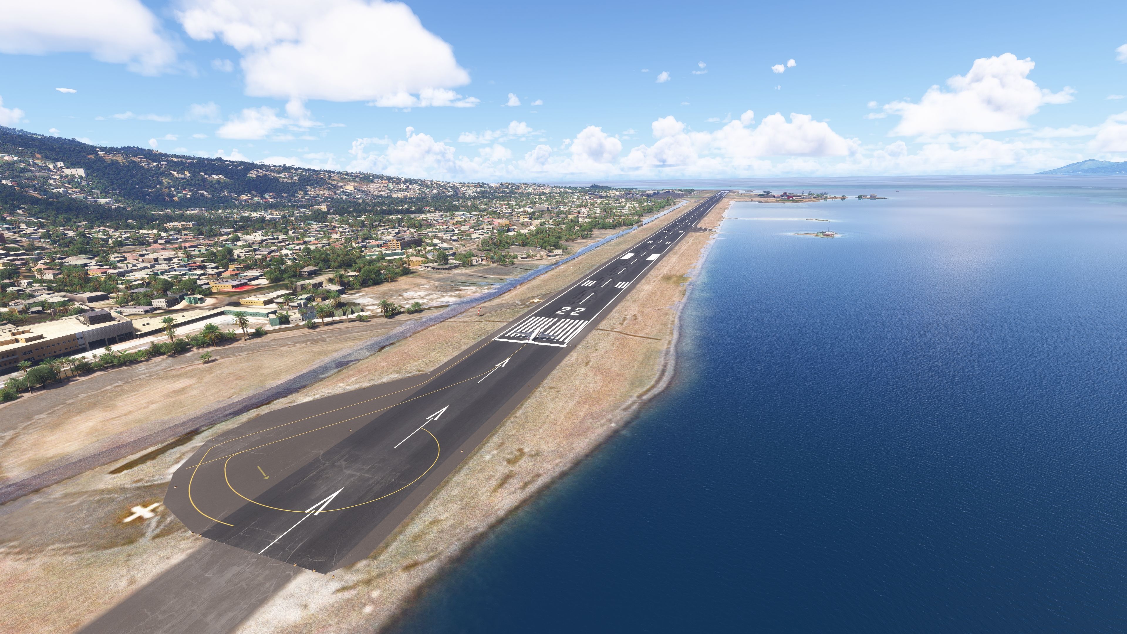

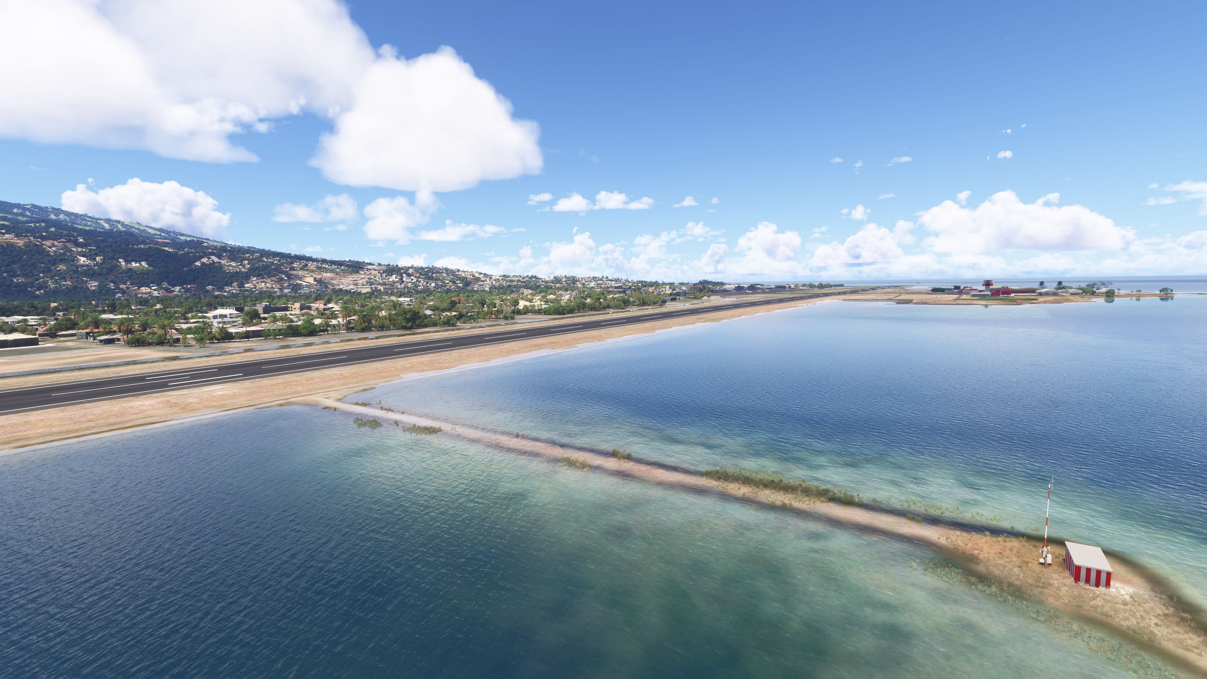
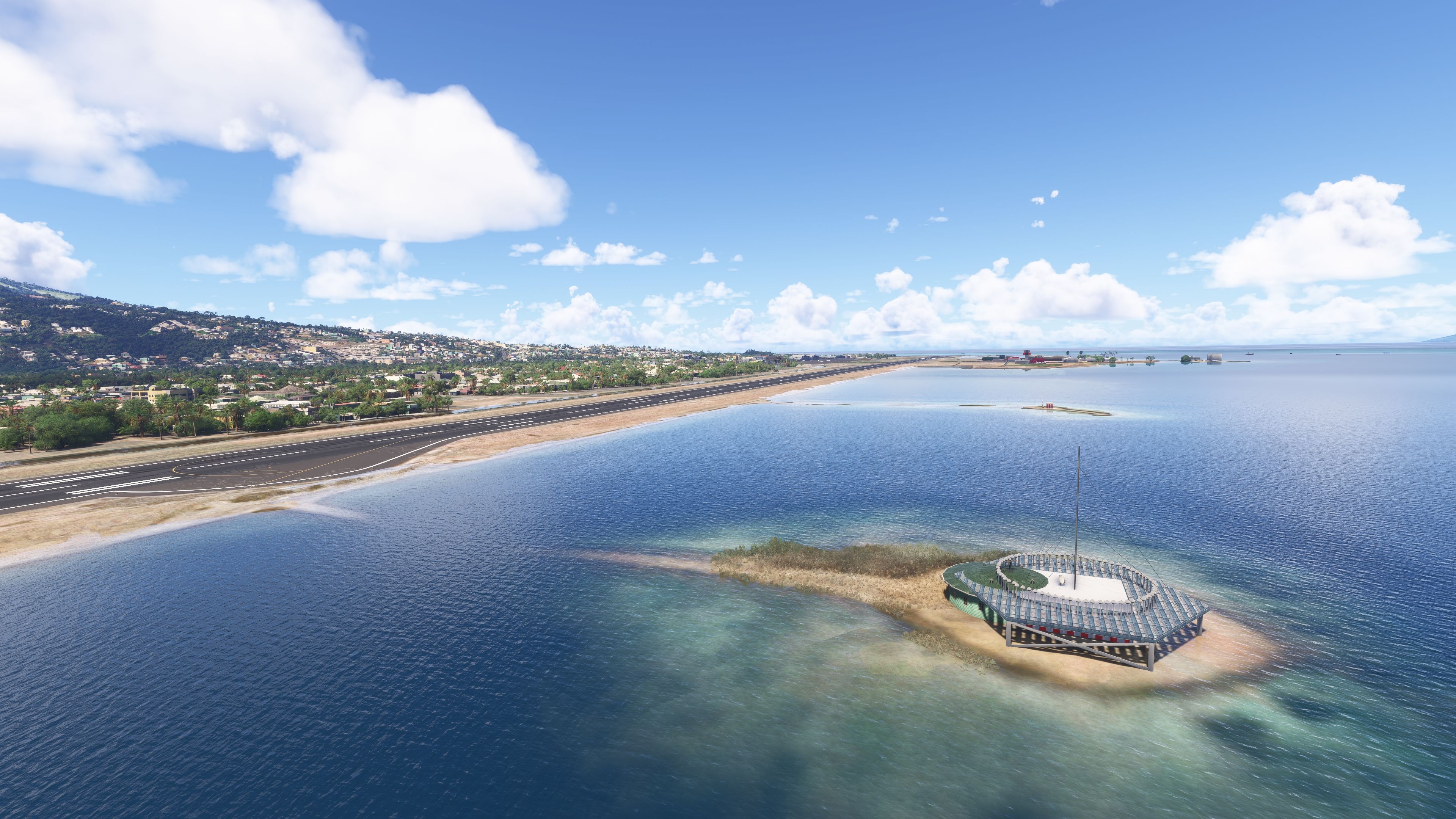
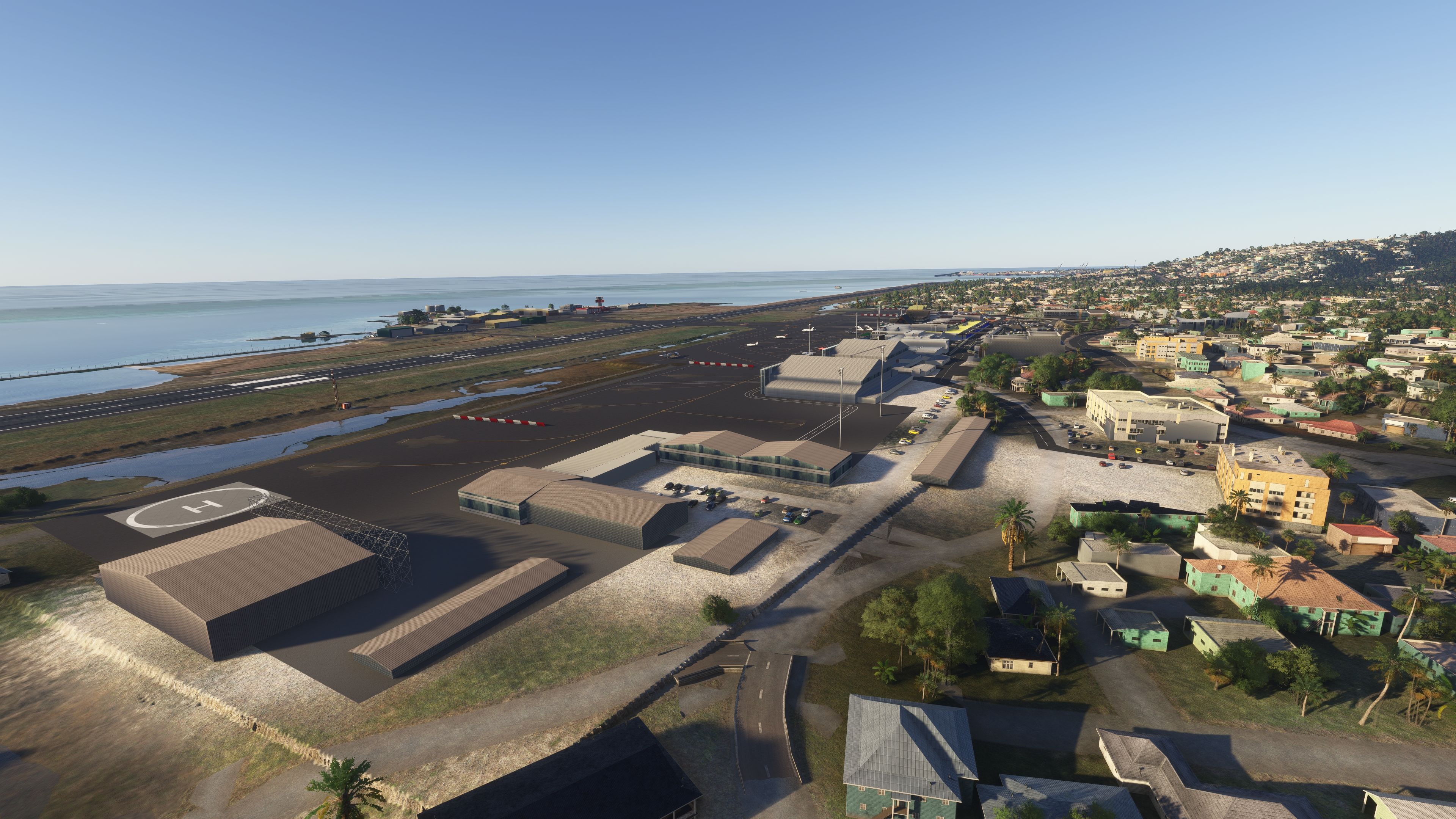
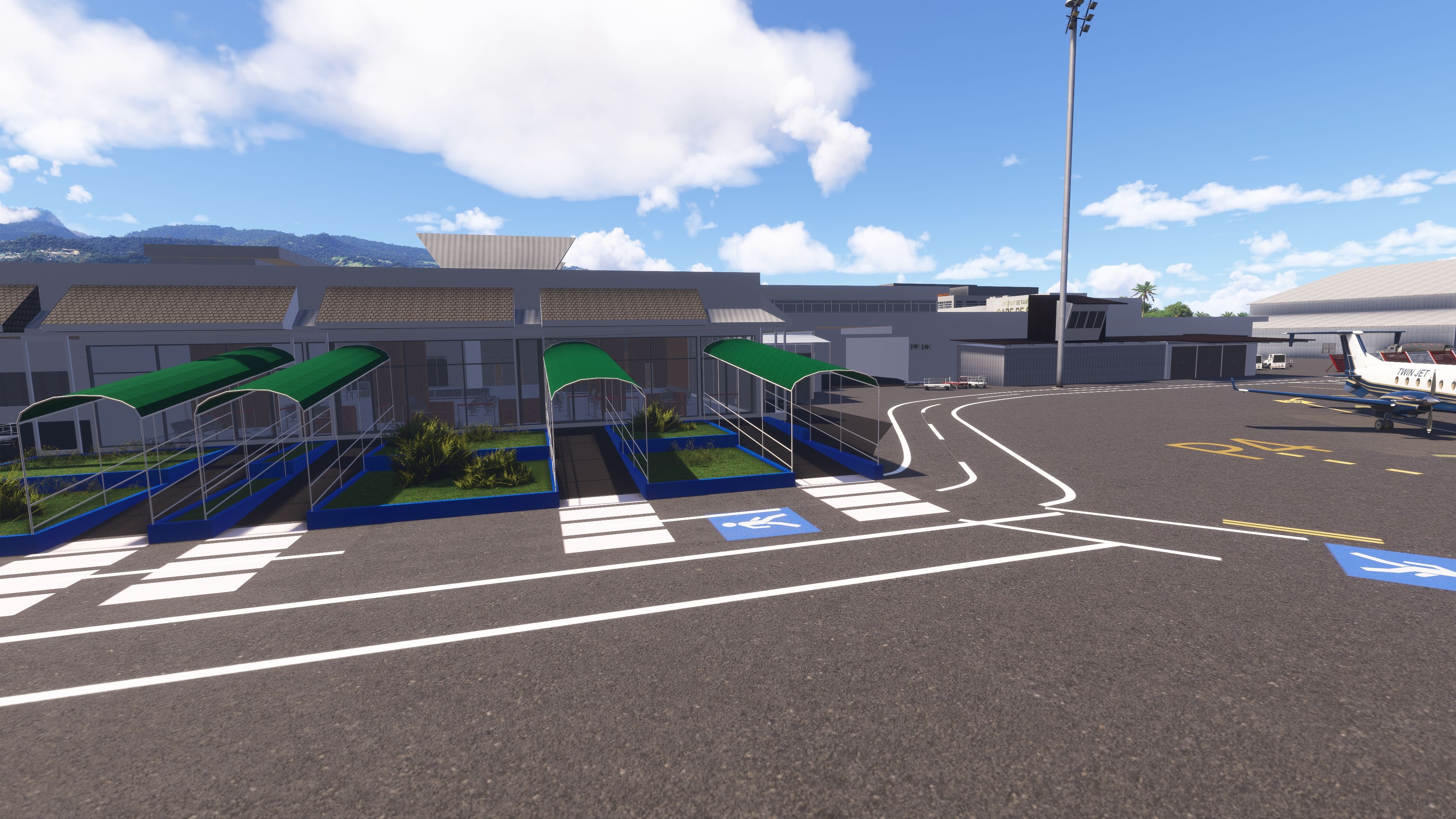
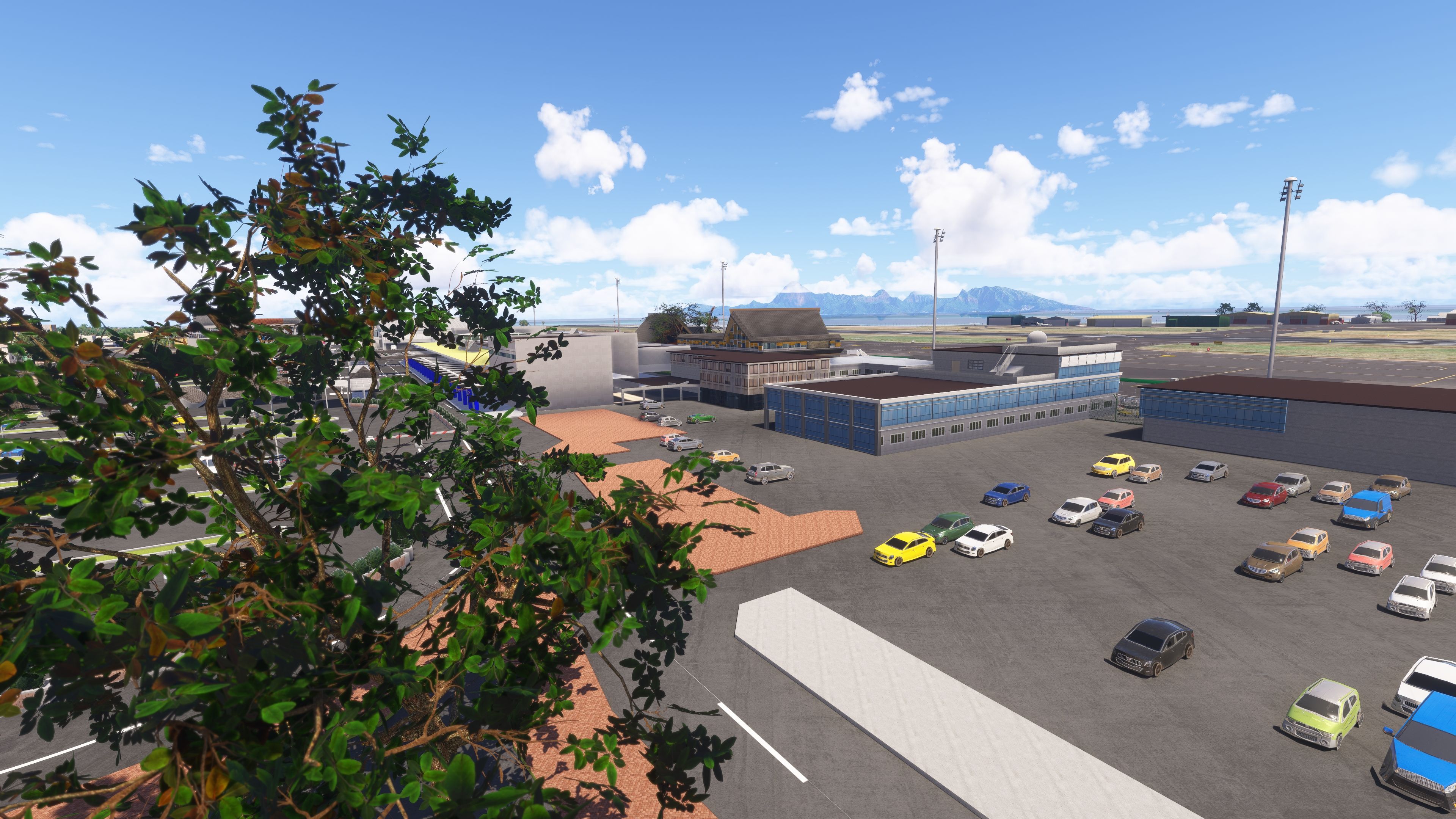
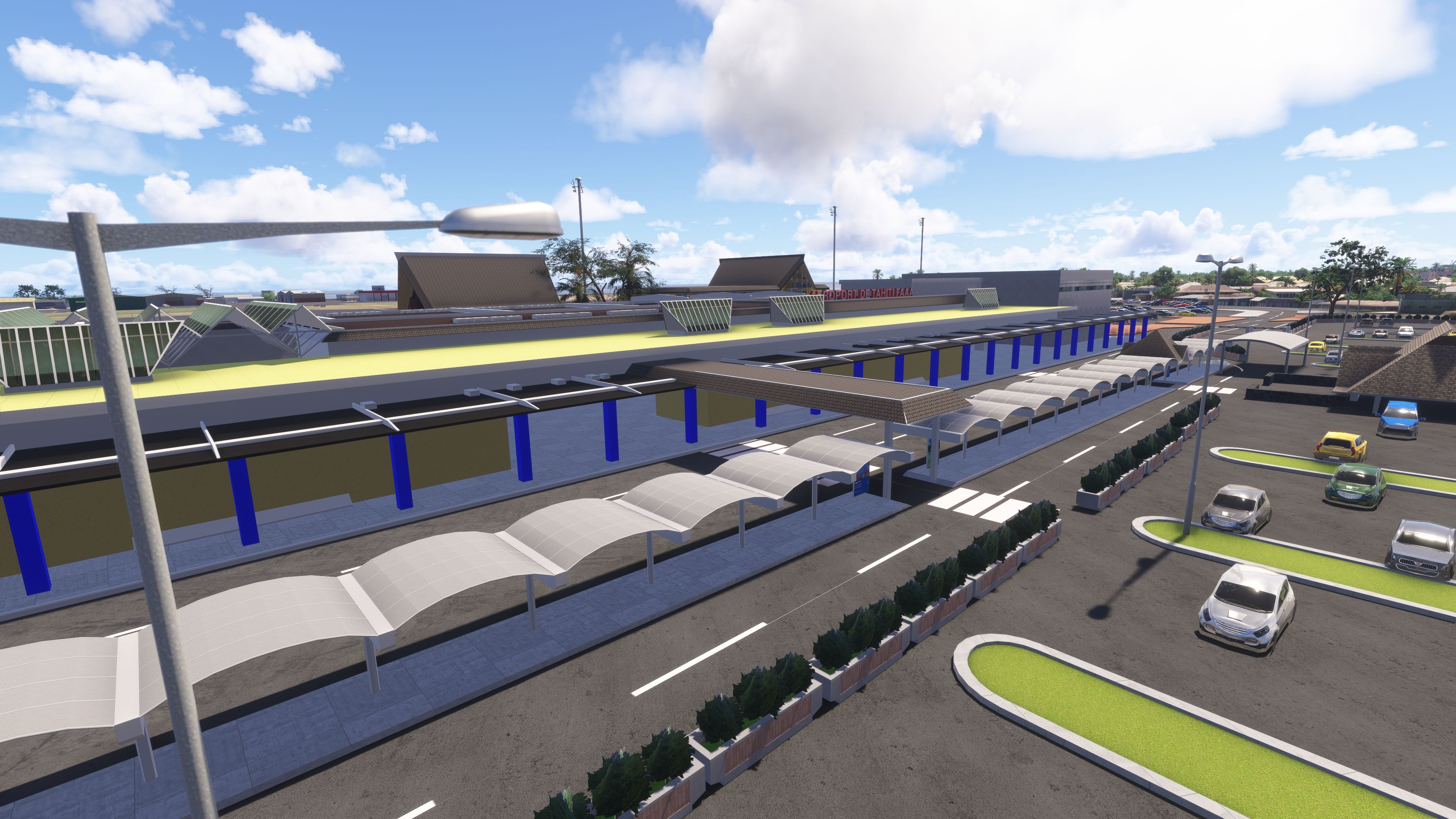
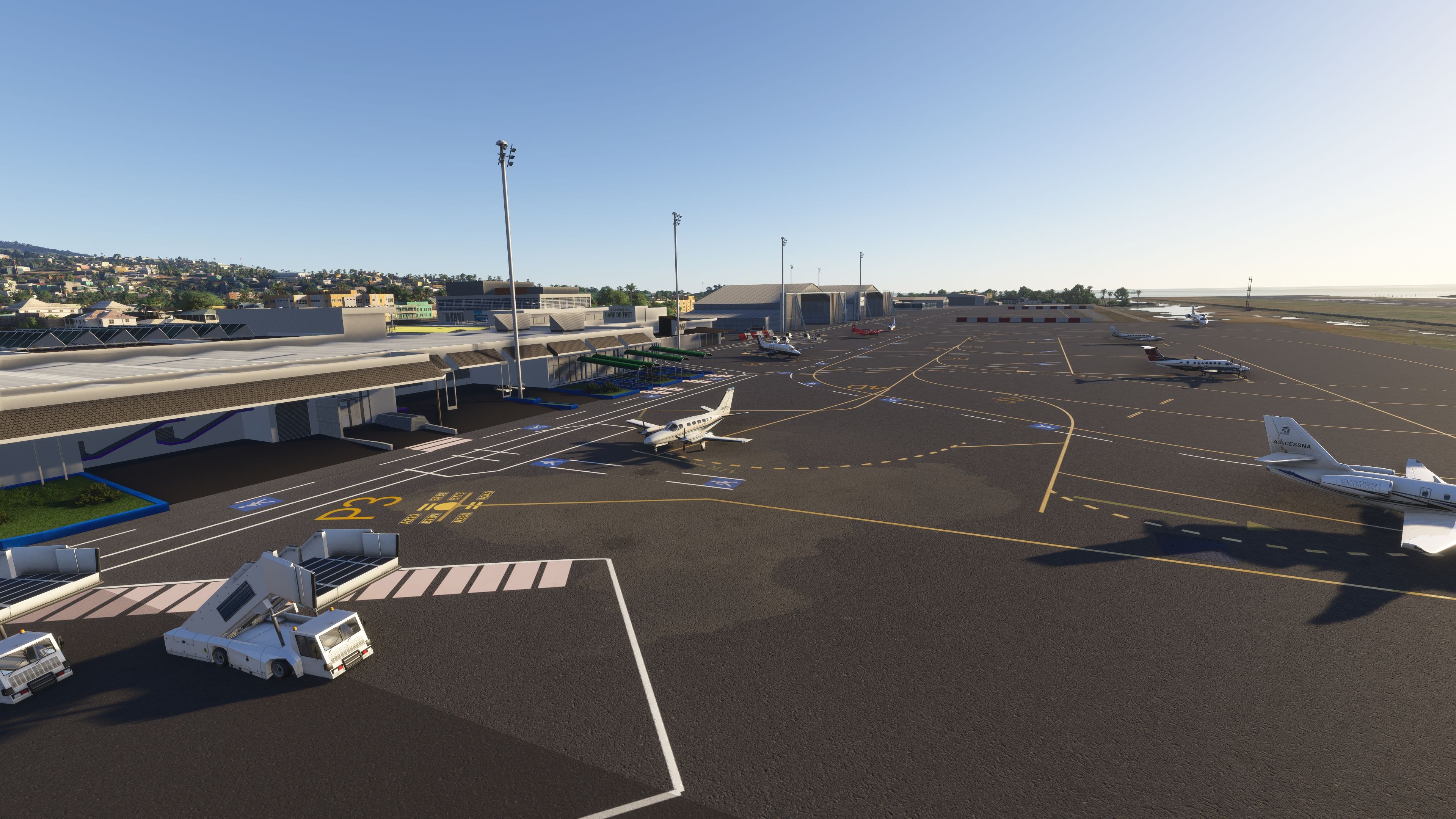
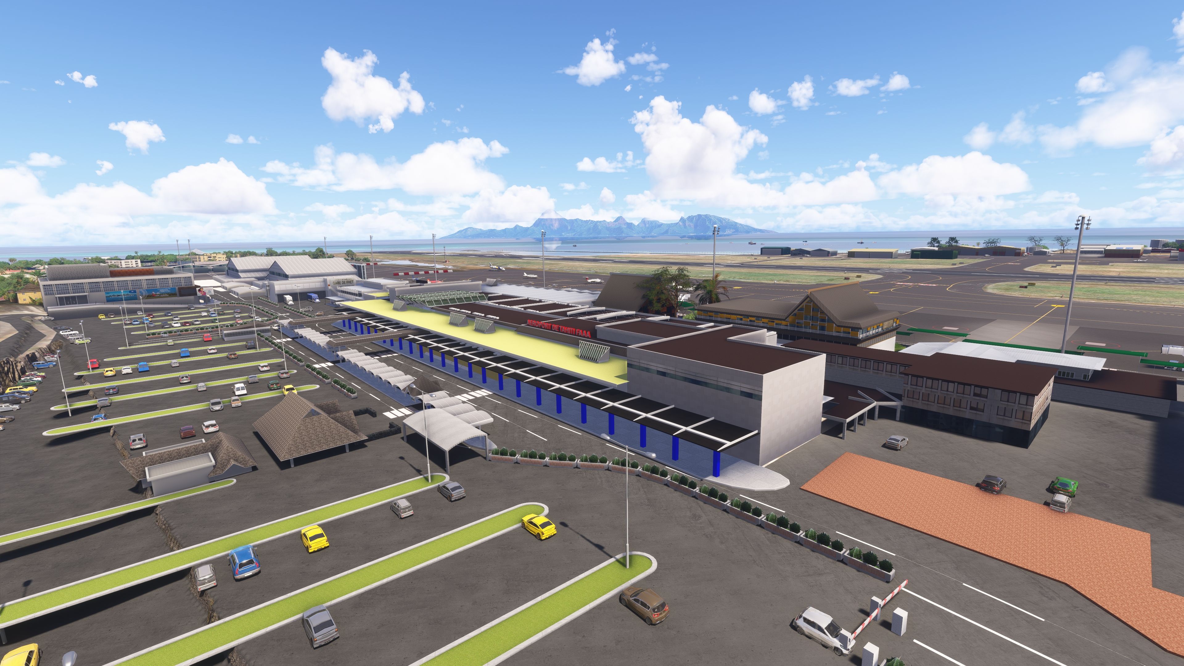
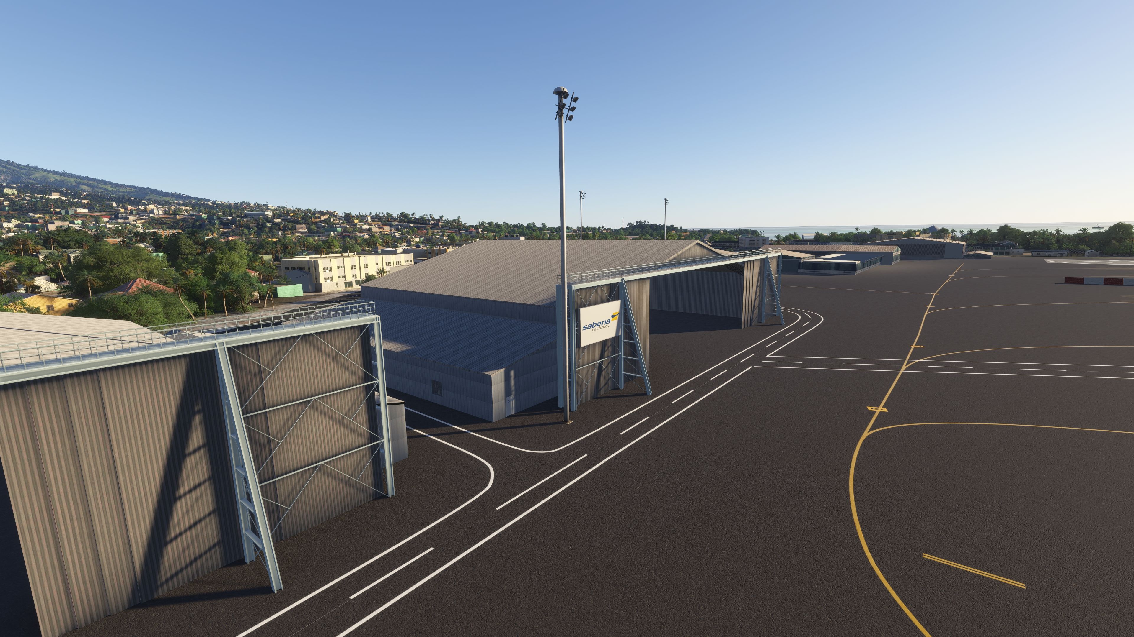
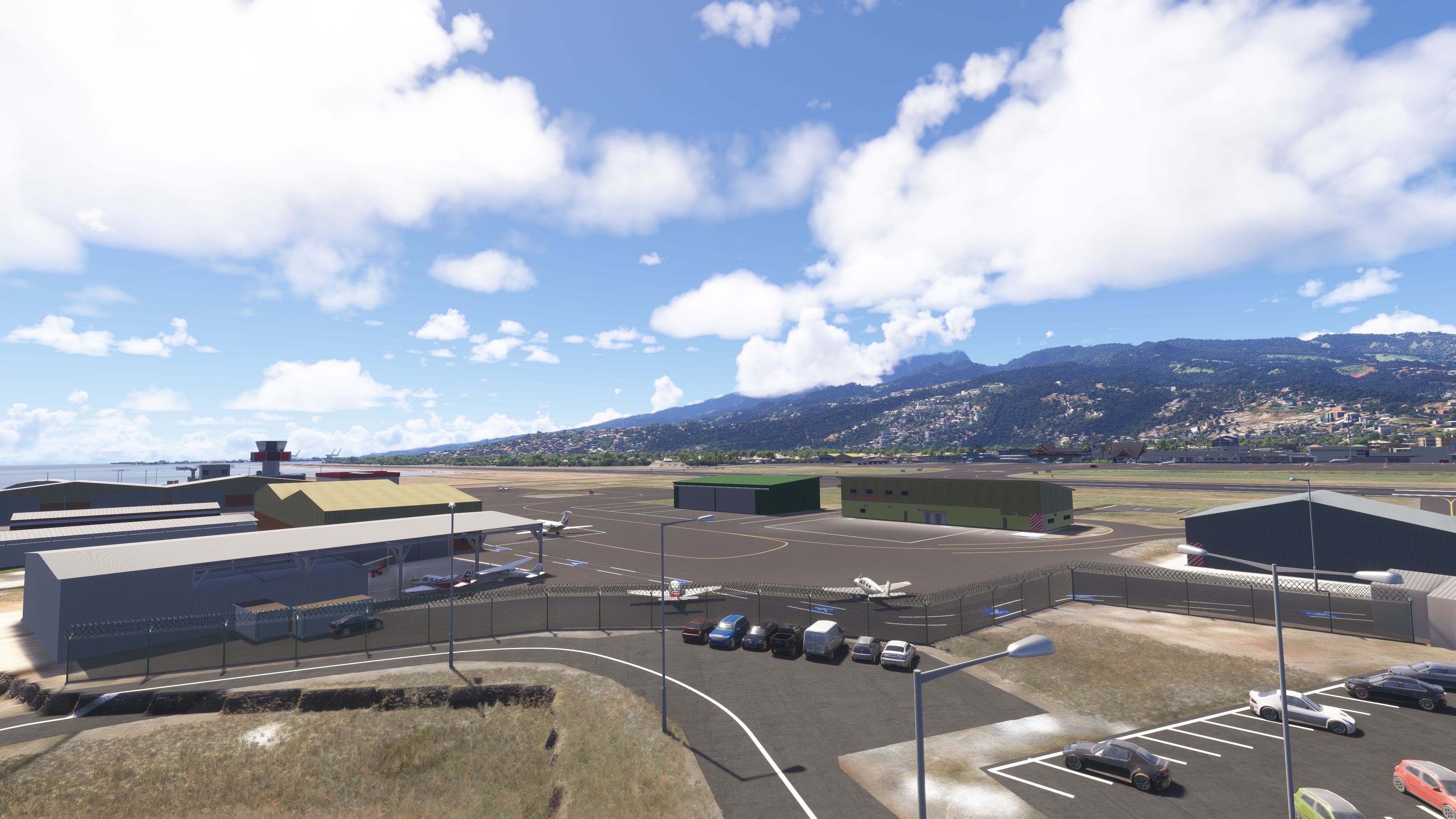
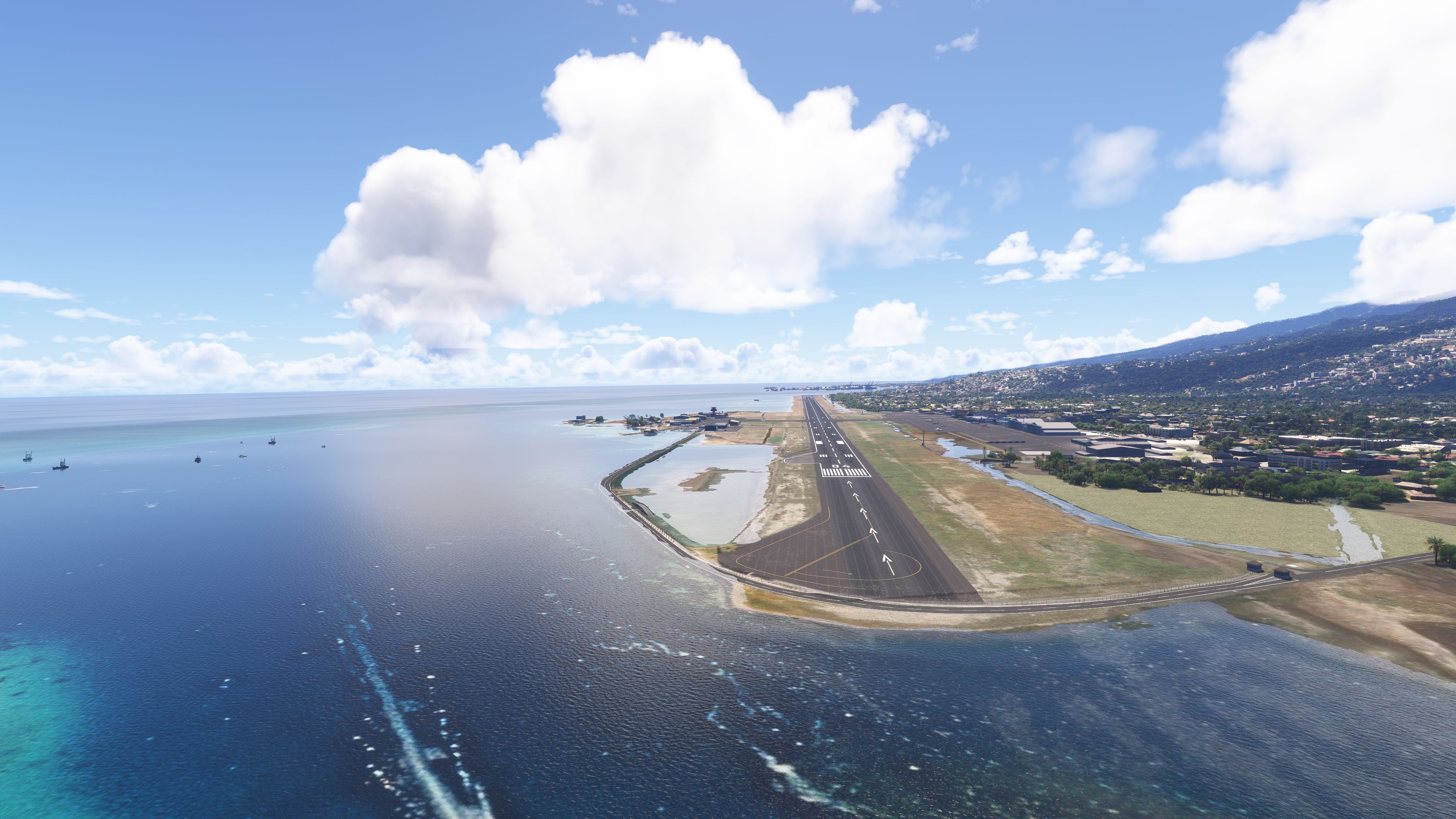
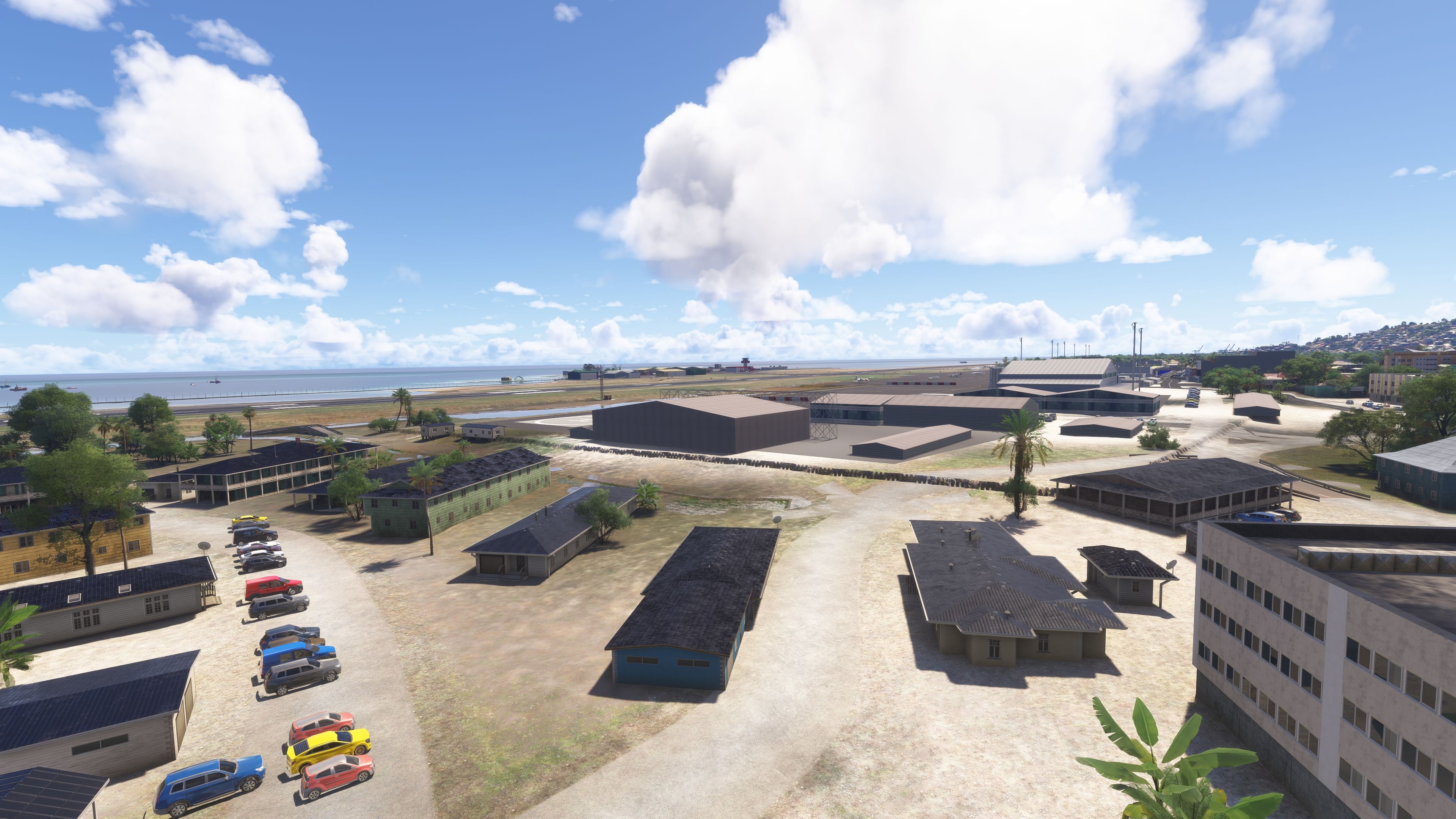
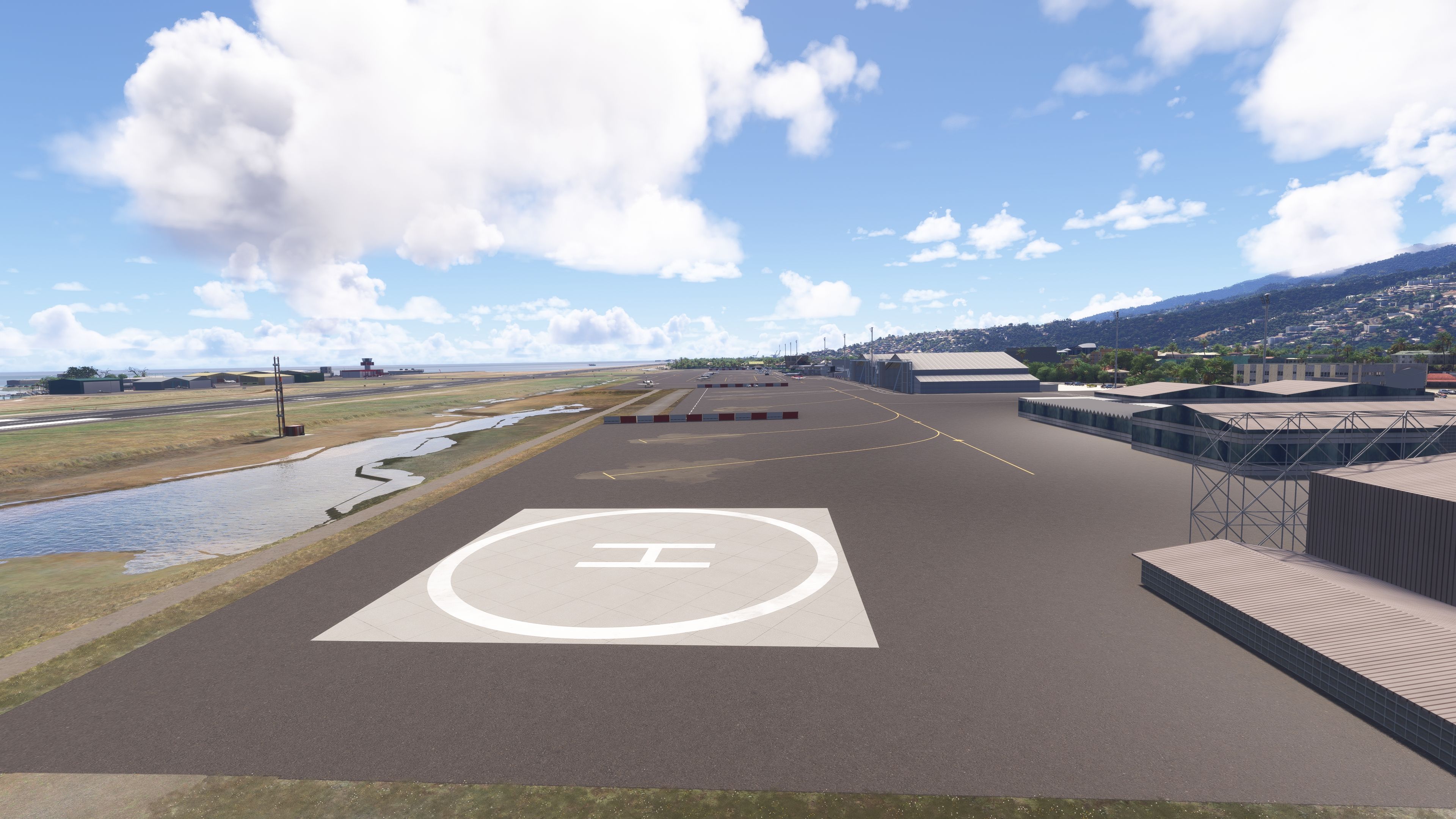
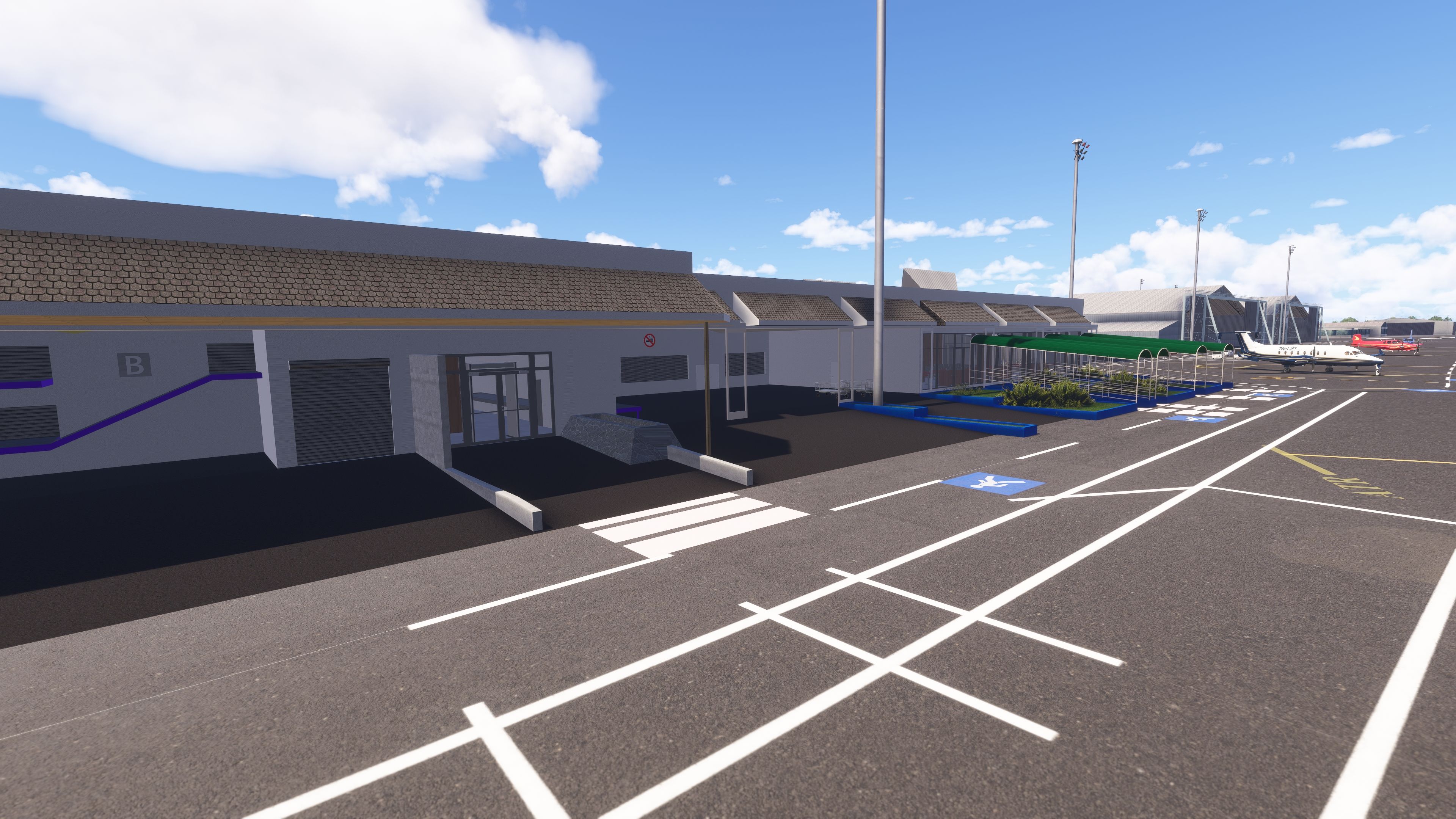
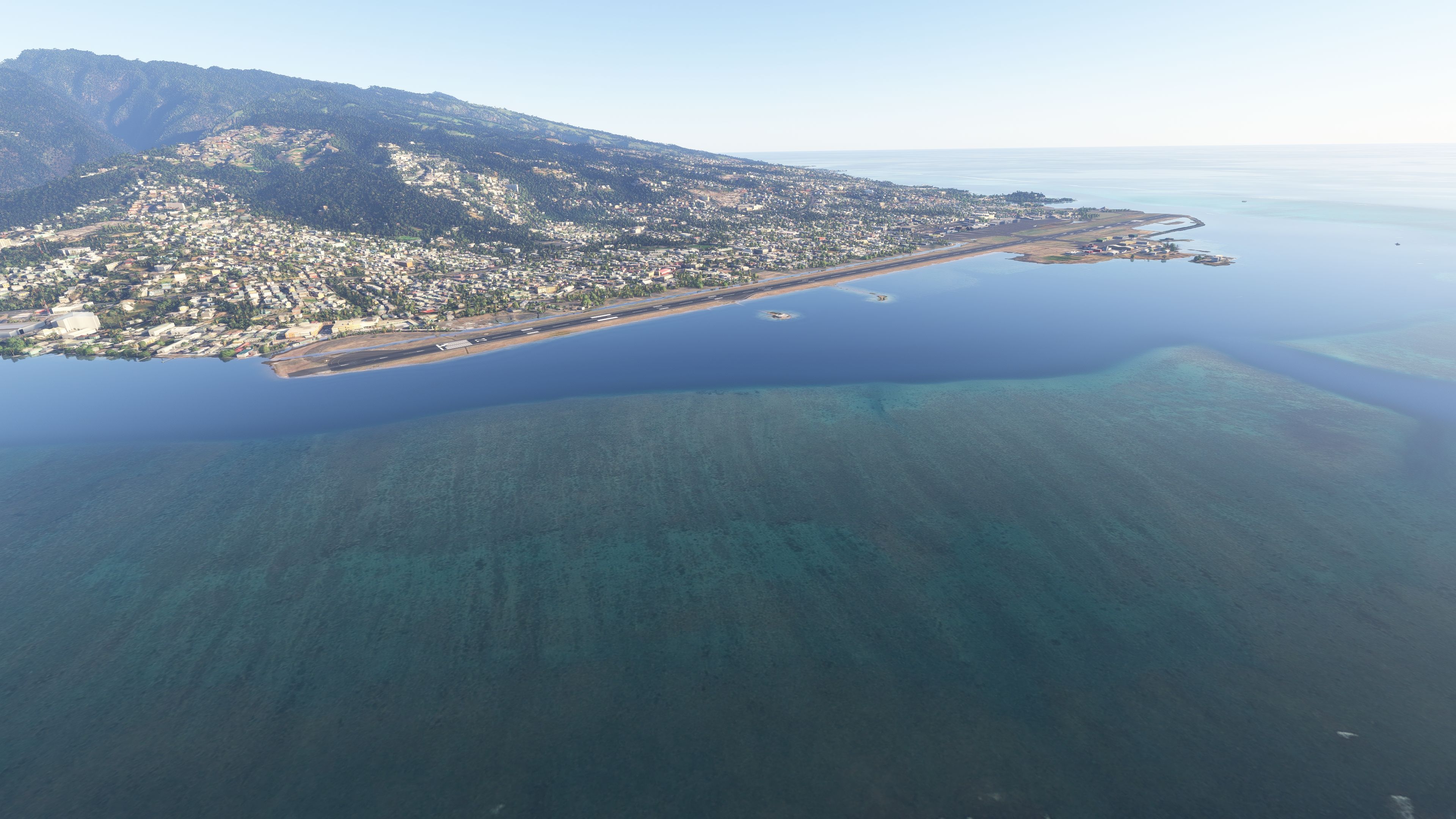
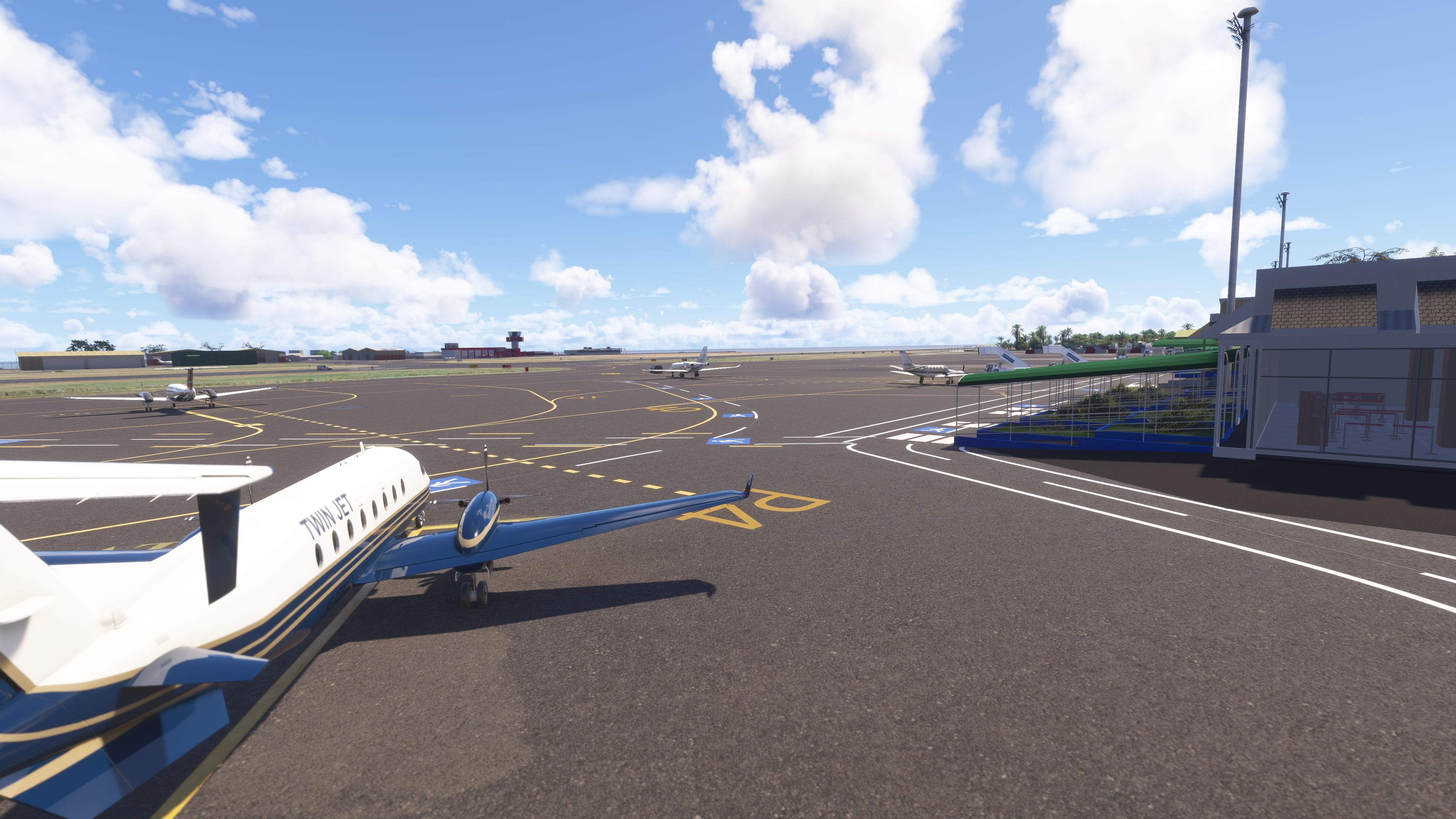
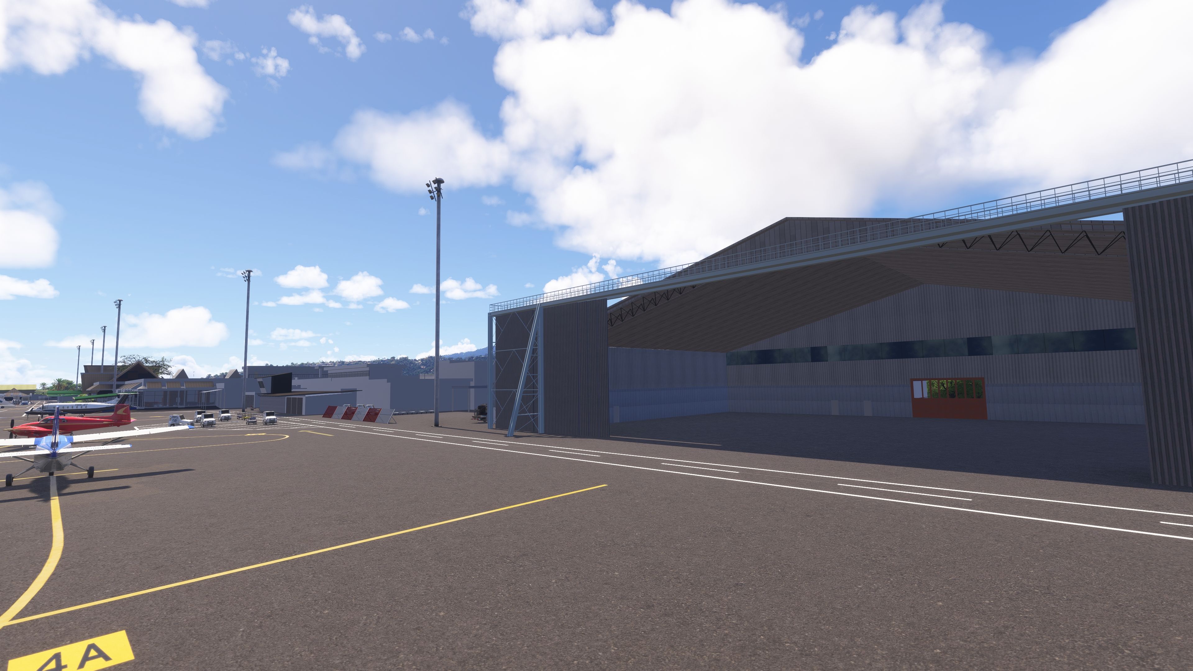
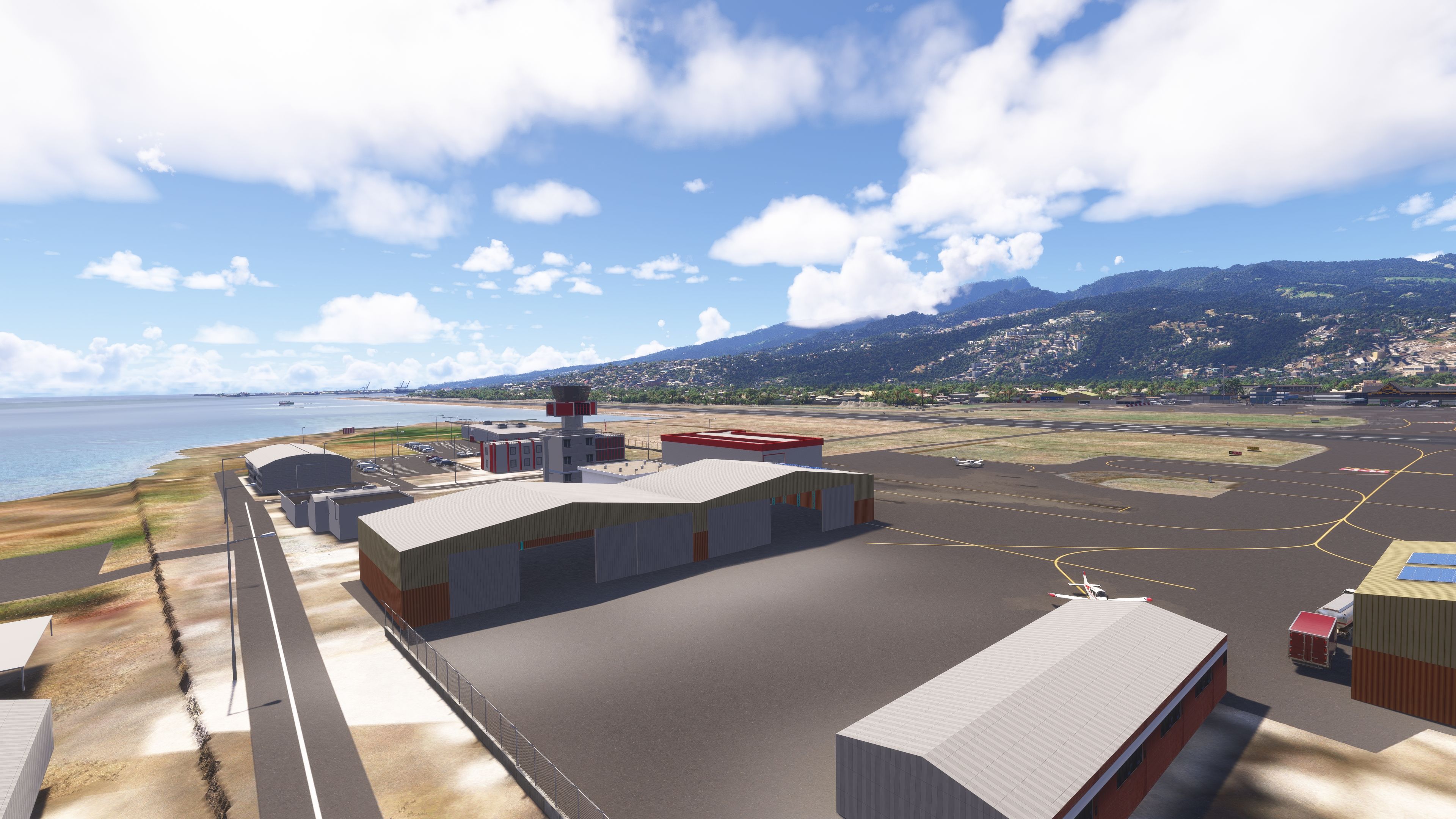
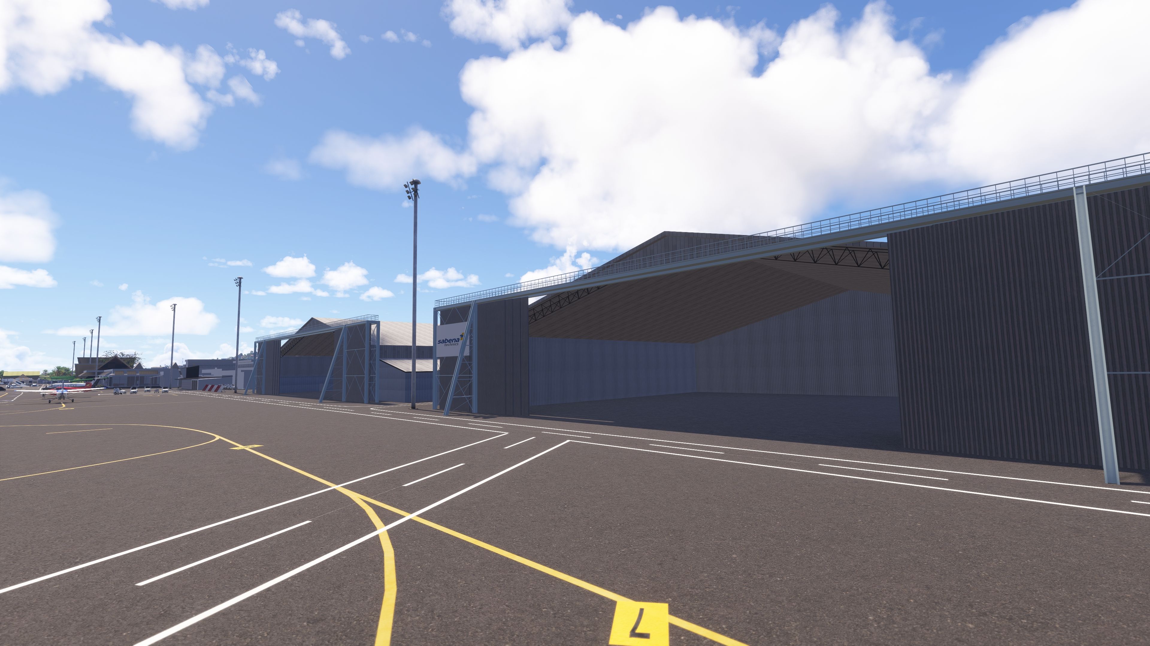
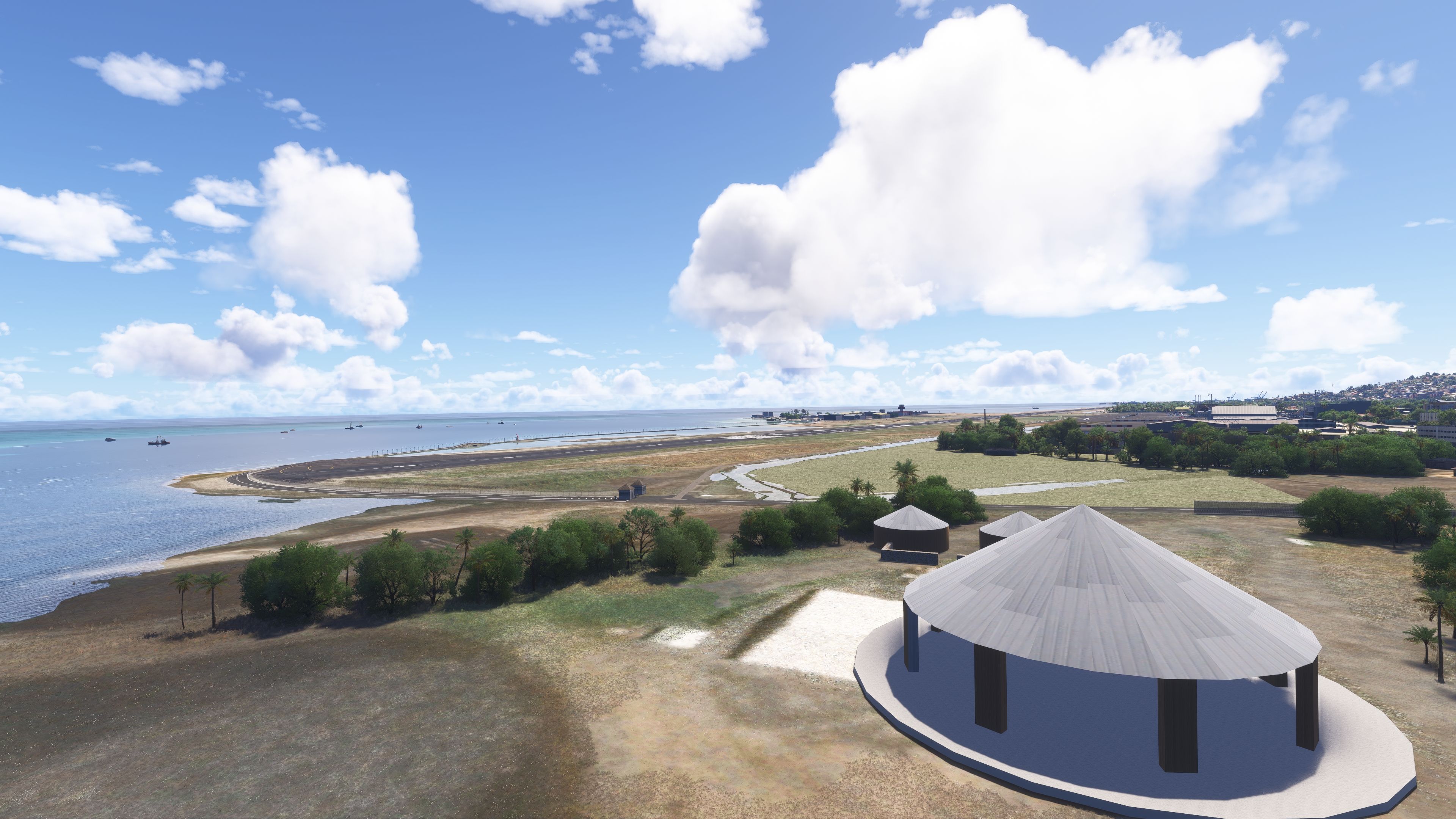
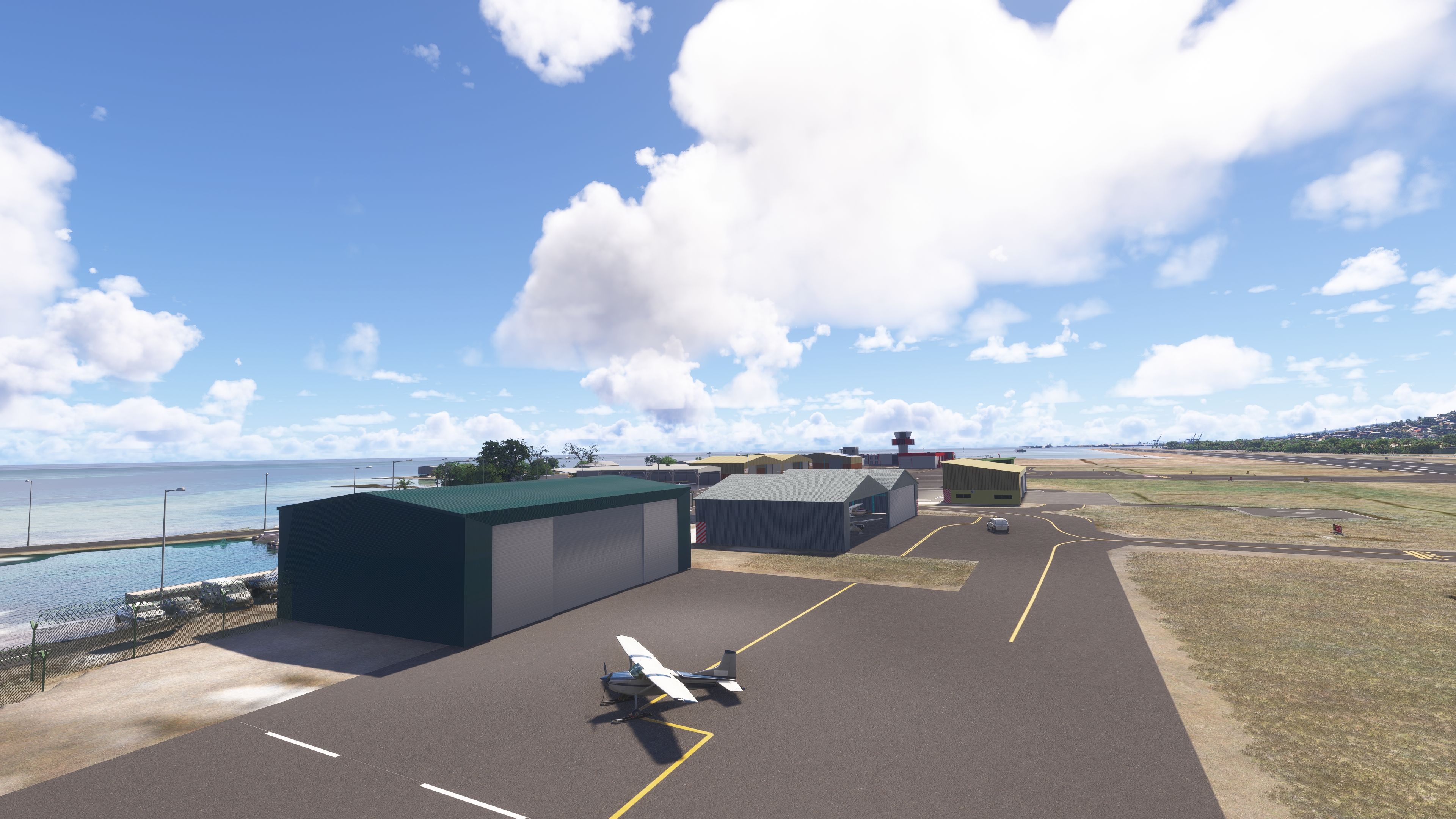
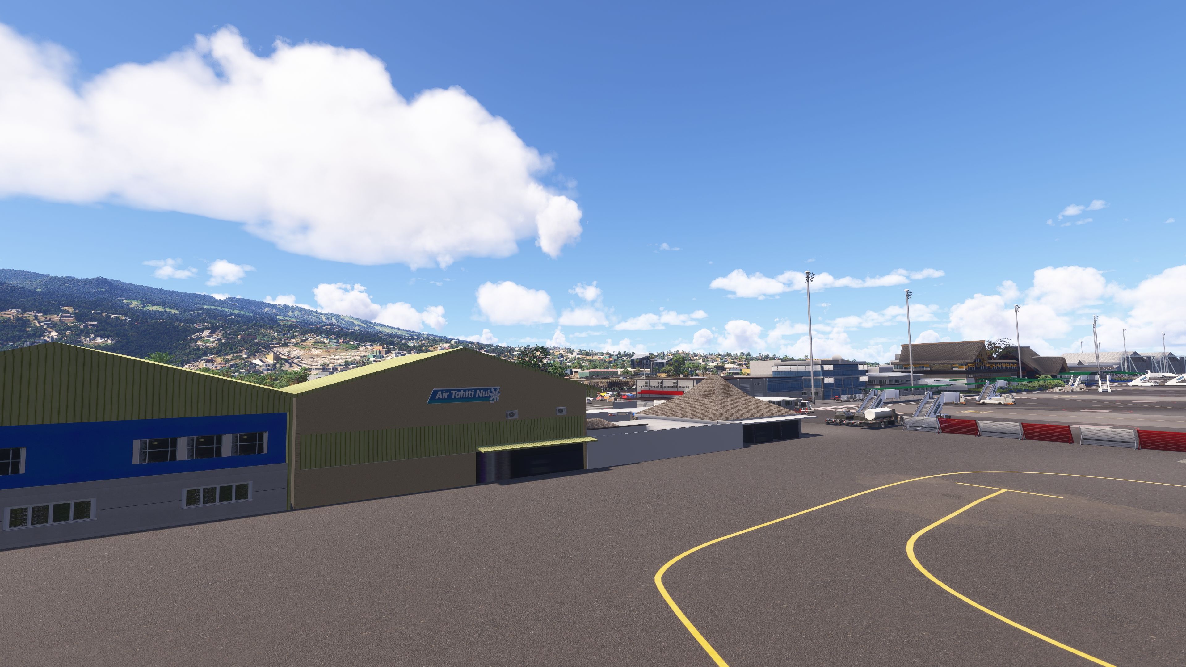
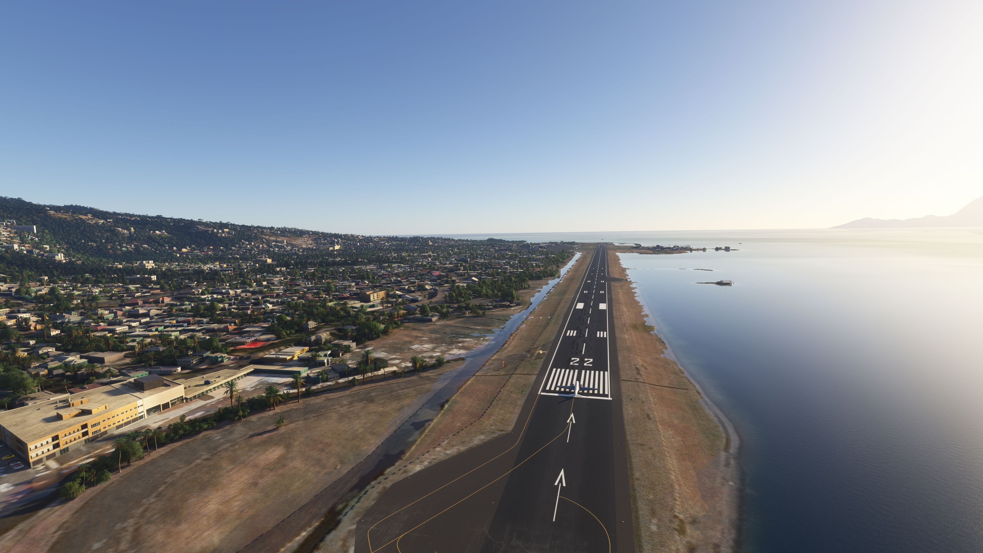
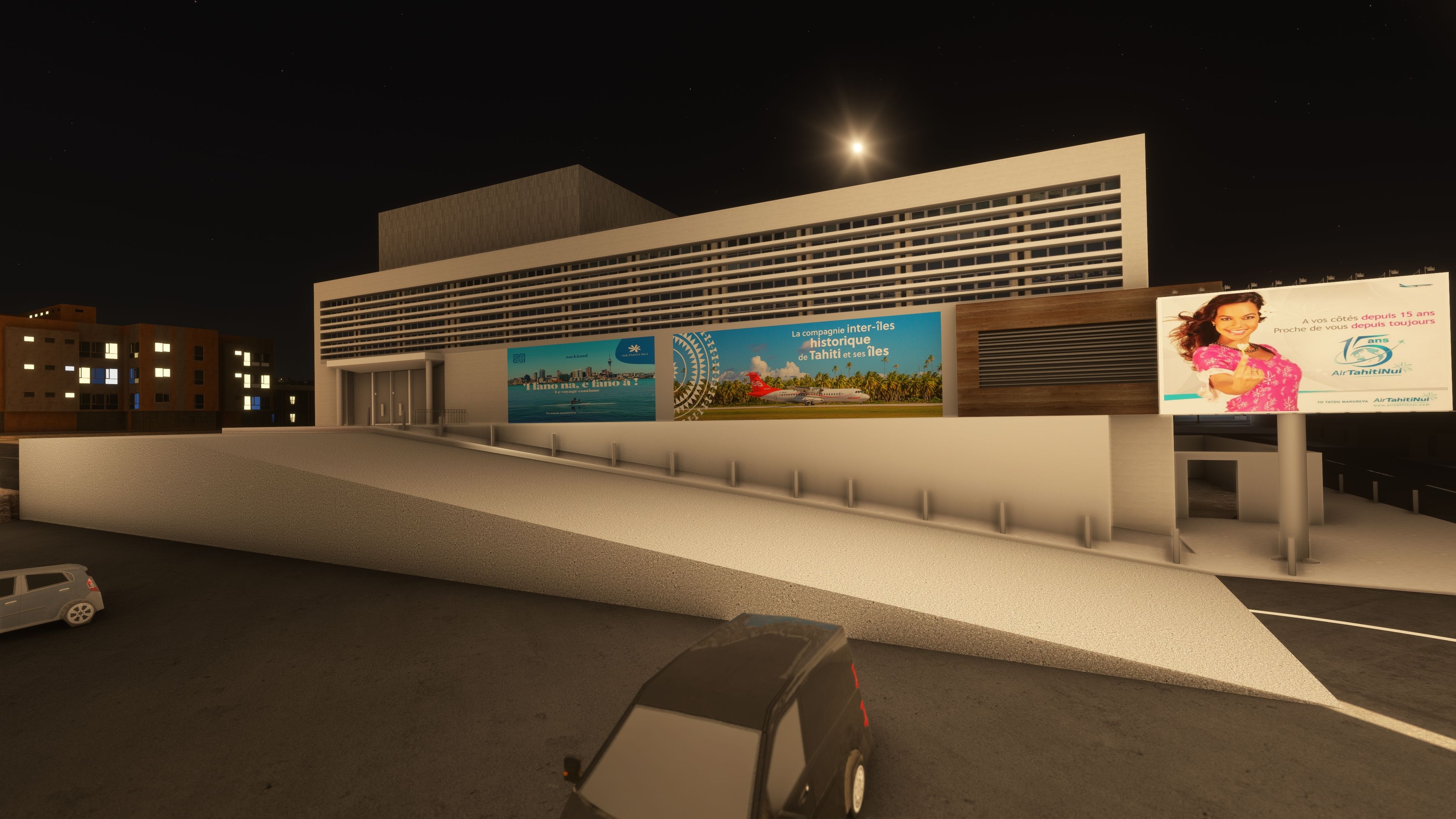
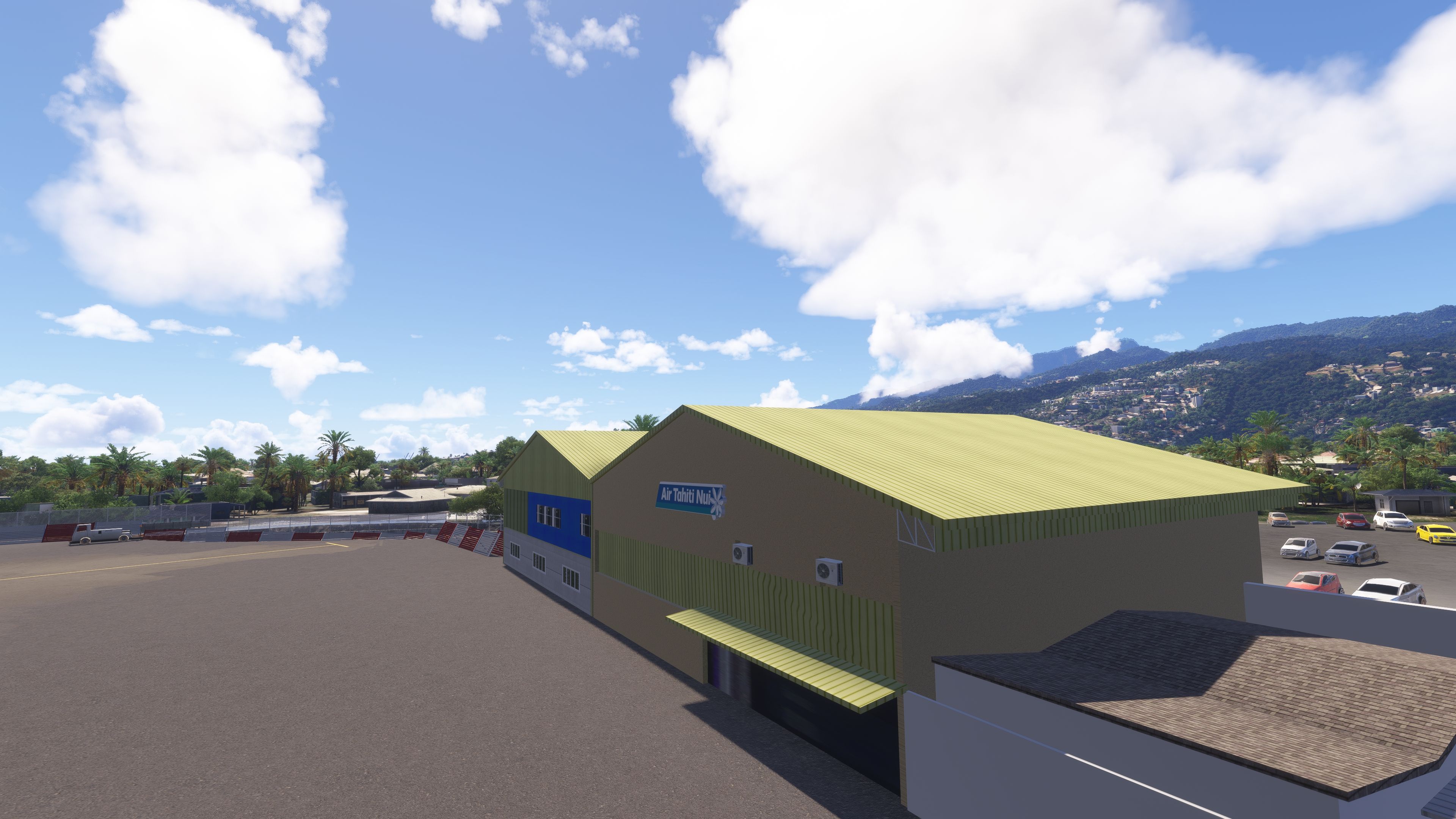
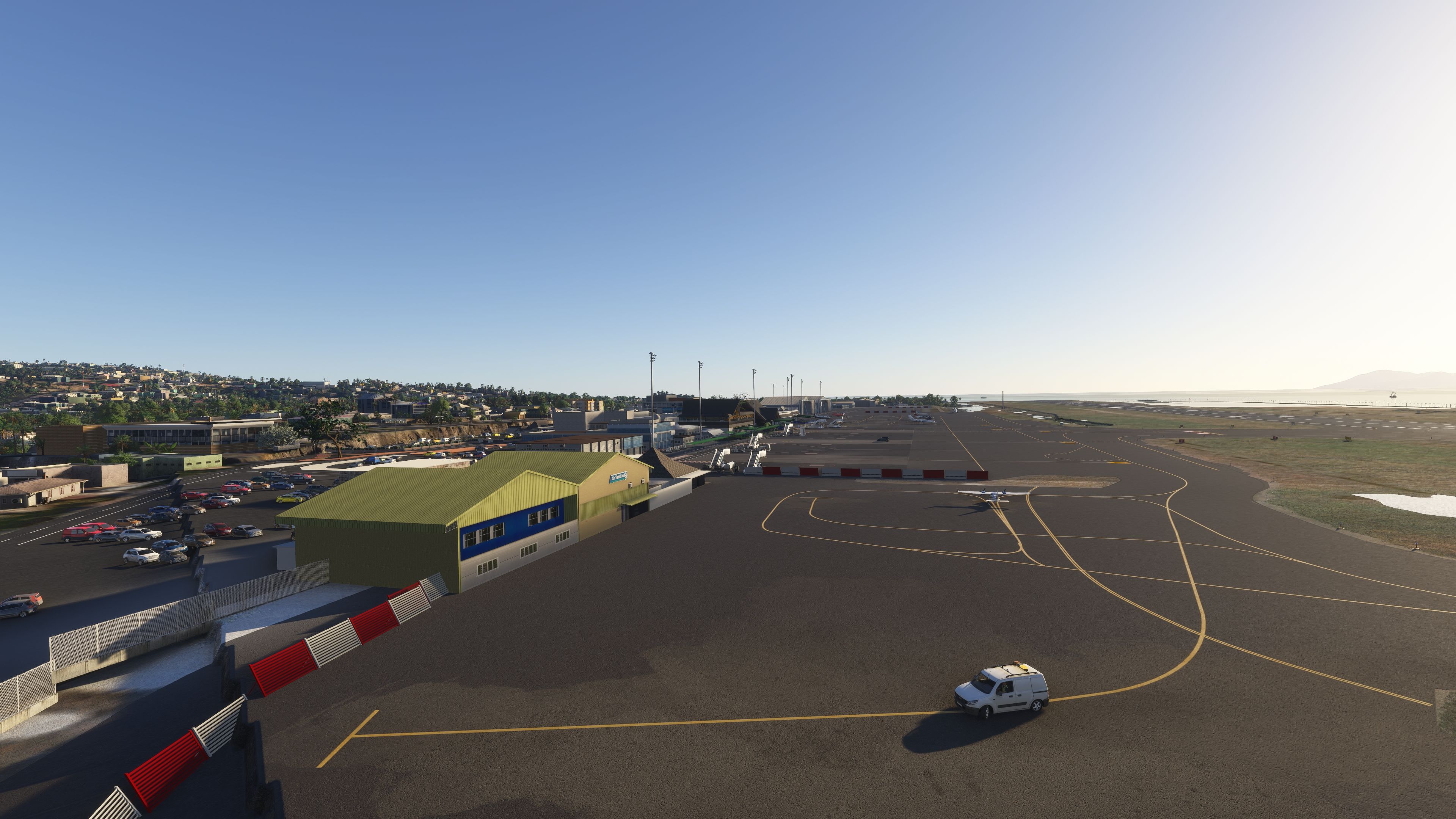
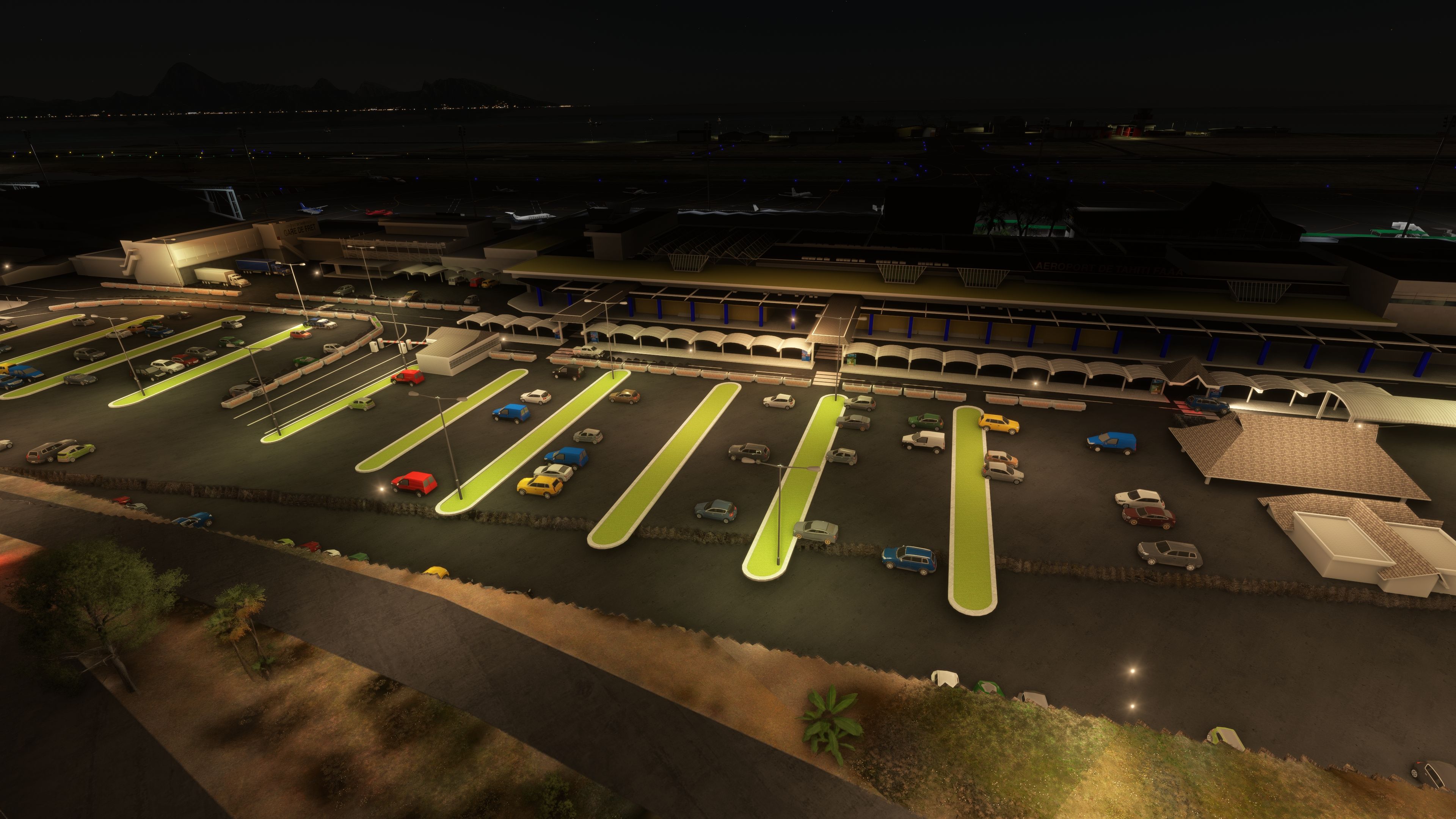
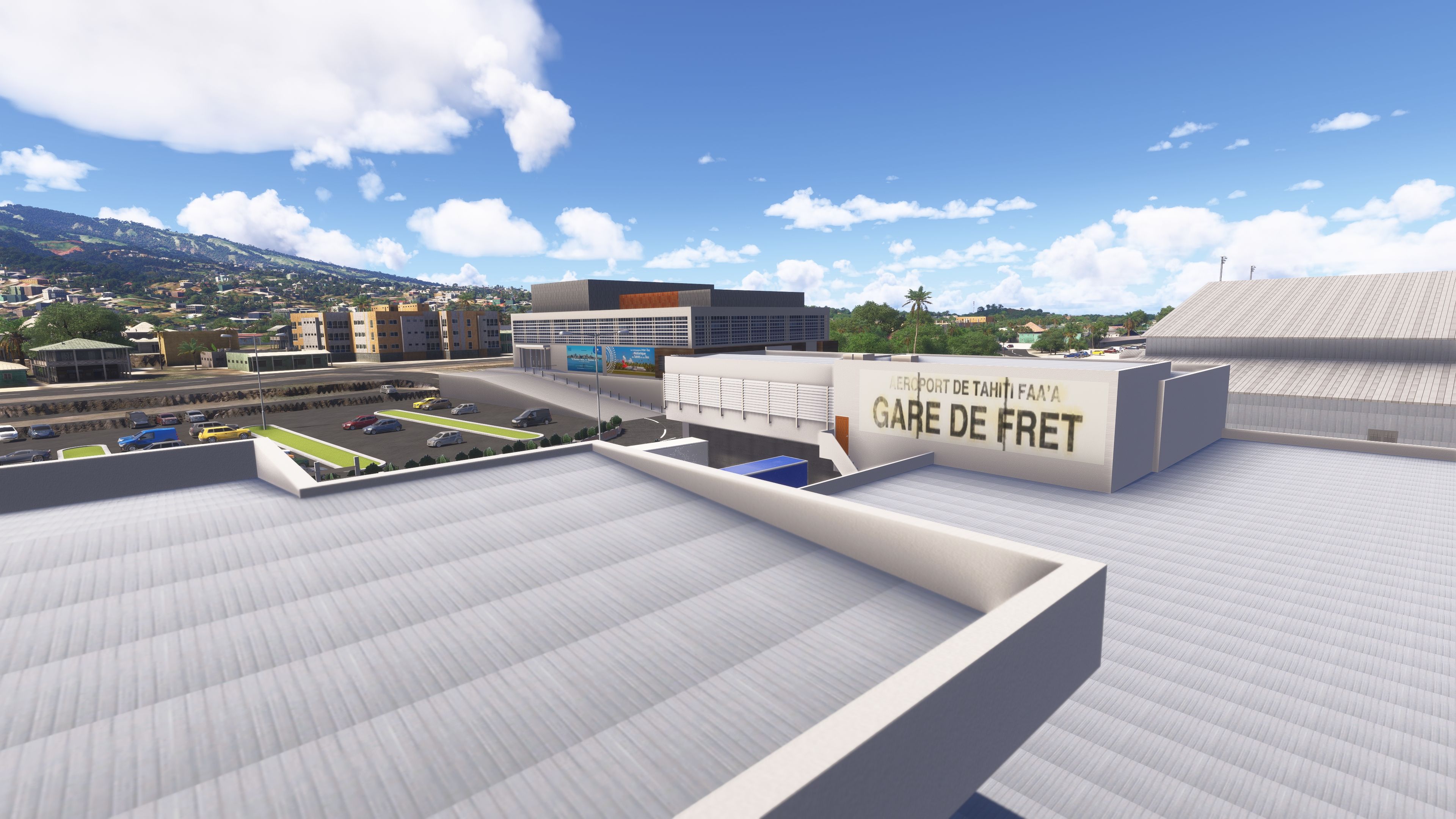
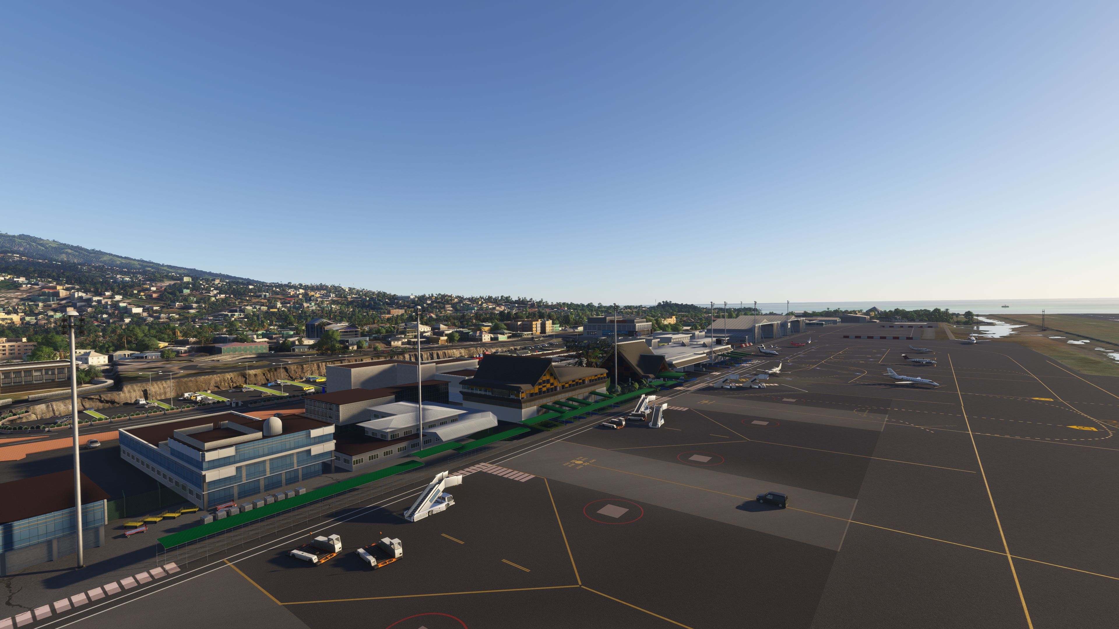
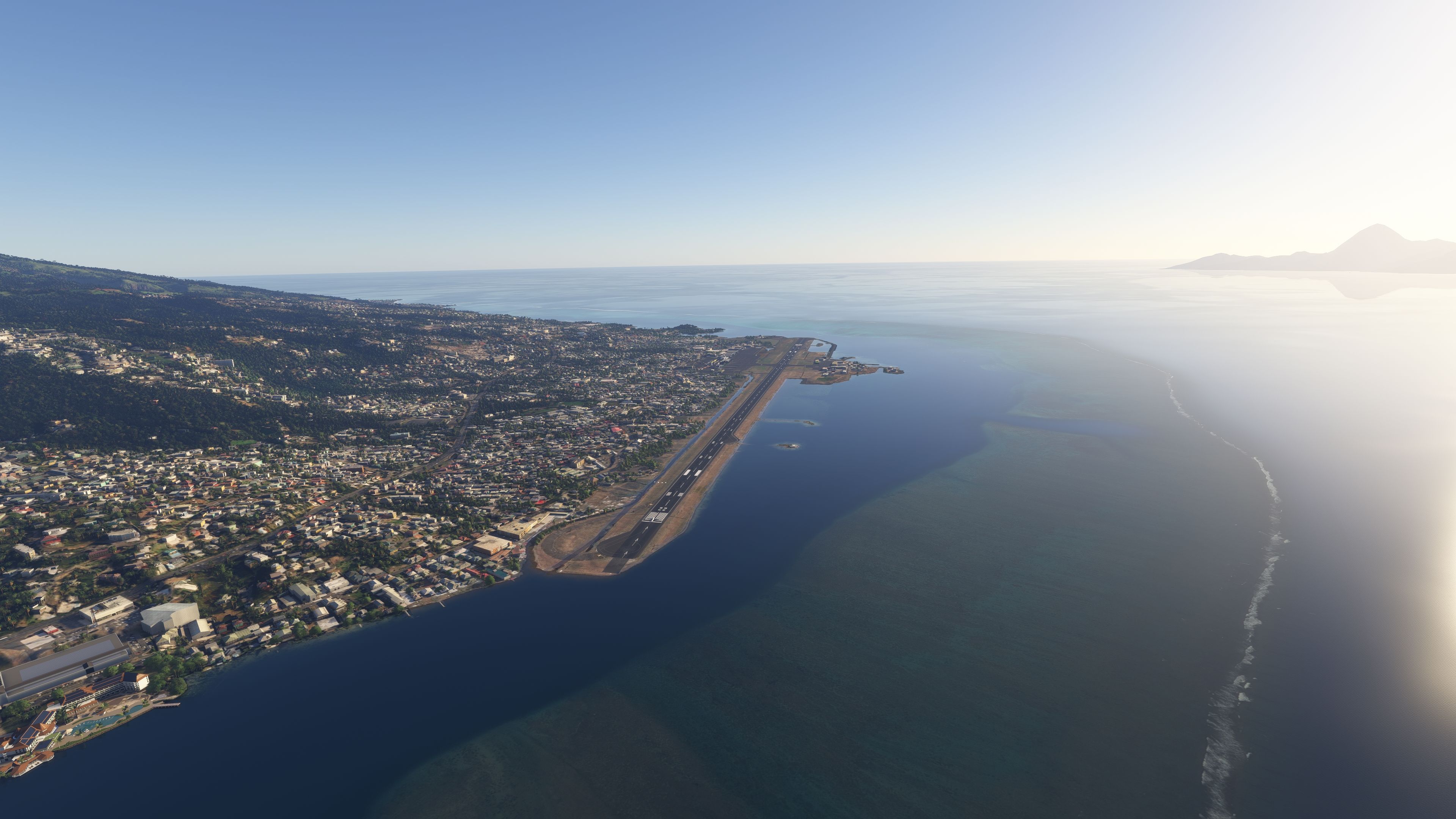
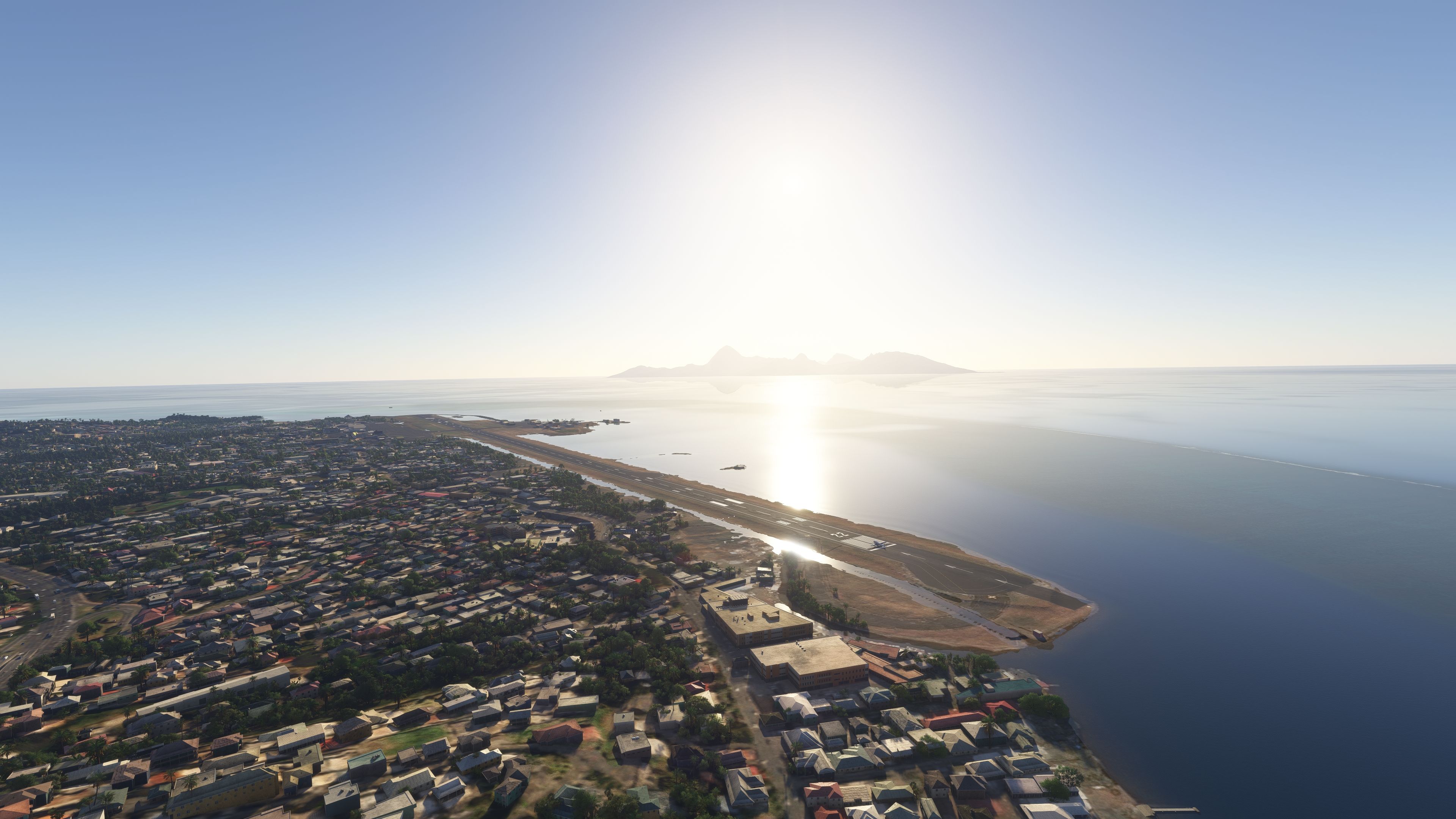
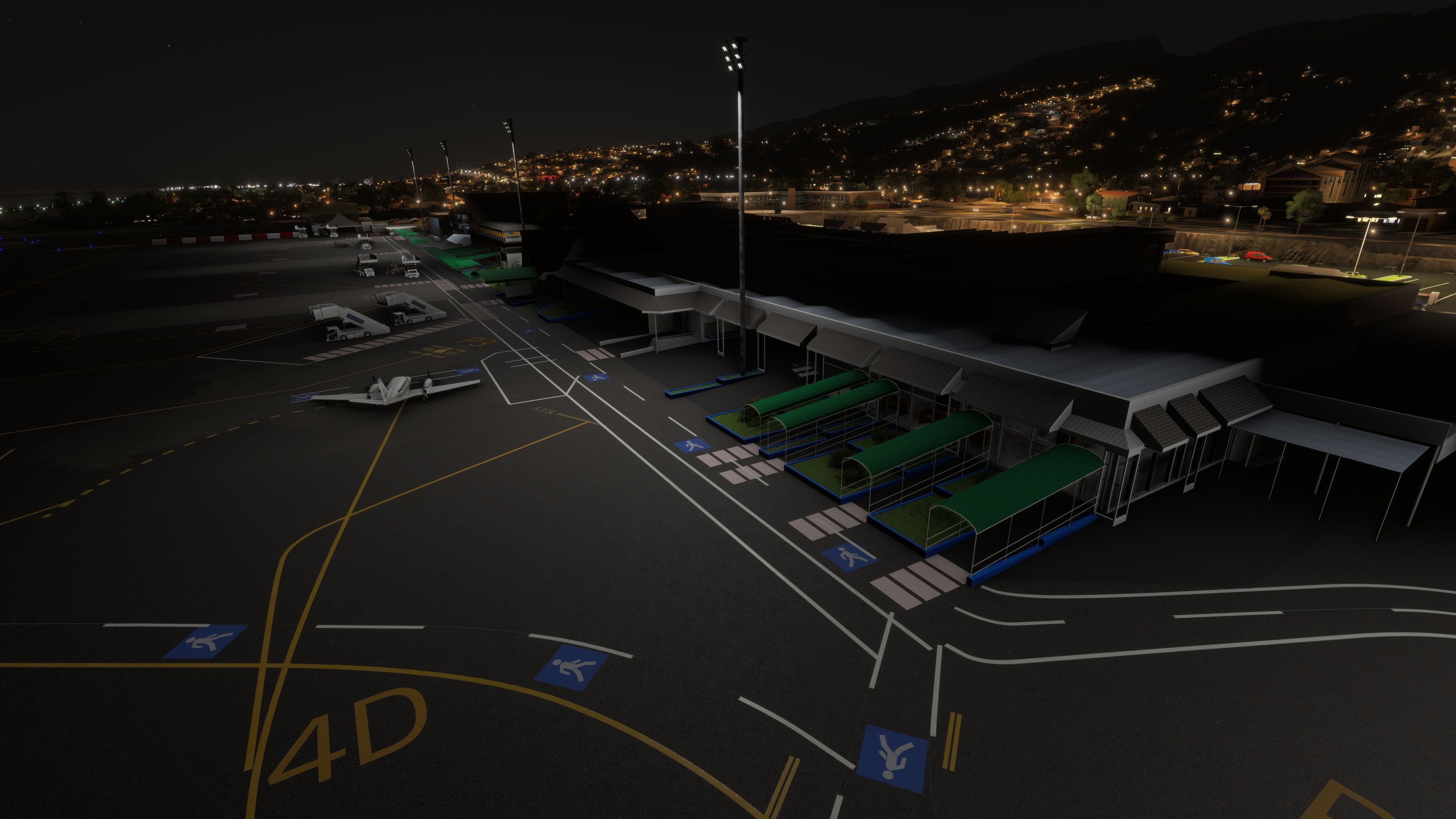
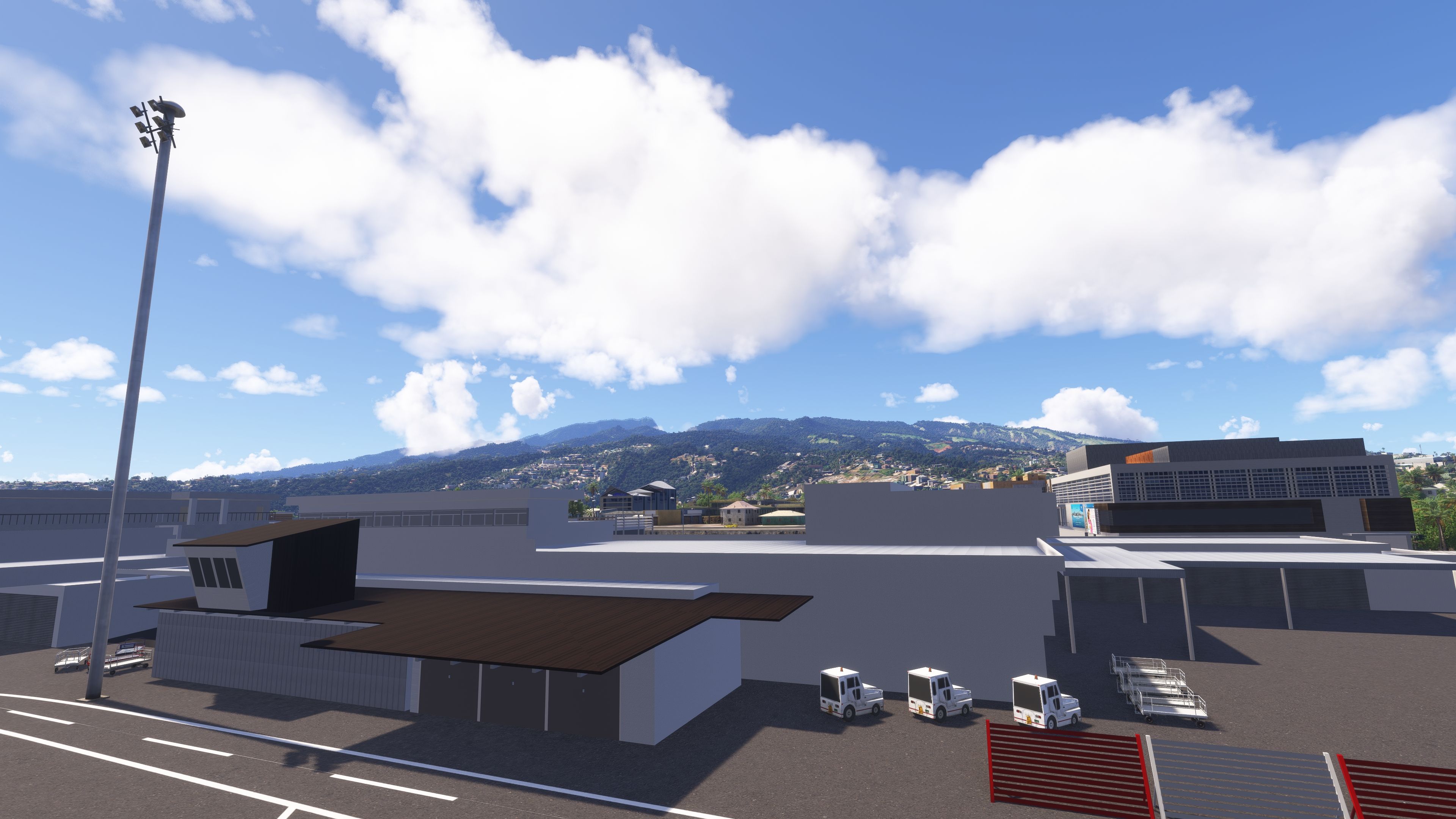
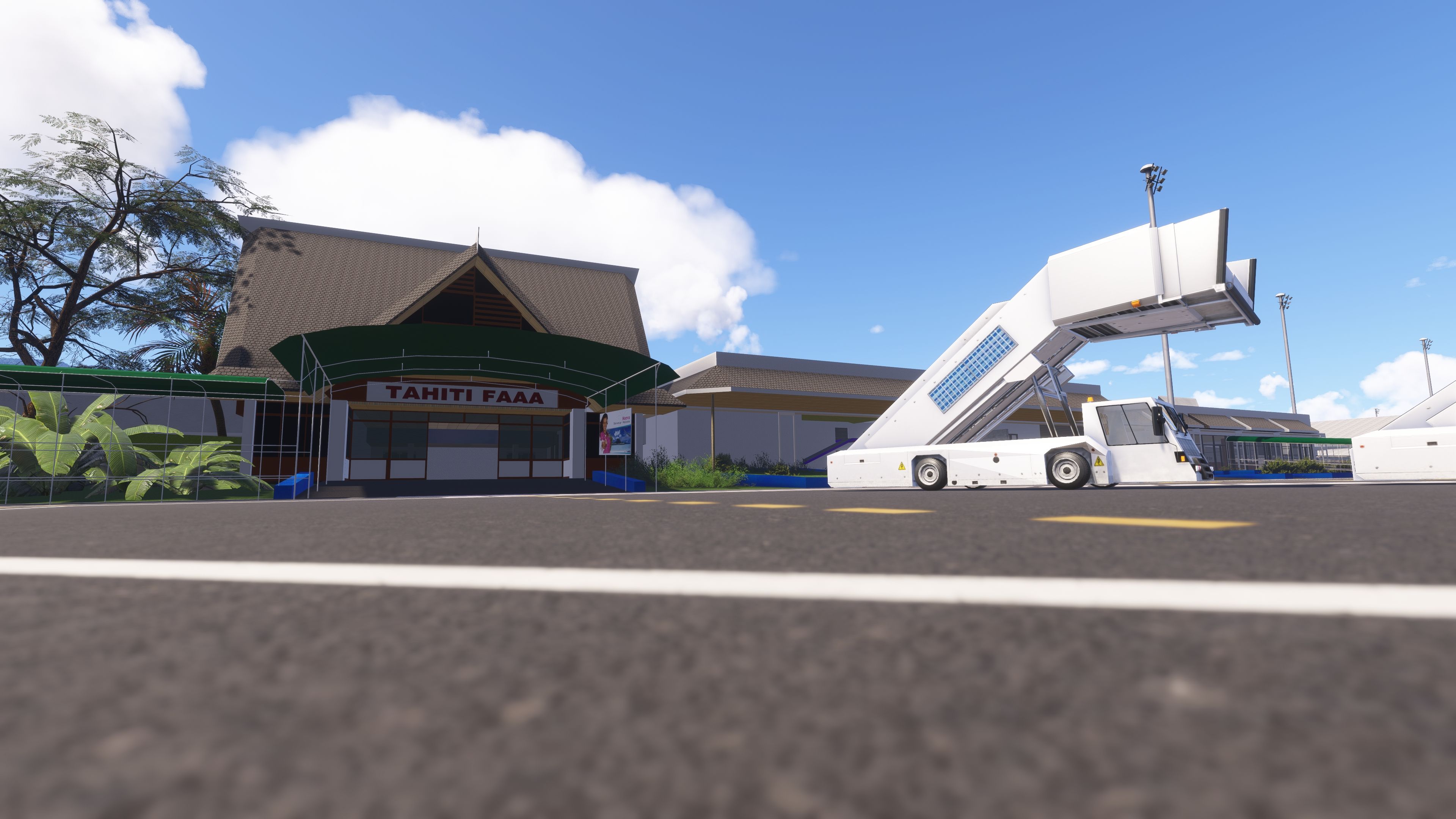
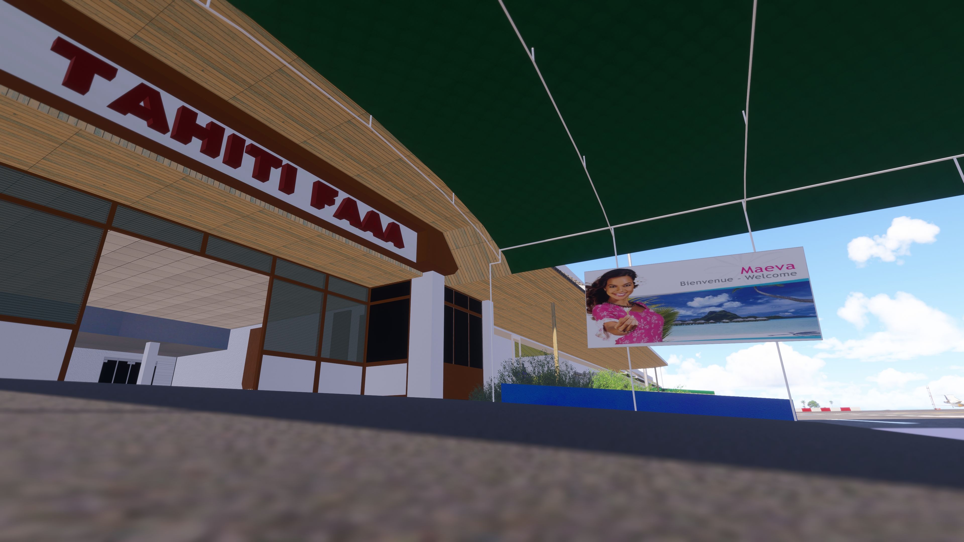
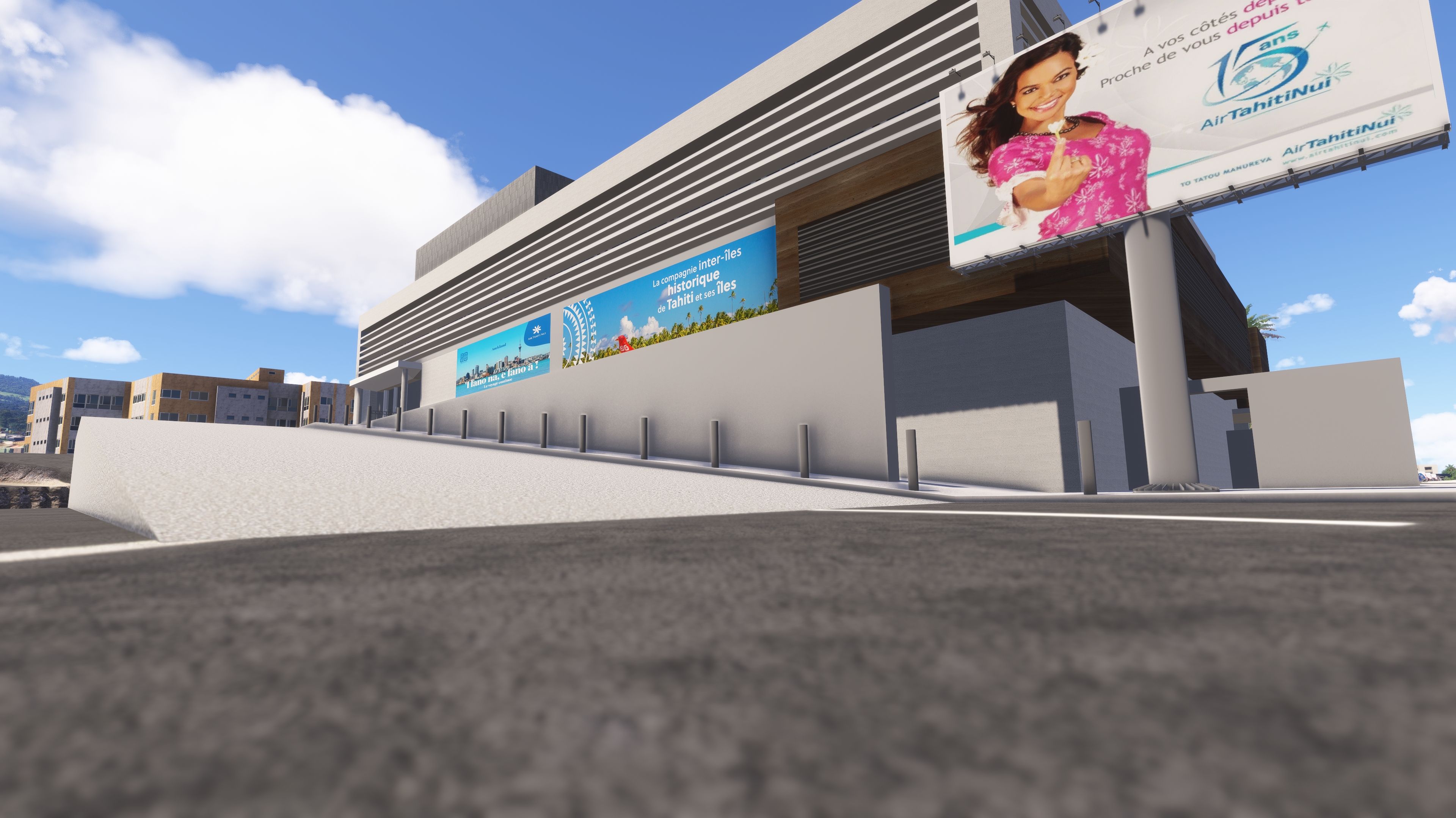
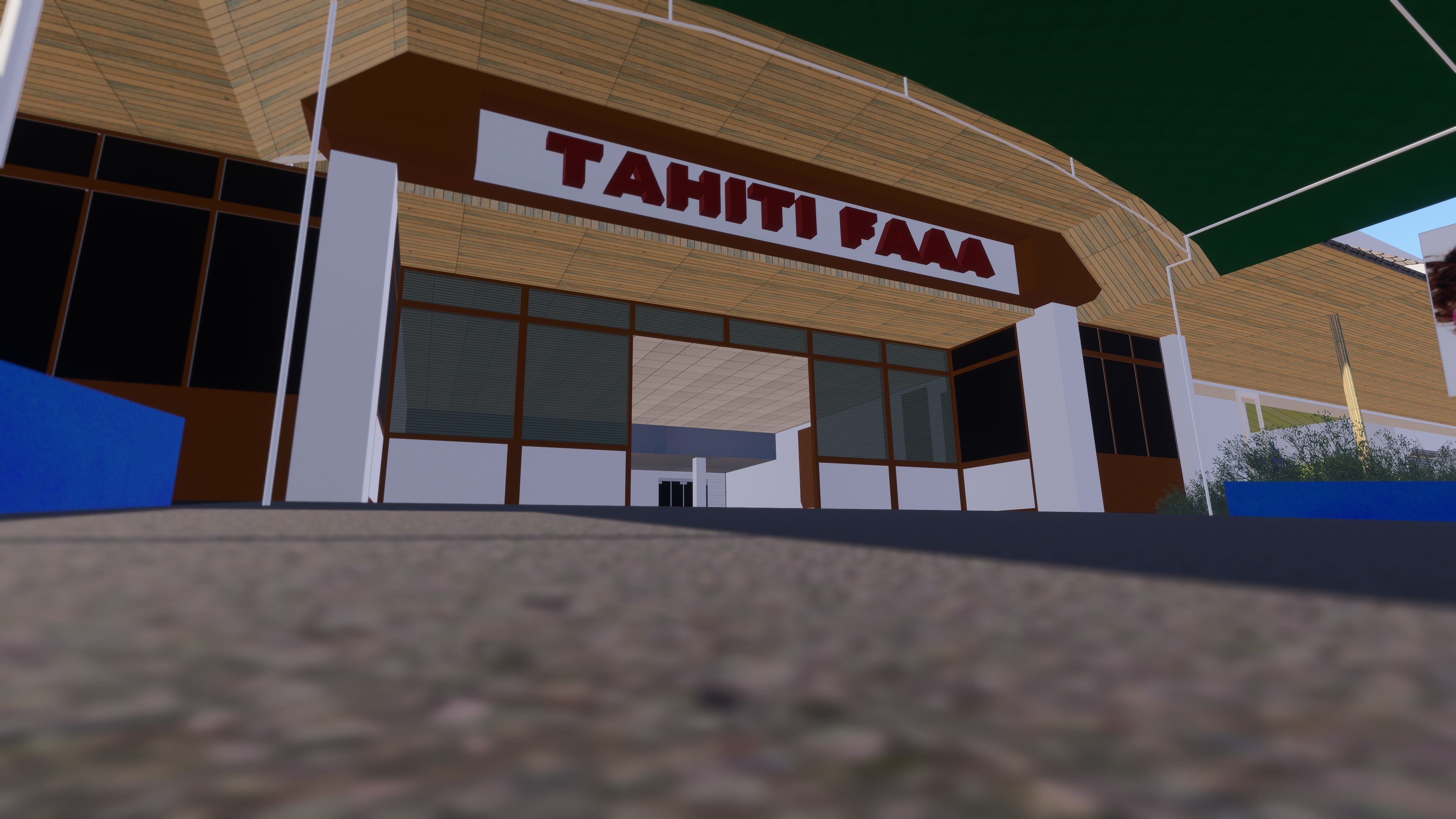
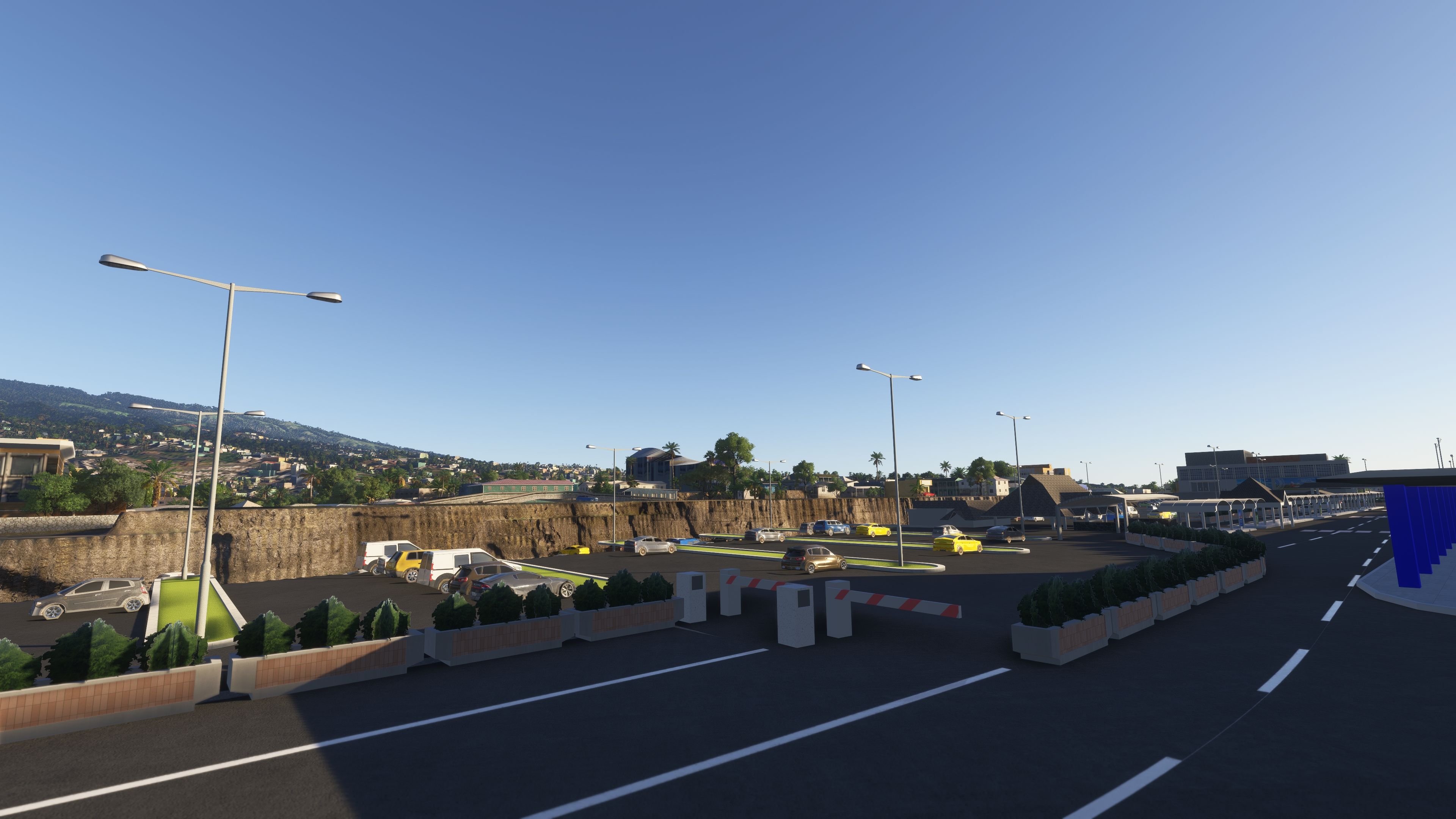
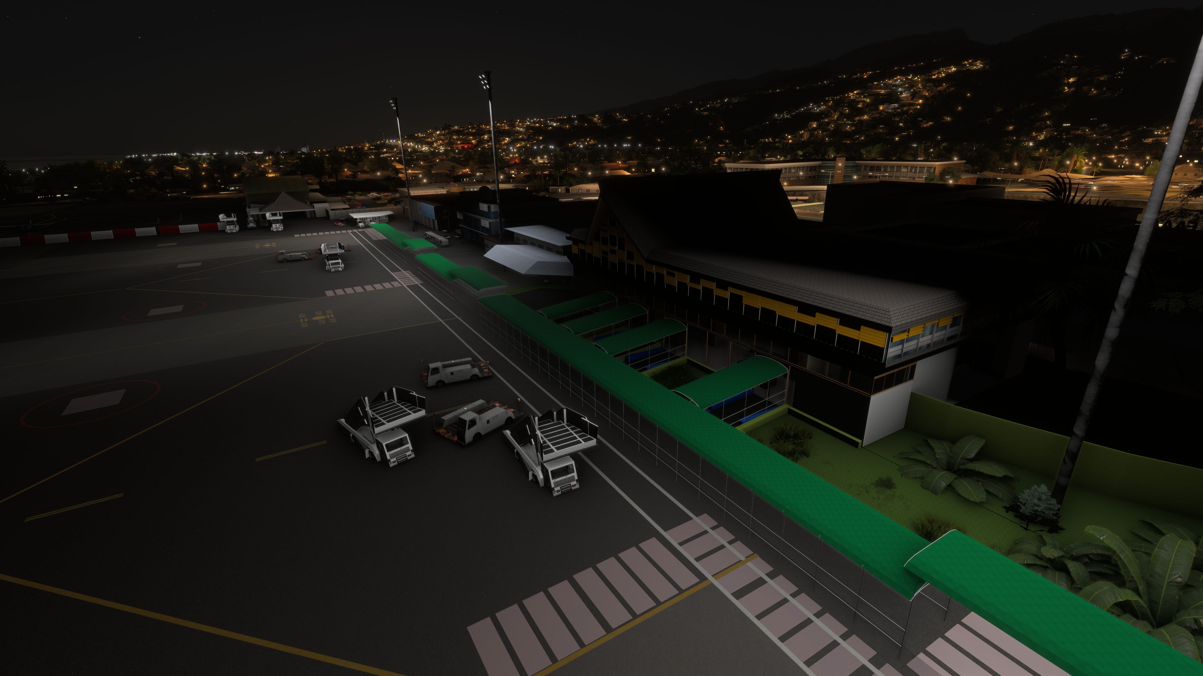
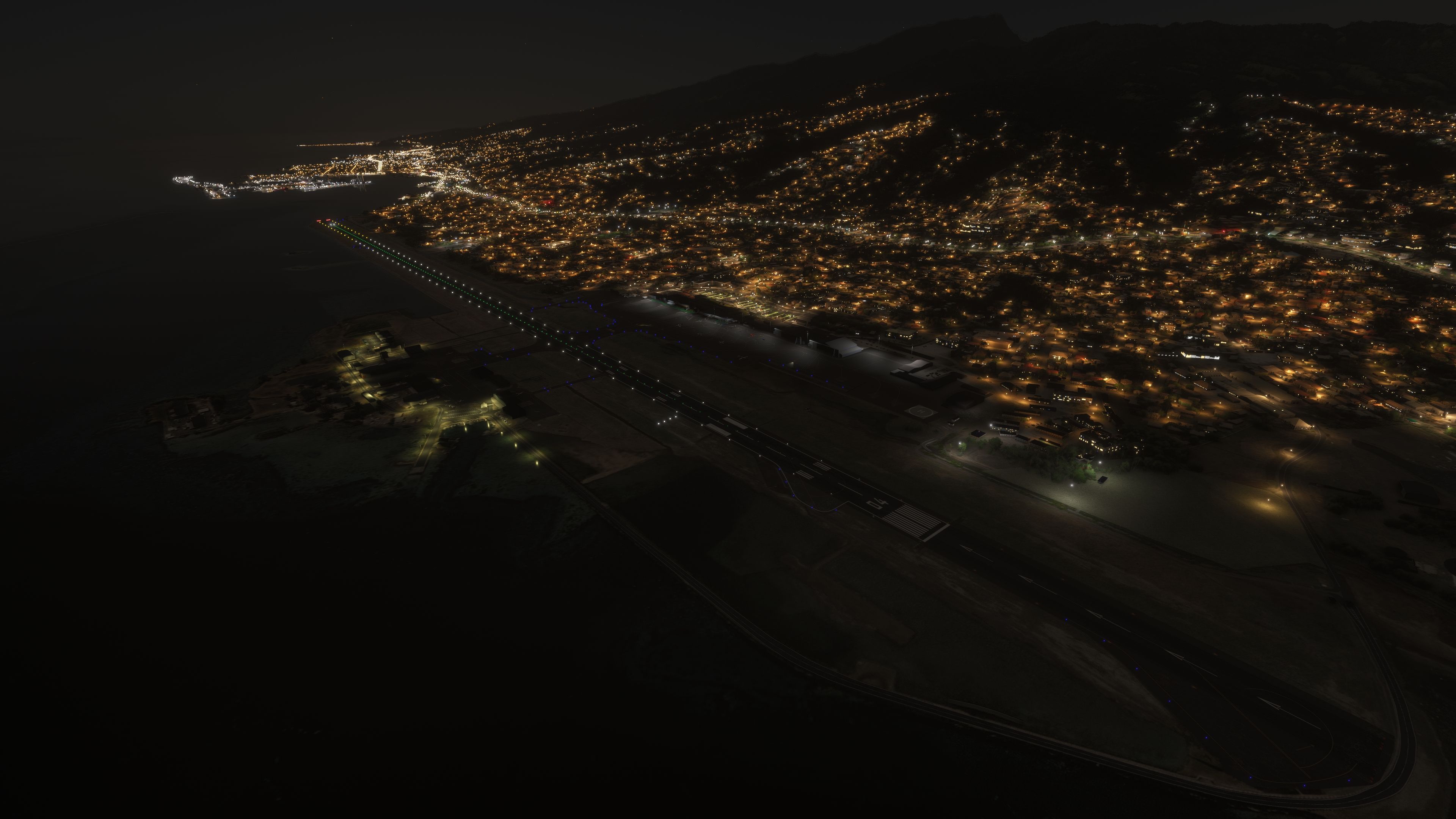
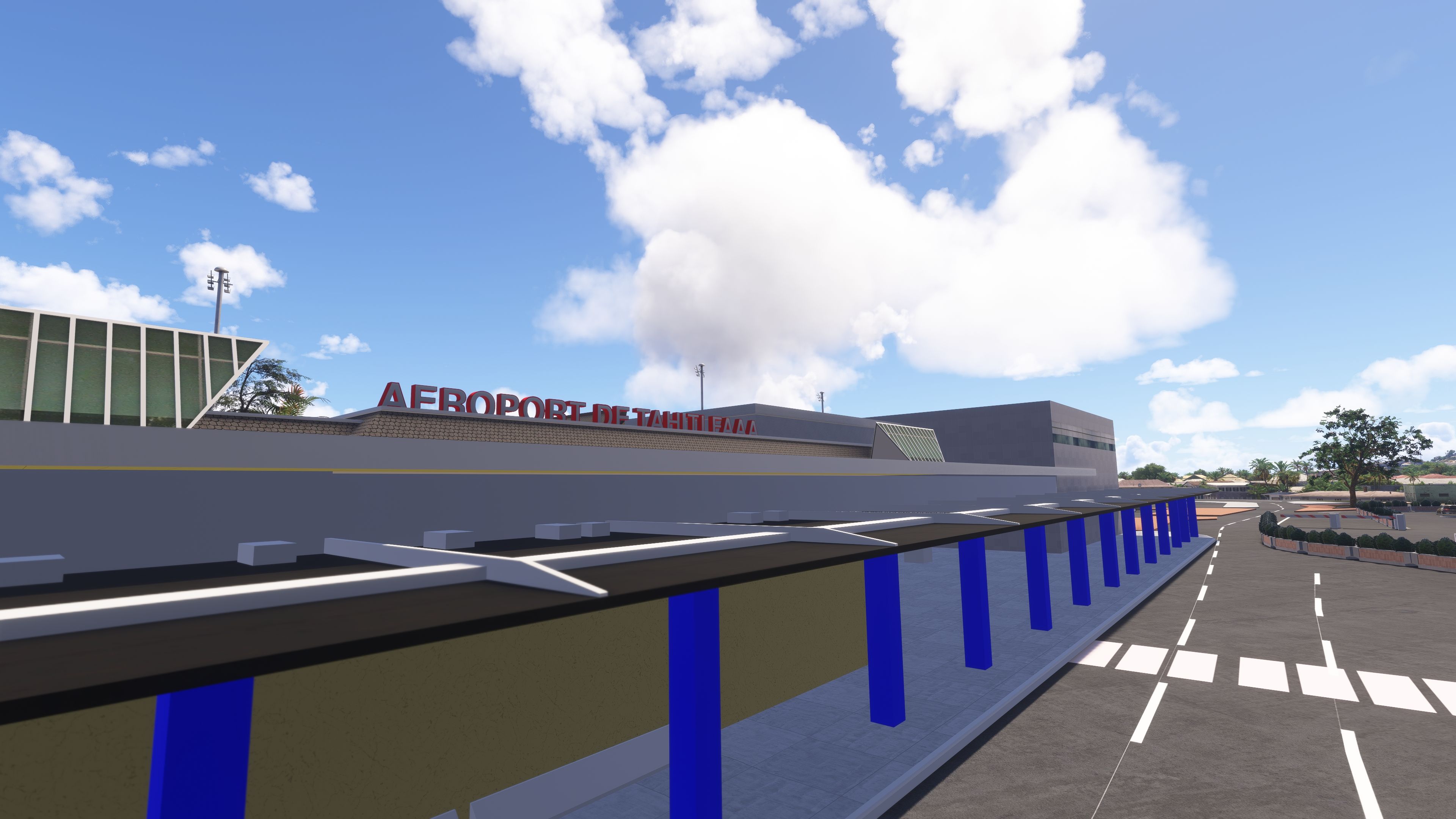
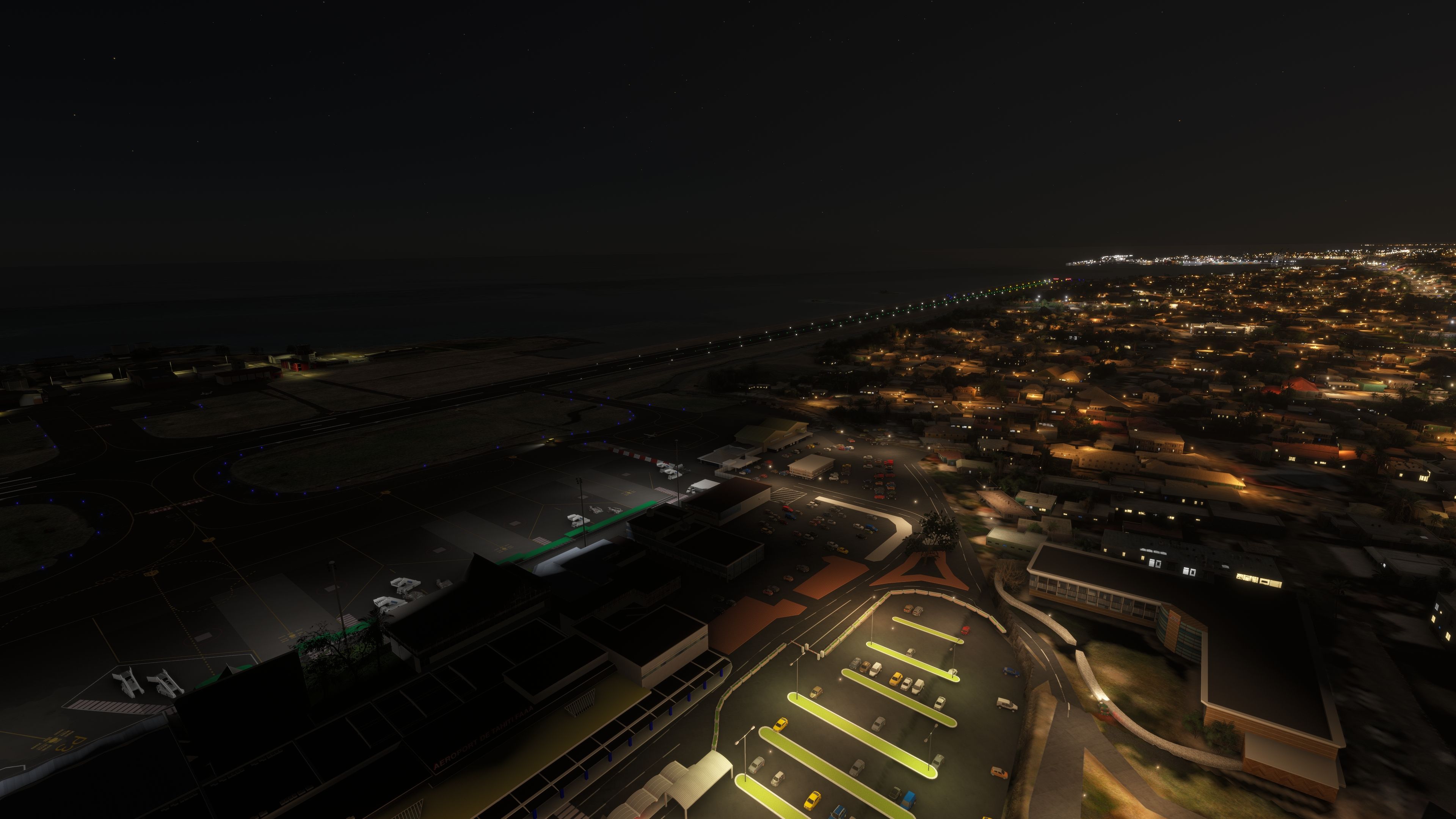
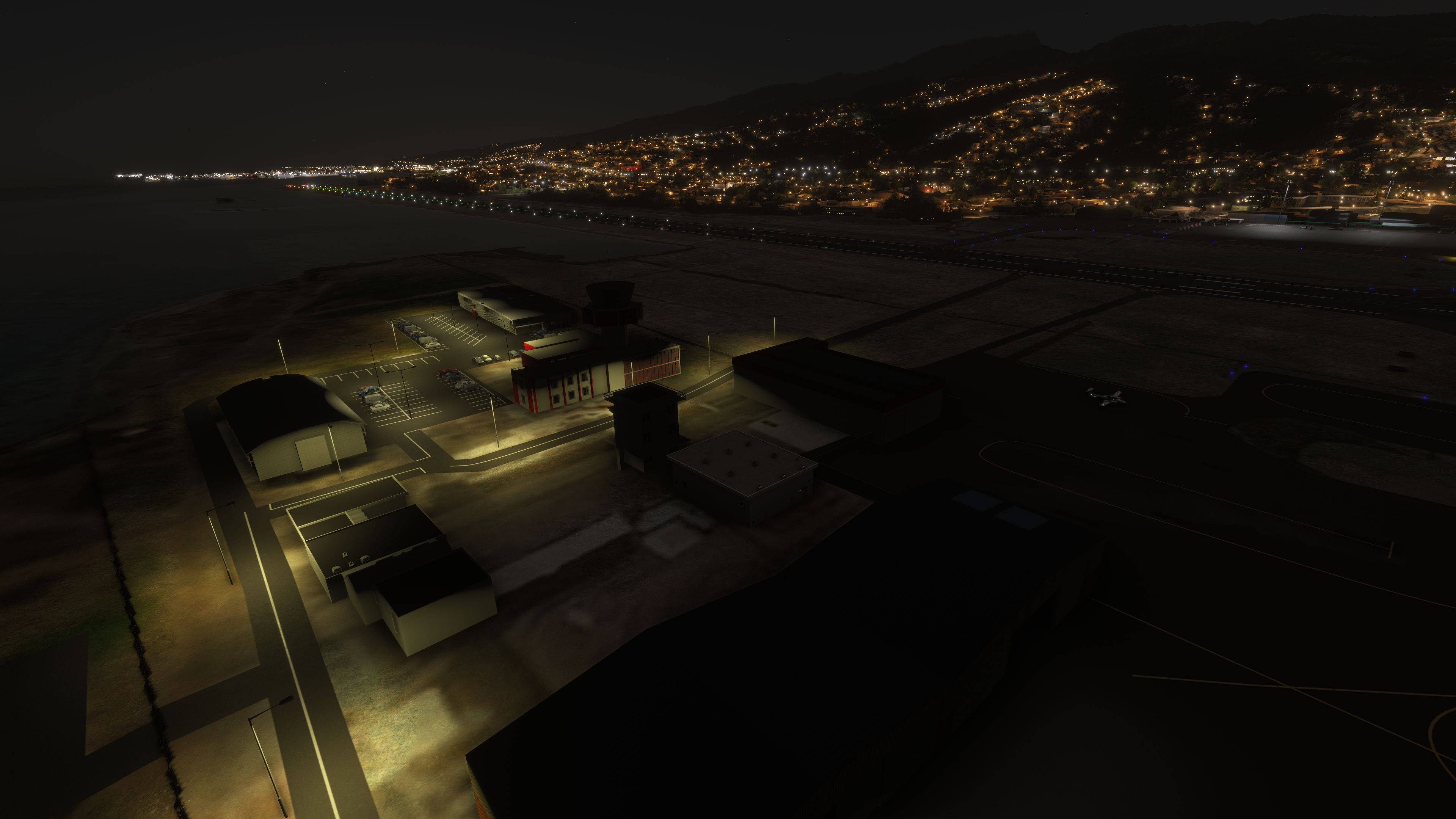
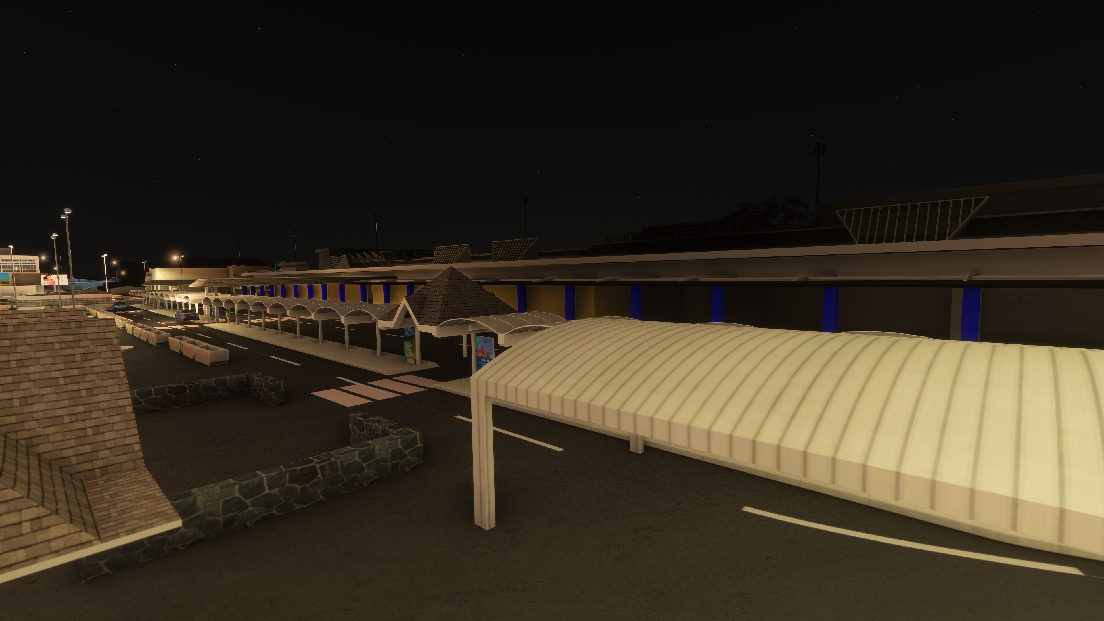
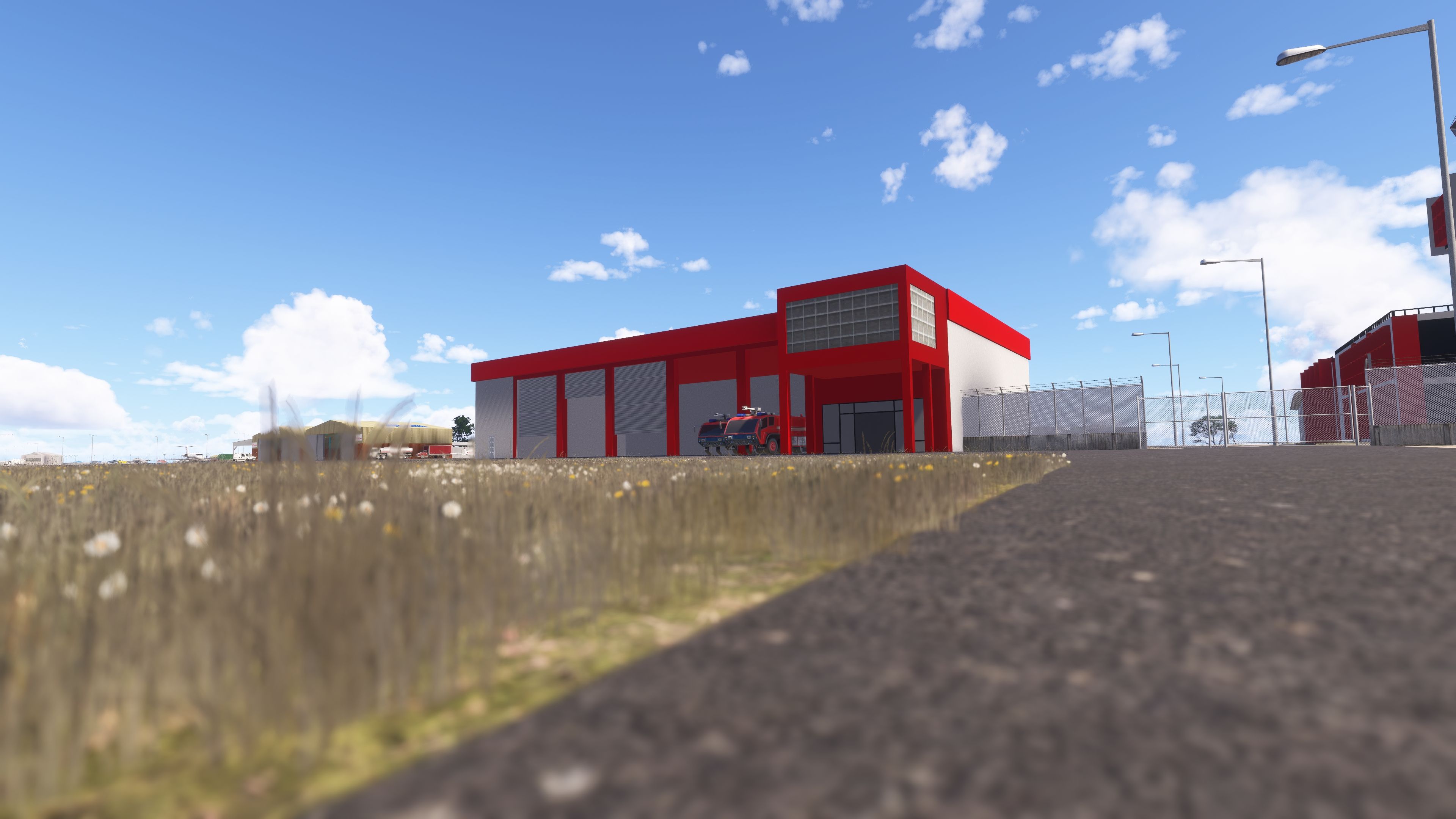
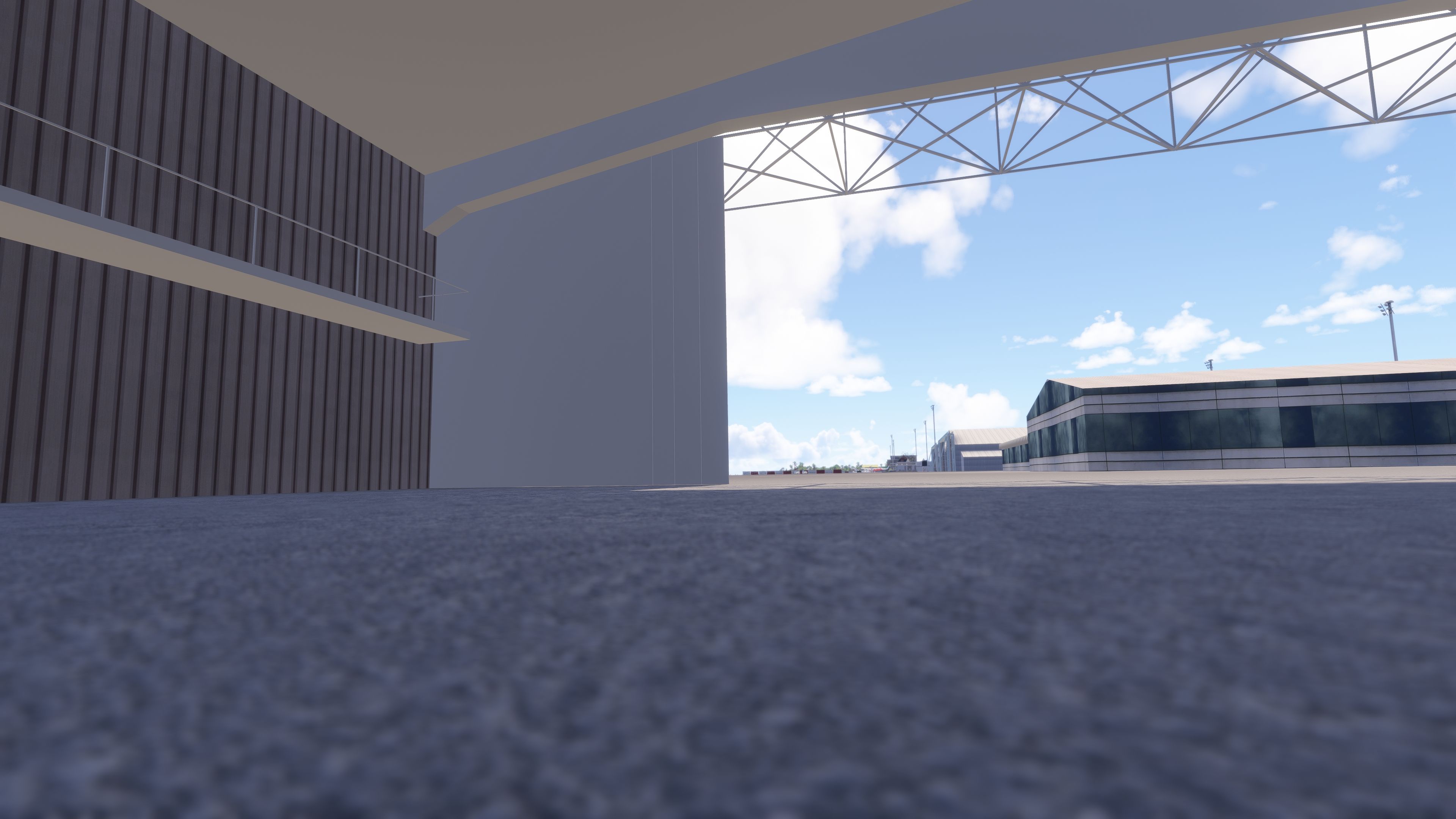
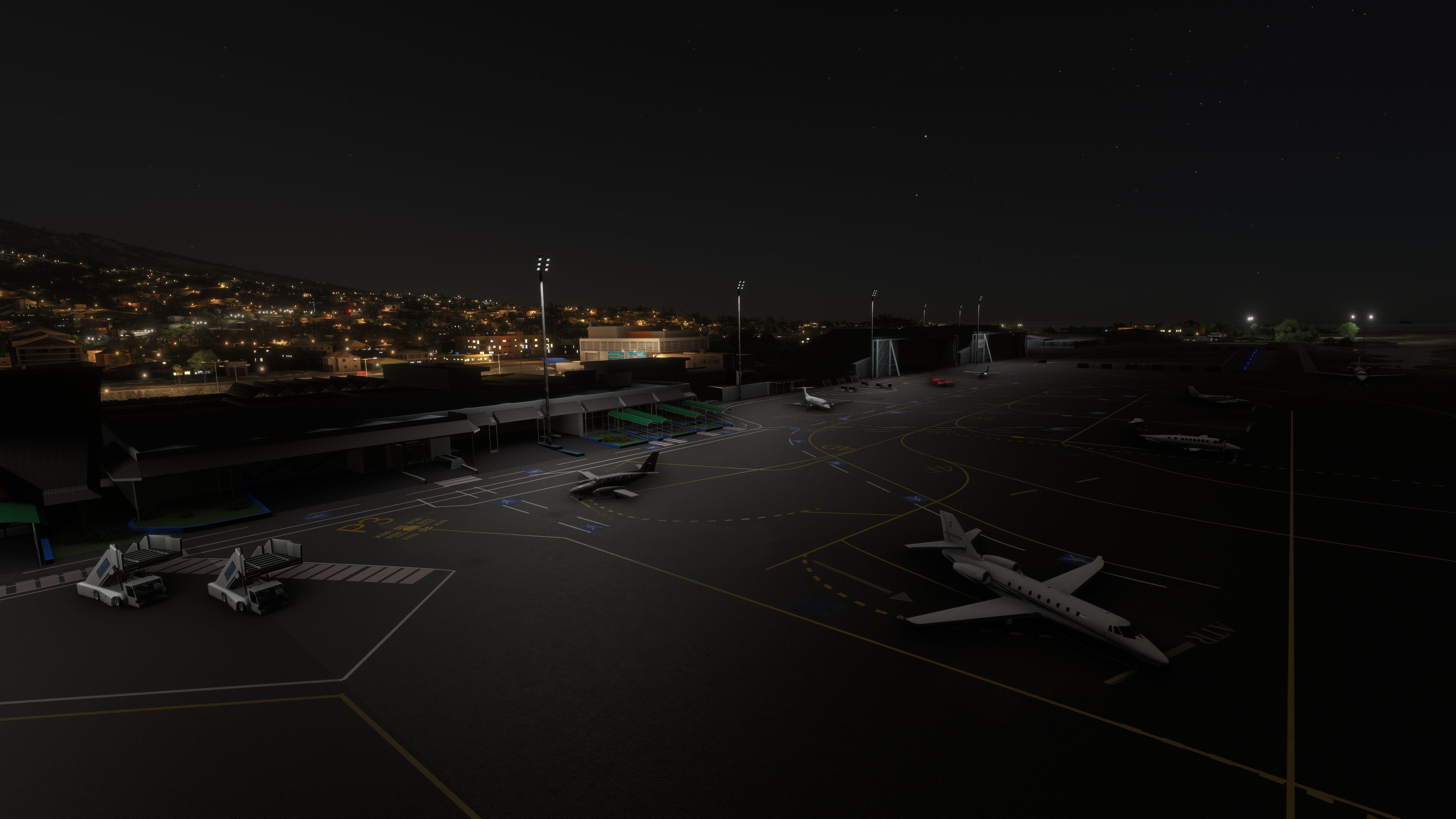
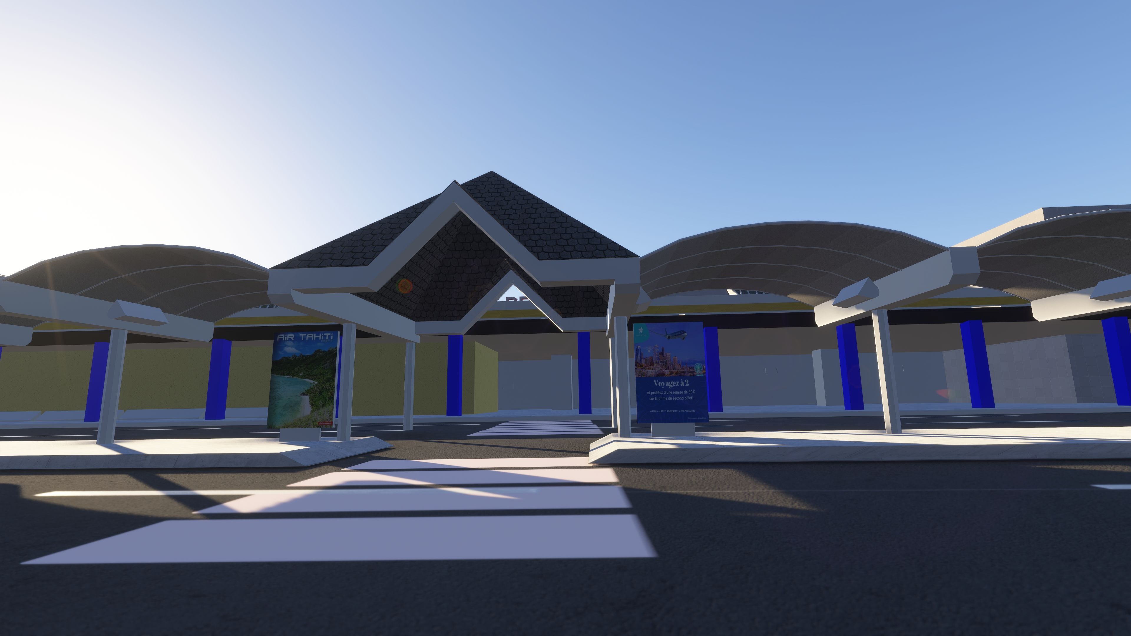
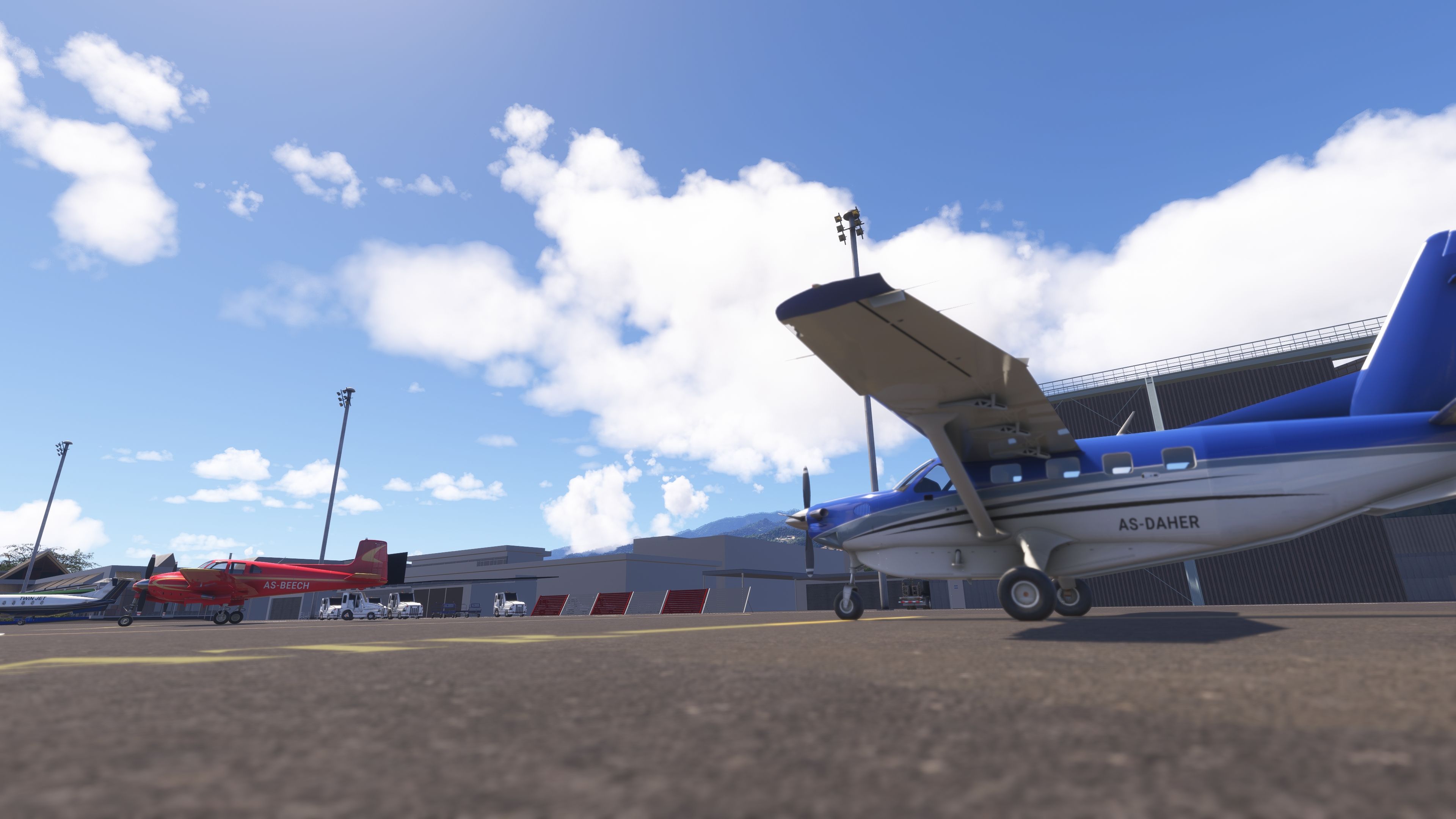
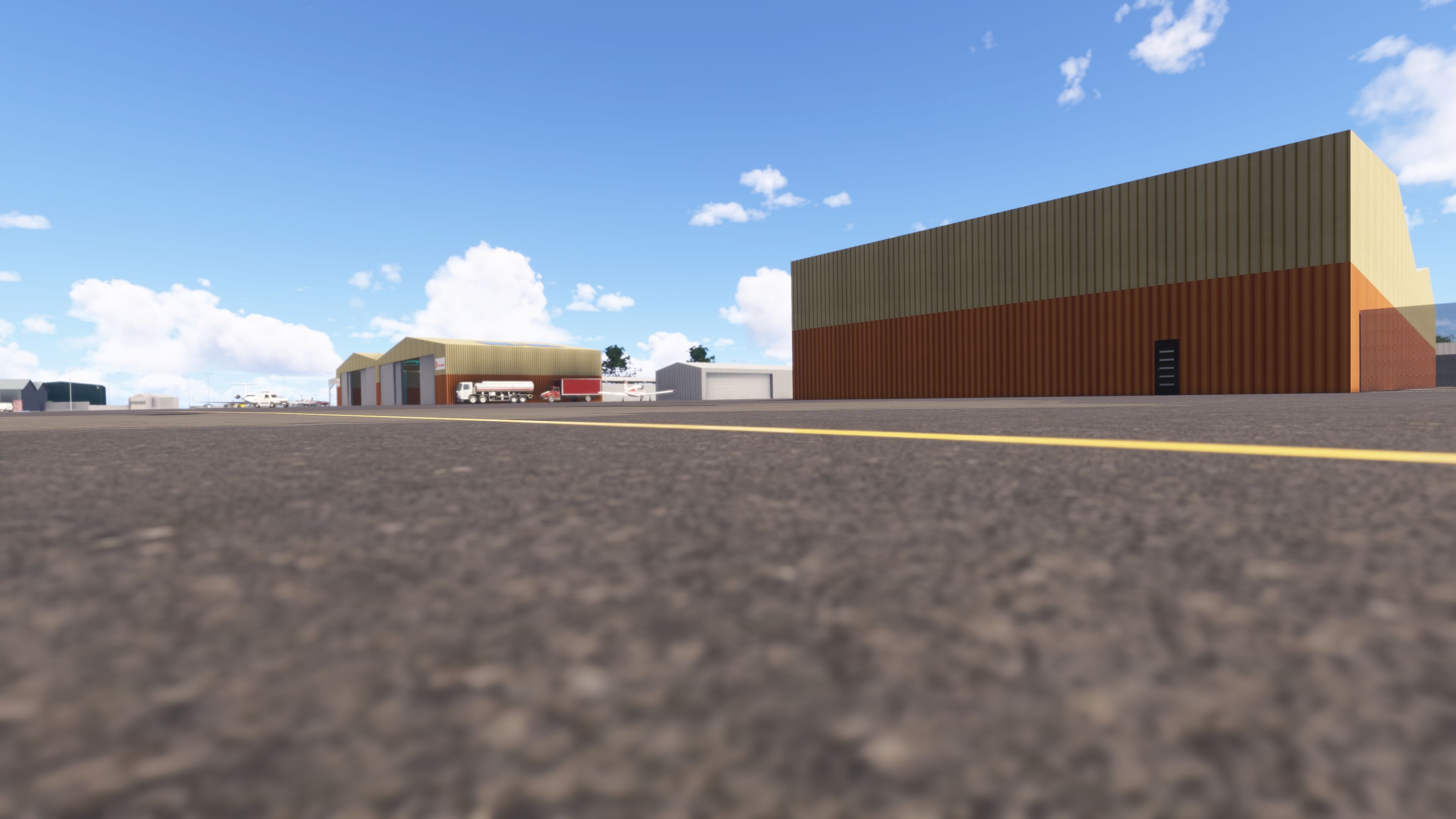

I installed Givenchy’s Faaʻa International Airport in Microsoft Flight Simulator 2024 and flew into NTAA before exploring the apron. The passenger walking zones, ATR stand labels and pavement decals gave the ramp a convincing working-airport character during taxi. Modeled terminal interiors and open northern hangars extend the detail beyond the airline stands, with static GA aircraft and dedicated helicopter facilities broadening the airport’s scope.
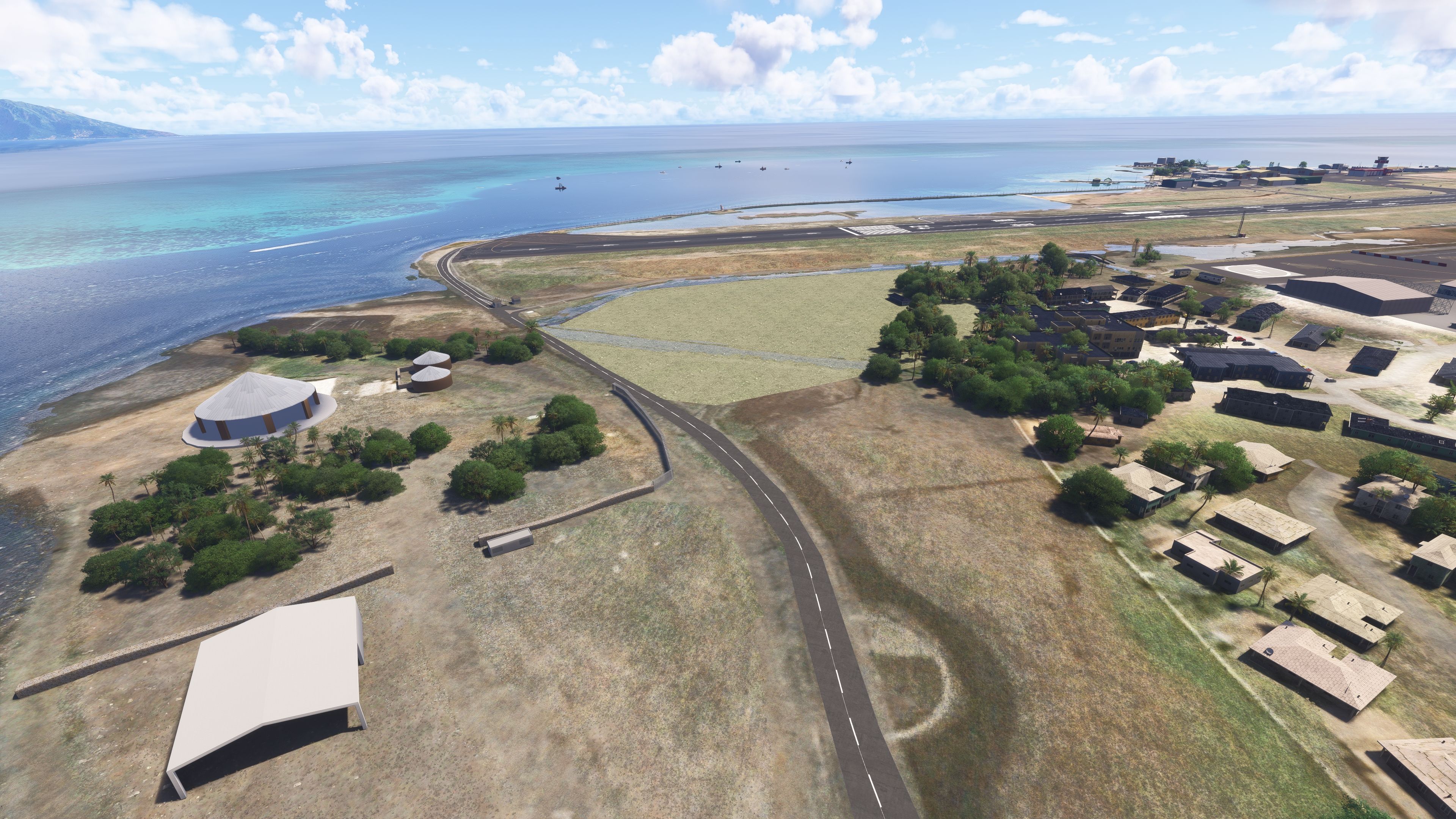
On approach, I found the port buildings and vessels useful visual context for the coastal setting. The scenery includes Motu Uta’s warehouses, tanks and seawall, alongside aerial imagery and revised terrain around the airfield. One limitation worth noting is the coastal watermask: the developer acknowledges that it sits slightly above the ocean, so close inspection can reveal the compromise.
Givenchy’s freeware Faaʻa International Airport (NTAA) scenery brings Tahiti’s international gateway to Microsoft Flight Simulator 2020 and Microsoft Flight Simulator 2024, with detailed terminals, revised airfield layouts, aerial imagery and surrounding Papeete landmarks. The package supports AI traffic and includes both airline and general aviation facilities.
Faaʻa serves domestic and international traffic as French Polynesia’s only international airport. Tahiti lies within the Windward Islands, the eastern group of the Society Islands; with little level ground available, the airport occupies land reclaimed primarily from the offshore coral reef rather than extensive areas of sloping agricultural land.
That setting gives NTAA a distinctive mix of island-hopping and long-haul operations. Air Tahiti provides daily connections to many other French Polynesian islands, alongside a Cook Islands service. The developer also describes international links with Canada, Chile, metropolitan France, Japan, New Zealand and the United States. Accordingly, the scenery accommodates regional aircraft, heavy airliners, helicopters and smaller general aviation types.
Givenchy has reworked the passenger buildings throughout the scenery’s development, including the domestic terminal, international departures building and Air Tetiaroa terminal. Revised textures and reduced polygon counts on selected models accompany these changes, while modeled interiors extend the detail beyond the exterior façades.
The airfield work goes beyond buildings. Givenchy has revised the parking layout, adjusted heavy-aircraft stands and corrected gate dimensions for AI traffic. Further changes cover parking 4, N18 and P.3, including positions 3D, 3E and 3F and their associated markings.
Across the apron, ATR stand labels, passenger walking zones, crosswalks, pedestrian paths and parking signs help distinguish aircraft, passenger and vehicle areas. More localized markings cover stands 4B and 4C, ramp 13, ramps P0, P1 and P2, and the military vehicle area. Baggage-loading trucks at heavy stands, baggage vehicles, air stairs, cars and other apron objects add ground-service detail.
Additional antennas and repositioned equipment refine the airport surroundings. Near Golf taxiway, dedicated spotting-car models replace earlier vehicles; meanwhile, lower-impact fence models around runway 04 and reduced polygon counts on various buildings and objects aim to limit the scenery’s frame-rate cost.
The separate tahiti-aerial component supplies aerial imagery to reduce patchy ground textures, particularly around military areas. Terrain revisions address elevation discrepancies, the Outuarae area near runway 22 and the visibility of rivers around the runway. Other changes remove trees near runway 22, correct parking-area vegetation textures and add bushes around Terminal 1.
Beyond the perimeter, the scenery includes Toʻata Plaza, Paofai Park and the Carrefour Faaʻa supermarket. Sailboats appear around the airport and Papeete, while Motu Uta port includes tanks, warehouses, cargo ships, fishing vessels and a seawall. Later work corrects the seawall texture and adjusts Papeete’s night lighting.
The coastal watermask has also received smoother transitions into the default water. However, Givenchy notes a simulator limitation: the mask sits slightly above the ocean rather than forming part of its surface, so it can look less convincing at close range.
givenchy-ntaa installation before adding its replacement.givenchy-ntaa and tahiti-aerial. If you already have the aerial component from an earlier installation, the developer’s update notes say you do not need to copy it again.AI traffic: Givenchy reports compatibility and testing with FSTL. The revised parking dimensions and stand layouts form part of the work supporting AI operations. However, Beyond ATC may provide incorrect taxi information; you can still use it, but the developer flags this limitation.
Flickering: The developer recommends switching the antialiasing setting to NVIDIA DLSS as a temporary workaround. Earlier release notes also suggest DX12. These recommendations address a known issue rather than confirm a complete fix.
Release information: Version 2.5.2, dated November 7, 2024, replaces a corrupted upload. Its preceding update revises the domestic and Air Tetiaroa terminals, nearby building textures, apron markings, northern hangars, antennas and airport objects, with further polygon reductions to help performance.
Givenchy developed this scenery and granted express permission for Fly Away Simulation to list the freeware package.
Free for all simmers · 801.02 MB · Scanned clean Oct 2026
Download speed: Free tier is capped at 2 Mbps (this file takes approximately 56 mins at the cap). PRO members download at full line speed.
%LOCALAPPDATA%\Packages\Microsoft.FlightSimulator_8wekyb3d8bbwe\LocalCache\Packages\Community\. Steam version: %APPDATA%\Microsoft Flight Simulator\Packages\Community\. Tip: enable Developer Mode in MSFS to see your exact Community folder path.readme.txt or README file. It tells you exactly where files go, what dependencies are needed, and any quirks specific to this add-on.Use these coordinates to fly directly to this location once the mod is installed.
-17.55370000,-149.60670000
Paste these coordinates into the Microsoft Flight Simulator search bar when planning a flight, or into the Developer Mode Teleport window, to fly directly to this location.
Only PRO members can place votes.
More MSFS add-ons hand-picked based on this download.
MSFS Scenery
A fun and detailed recreation of North Korea's Pyongyang International Airpor…
 MSFS Scenery
Introducing a meticulously crafted addition to the Microsoft Flight Simulator…
 MSFS Scenery
Introducing the meticulously crafted Ciudad Juárez International Airport (MMC…
 MSFS Scenery
This mod developed by JustOkayPilot brings Grand Canyon National Park Airport…
 MSFS Scenery
Sandane Airport (ENSD) is located on the beautiful west coast of Norway and i…
 MSFS Scenery
Enhance your flight simulation experience with this mod for Microsoft Flight …
 MSFS Scenery
The Disney World airport/STOLport (also known as the Lake Buena Vista airport…
 MSFS Scenery
Enhance your flight simulation experience with a detailed rendition of Madrid…
Be the first to leave a comment on this download.
Be the first to share your thoughts on this download.