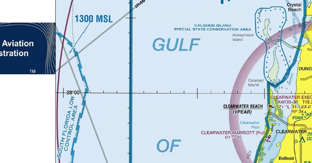
Official FAA digital chart — free GeoTIFF and PDF download
| Format | What you get | Size | |
|---|---|---|---|
| GeoTIFF | Georeferenced raster at 300 dpi, with world file and FGDC metadata | 48.3 MB | Download |
| Print-ready chart, no georeferencing | 96.5 MB | Download |
Not for navigation. For flight simulation and reference use only. Check the effective dates above, and obtain official charts from the FAA for real-world flight.

These are big files. This chart alone is 96.5 MB. Guest downloads are rate limited; PRO members get full-speed, unthrottled downloads across every chart and all 24,000+ add-ons in the library.
Go PROTampa Bay, its surrounding peninsulas and the broad sweep of Florida’s central Gulf coast anchor this sheet. Coverage extends offshore into the Gulf of Mexico, then east across the Tampa urban area and the low interior towards the western side of Orlando. To the south it includes the Sarasota area and adjoining inland country; to the north it reaches beyond Tampa Bay into west-central Florida.
The landscape shifts quickly from open water and a deeply indented shoreline to dense development, wetlands, farmland and lake-dotted interior terrain. Barrier islands, bays and coastal inlets give the western side a distinctive shape, while the eastern half is defined by Florida’s notably flat land and numerous inland waters. The result is a compact regional view linking the Gulf coast with the busy Tampa–Orlando corridor, rather than a sheet centred on a single metropolitan area.
| ID | Airport | City | Elev | Rwys | Longest |
|---|---|---|---|---|---|
| KTPA TPA | Tampa Intl | TAMPA, FL | 26 ft | 3 | 11,002 ft |
| KPIE PIE | St Pete-Clearwater Intl | ST PETERSBURG-CLEARWATER, FL | 10 ft | 2 | 9,730 ft |
| KSRQ SRQ | Sarasota/Bradenton Intl | SARASOTA/BRADENTON, FL | 29 ft | 2 | 9,500 ft |
| KLAL LAL | Lakeland Linder Intl | LAKELAND, FL | 141 ft | 3 | 8,500 ft |
| KBKV BKV | Brooksville-Tampa Bay Rgnl | BROOKSVILLE, FL | 76 ft | 2 | 7,001 ft |
| KZPH ZPH | Zephyrhills Muni | ZEPHYRHILLS, FL | 89 ft | 2 | 6,201 ft |
| X07 | Lake Wales Muni | LAKE WALES, FL | 126 ft | 2 | 5,400 ft |
| KAVO AVO | Avon Park Exec | AVON PARK, FL | 160 ft | 2 | 5,374 ft |
| KGIF GIF | Winter Haven Rgnl | WINTER HAVEN, FL | 145 ft | 2 | 5,005 ft |
| KBOW BOW | Bartow Exec | BARTOW, FL | 124 ft | 3 | 5,001 ft |
| KVDF VDF | Tampa Exec | TAMPA, FL | 21 ft | 2 | 5,000 ft |
| KCLW CLW | Clearwater Exec | CLEARWATER, FL | 71 ft | 1 | 4,108 ft |
| KCHN CHN | Wauchula Muni | WAUCHULA, FL | 107 ft | 1 | 4,005 ft |
| KPCM PCM | Plant City | PLANT CITY, FL | 152 ft | 1 | 3,950 ft |
| X05 | Pilot Country | BROOKSVILLE, FL | 80 ft | 1 | 3,700 ft |
| KSPG SPG | Albert Whitted | ST PETERSBURG, FL | 6 ft | 2 | 3,676 ft |
| KTPF TPF | Peter O Knight | TAMPA, FL | 7 ft | 2 | 3,583 ft |
| X39 | Tampa North Aero Park | TAMPA, FL | 68 ft | 1 | 3,541 ft |
| 48X | Manatee | PALMETTO, FL | 27 ft | 1 | 3,120 ft |
| X49 | South Lakeland | LAKELAND, FL | 110 ft | 1 | 2,412 ft |
| X25 | Chalet Suzanne Air Strip | LAKE WALES, FL | 130 ft | 1 | 2,313 ft |
21 public-use airports within this chart's coverage, ordered by runway length. A further 44 private and restricted landing facilities are not listed. Source: FAA NASR 28-day subscription.
Approach plates and airport diagrams for every airport in the states this sheet covers:
It spans 27.3°N to 28.7°N and 83.1°W to 81.5°W. Airports on the sheet fall within Florida. The full list of public-use airports within its coverage is on this page.
Take the GeoTIFF if you are loading the chart into moving-map software or a flight planner — it is georeferenced, so the software can place it correctly on a map, and it ships with a world file and FGDC metadata at 300 dpi (48.3 MB). Take the PDF to print it or read it on a second screen (96.5 MB); it is the same chart without georeferencing.
This is the FAA edition effective 3 September 2026, which is superseded on 29 October 2026. Visual charts are reissued every 56 days and we publish each new edition on the day it takes effect. It is for flight simulation and reference only — not for real-world navigation.
Yes, with no account required. FAA charts are United States Government works and are not subject to copyright protection in the US under 17 U.S.C. § 105. Guest downloads are speed-capped, so a sheet this size takes a while; PRO members download at full line speed and can take the whole family as one archive.

FAA public-domain products, mirrored unmodified. Fly Away Simulation is not affiliated with or endorsed by the FAA. Chart licensing and terms.

