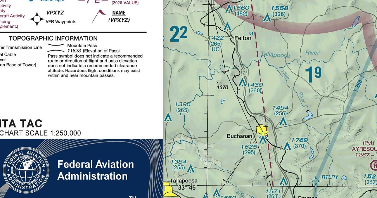
Official FAA digital chart — free GeoTIFF and PDF download
| Format | What you get | Size | |
|---|---|---|---|
| GeoTIFF | Georeferenced raster at 300 dpi, with world file and FGDC metadata | 32.7 MB | Download |
| Print-ready chart, no georeferencing | 67.3 MB | Download |
Not for navigation. For flight simulation and reference use only. Check the effective dates above, and obtain official charts from the FAA for real-world flight.

These are big files. This chart alone is 67.3 MB. Guest downloads are rate limited; PRO members get full-speed, unthrottled downloads across every chart and all 24,000+ add-ons in the library.
Go PROAtlanta’s metropolitan core sits near the centre of a sheet extending from eastern Alabama across north-central Georgia. Its northern edge reaches into the southern Appalachian foothills, where ridges begin to break up the landscape; farther south and east, the terrain settles into the rolling Georgia Piedmont. Reservoirs, river corridors and the contrast between continuous urban development and wooded countryside provide useful visual structure for simulated VFR flying. Coverage runs southwards to the country just north of Macon and eastwards towards, but not as far as, Athens.
This Terminal Area Chart is the closer-scale choice for flying in and around metropolitan Atlanta. Its compact footprint concentrates detail on the terminal region and the surrounding pattern of towns, roads and terrain. For routes beginning well outside that footprint, the Sectional Aeronautical Chart covering the same area supplies broader regional context at a smaller scale. The sectional supports the longer regional view, while this sheet focuses on the metropolitan portion of the route.
| ID | Airport | City | Elev | Rwys | Longest |
|---|---|---|---|---|---|
| KATL ATL | Hartsfield/Jackson Atlanta Intl | ATLANTA, GA | 1,026 ft | 5 | 12,390 ft |
| KLGC LGC | Lagrange/Callaway | LAGRANGE, GA | 693 ft | 2 | 6,499 ft |
| KOPN OPN | Thomaston-Upson County | THOMASTON, GA | 797 ft | 1 | 6,350 ft |
| KRYY RYY | Cobb County Intl/Mccollum Fld | ATLANTA, GA | 1,040 ft | 1 | 6,295 ft |
| KPDK PDK | Dekalb-Peachtree | ATLANTA, GA | 998 ft | 4 | 6,001 ft |
| KLZU LZU | Gwinnett County/Briscoe Fld | LAWRENCEVILLE, GA | 1,061 ft | 1 | 6,001 ft |
| KCVC CVC | Covington Muni | ATLANTA, GA | 819 ft | 1 | 6,000 ft |
| KFTY FTY | Fulton County Exec/Charlie Brown Fld | ATLANTA, GA | 841 ft | 1 | 5,797 ft |
| KFFC FFC | Atlanta Rgnl Falcon Fld | ATLANTA, GA | 807 ft | 2 | 5,768 ft |
| KVPC VPC | Cartersville | CARTERSVILLE, GA | 758 ft | 1 | 5,760 ft |
| KHMP HMP | Atlanta Speedway | ATLANTA, GA | 881 ft | 1 | 5,509 ft |
| KWDR WDR | Barrow County | WINDER, GA | 934 ft | 2 | 5,505 ft |
| KPUJ PUJ | Paulding Northwest Atlanta | ATLANTA, GA | 1,289 ft | 1 | 5,505 ft |
| KCTJ CTJ | West Georgia Rgnl/O V Gray Fld | CARROLLTON, GA | 1,164 ft | 1 | 5,503 ft |
| KPYP PYP | Centre Piedmont/Cherokee County Rgnl | CENTRE, AL | 594 ft | 1 | 5,500 ft |
| KCCO CCO | Newnan Coweta County | ATLANTA, GA | 970 ft | 1 | 5,500 ft |
| KGVL GVL | Lee Gilmer Meml | GAINESVILLE, GA | 1,276 ft | 2 | 5,496 ft |
| 4A4 | Polk County/Cornelius Moore Fld | CEDARTOWN, GA | 978 ft | 1 | 5,041 ft |
| KJCA JCA | Jackson County | JEFFERSON, GA | 950 ft | 1 | 5,010 ft |
| 5A9 | Roosevelt Meml | WARM SPRINGS, GA | 882 ft | 1 | 5,004 ft |
| KCNI CNI | Cherokee County Rgnl | CANTON, GA | 1,219 ft | 1 | 5,003 ft |
| D73 | Cy Nunnally Meml | MONROE, GA | 875 ft | 1 | 5,000 ft |
| 6A2 | Griffin-Spalding County | GRIFFIN, GA | 958 ft | 1 | 3,701 ft |
| 7A5 | Roanoke Muni Enloe | ROANOKE, AL | 907 ft | 1 | 3,561 ft |
| GA2 | Peach State Aerodrome | WILLIAMSON, GA | 926 ft | 1 | 2,400 ft |
25 public-use airports within this chart's coverage, ordered by runway length. A further 103 private and restricted landing facilities are not listed. Source: FAA NASR 28-day subscription.
Approach plates and airport diagrams for every airport in the states this sheet covers:
It spans 32.9°N to 34.3°N and 85.7°W to 83.5°W. Airports on the sheet fall within Alabama and Georgia. The full list of public-use airports within its coverage is on this page.
Take the GeoTIFF if you are loading the chart into moving-map software or a flight planner — it is georeferenced, so the software can place it correctly on a map, and it ships with a world file and FGDC metadata at 300 dpi (32.7 MB). Take the PDF to print it or read it on a second screen (67.3 MB); it is the same chart without georeferencing.
This is the FAA edition effective 3 September 2026, which is superseded on 29 October 2026. Visual charts are reissued every 56 days and we publish each new edition on the day it takes effect. It is for flight simulation and reference only — not for real-world navigation.
Yes, with no account required. FAA charts are United States Government works and are not subject to copyright protection in the US under 17 U.S.C. § 105. Guest downloads are speed-capped, so a sheet this size takes a while; PRO members download at full line speed and can take the whole family as one archive.

FAA public-domain products, mirrored unmodified. Fly Away Simulation is not affiliated with or endorsed by the FAA. Chart licensing and terms.

