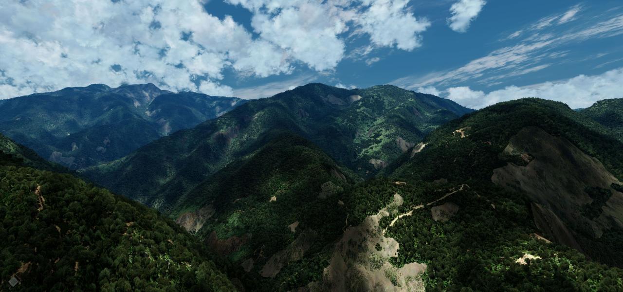
Download free Global (World) scenery for Microsoft Flight Simulator X. This hand-picked collection brings together enhanced and photoreal airports, detailed cities, terrain and landmarks across Global (World) — from major international hubs to smaller regional airfields. Every file is free to download, checked by our team, and updated as new releases land.

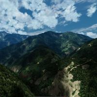
FreeMeshX v2.0 delivers FSX and Prepar3D pilots a 38 m LOD10 DEM-based mesh, refreshing national topography with crisper ridgelines, realistic valleys and accurate heightfields; compact BGL sets in…
 45.47 GB
 128.6KDec 2018
 4/5
4/5 35
35 Video
Video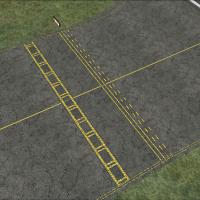
HD asphalt, concrete and tarmac replacements refine default FSX airports with photoreal taxiway markings, subtle weathering, realistic crack patterns and higher-frequency detail1 surface mapping; a…
18.87 MB104.3KDec 20064/510Video
This Ground Environment X add-on refreshes FSX autogen across the entire country, replacing 522 building texture sheets with sharper wall maps, weathered roofs, rooftop HVAC units and new emissive …
105.84 MB42.7KNov 20115/58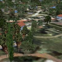
TreeX v2.1 updates France’s FSX terrain with a canopy-free vegetation library derived from 1024 px photographs, supplied in 512 HiFi, 256 Quality and 128 Performance resolutions to balance fidelity…
59.81 MB92.9KMar 20074/533Video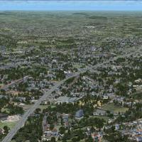
Highways and minor roads across FSX receive higher-definition asphalt with this Aime Leclercq freeware, supplying 7 cm, 15 cm, and 30 cm texture sets plus switchable static-traffic layers for users…
9.78 MB44.8KDec 20114/526Video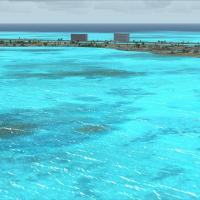
Refines the default Microsoft Flight Simulator X hydrosphere by supplying a 512×512 replacement bitmap with reduced wave amplitude and finer glint definition, selectable in DXT1 or DXT3 compression…
8.48 MB46.9KJan 20074/526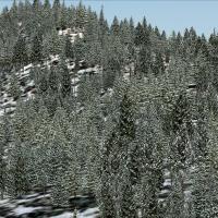
Updated FSX ground-class textures for the United States tone down the over-saturated desert tiles, refine winter palettes, and desaturate autumn foliage, yielding smoother landclass transitions acr…
1.19 GB26.1KAug 20114/542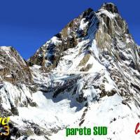
V3 build of the FSX Matterhorn photoreal scenery injects high-definition 1 m terrain tiles across the Italian-Swiss alpine ridge, employing custom vertical mapping that curbs slope stretching while…
13.91 MB1KNov 20112
This FSX Europe Mesh SRTM v2 package supplies 3-arc-second Shuttle Radar DEM coverage across the continent, refining elevation data for every European airspace in Microsoft Flight Simulator X. Both…
325.81 MB12KFeb 20094/5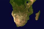
Covering Southern Africa down to 23° S and 30° E, this 76 m SRTM v2.1 terrain mesh bundle (LOD9) consolidates base grids 0604, 0704 and 0705, supplying continuous elevation detail for FSX/P3D acros…
176.26 MB1.7KJan 20125/5
From the Yucatán peninsula down to Tierra del Fuego, this 76 m SRTM mesh for FSX integrates NASA v2 data with Ferranti DEM corrections, offering precise topography, crisper ridge lines and realisti…
511.89 MB3.2KJan 20095/5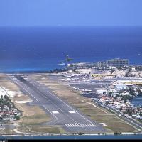
Covering 57 cays across the Virgin and Leeward archipelagos, this FSX add-on delivers reshaped mesh, resized runways, updated radionav aids and corrected shorelines for dependable VFR work and IFR …
13.68 MB1.7KOct 20113/510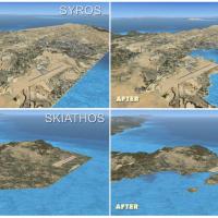
Fine-grained shoreline vectors reshape Greece’s coasts in Microsoft Flight Simulator X, updating mainland peninsulas, the Cyclades, Ionian and Dodecanese islands, along with adjacent western Turkis…
2.83 MB5.7KJan 20075/54
Compact autogen texture pack for Microsoft Flight Simulator X halves bitmap dimensions to 512 × 512 DDS with full mip-maps, dropping each file from 683 kB to 171 kB; the reduced memory footprint cu…
6.33 MB4.1KDec 2009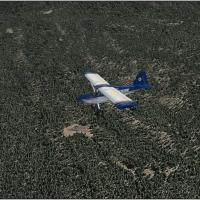
This 30 cm Generic Project Forests set refreshes Microsoft Flight Simulator X terrain by swapping the stock 1 m vegetation tiles with sharper 30 cm photoreal forestry textures—coniferous, deciduous…
814.8 MB3.6KDec 20113/511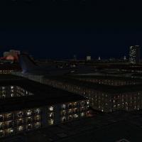
Part-22 of Team GEX’s Enhanced Major Metro Autogen, a Ground Environment X series scenery add-on, overhauls 48 stock FSX building textures, reinstating night light-maps and aligning chromatic tones…
14.3 MB3.2KNov 20117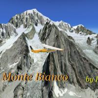
Mont Blanc Photorealistic Scenery for FSX brings a high-resolution aerial texture set to the French-Italian Alpine sector, overlaying 2 m imagery for crisp snowfields, stratified rock faces and aut…
106.95 MB2.1KNov 20113/52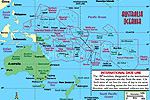
Regional 76 m SRTM v3/4.1 digital elevation mesh upgrades FSX topography across Australia, New Zealand, Papua New Guinea, Indonesia and surrounding Pacific archipelagos, supplying refined coastline…
886.54 MB7.6KDec 20113/5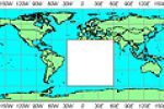
Covering the entire African continent, Raimondo Taburet’s FSX SRTM3 v2 terrain mesh delivers updated 3-arc-second elevation data across deserts, highlands and coastal basins, packaged in a single d…
503.85 MB3.4KFeb 20095/5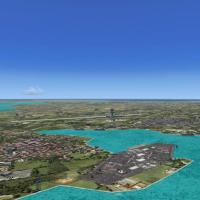
Covering Trinidad, Tobago and the adjacent Windward–Leeward chain, this FSX mesh upgrade by Toni Agramont layers Yohann Baptiste’s DEM terrain with 27 detailed airfields, custom photo landclass, de…
18.86 MB3.3KNov 20114/56